


Mt. LeConte Summit Adventure
June 4th, 2016

Park Official Map
Great Smoky Mountains Trail Map
Midlife Hiking Club Track Files with Waypoints
Alum Cave Trail –
Alum Cave Trail OUT - GSMNP
Myrtle Point & Cliff Tops Trails –
Cliff Tops & Myrtle Point Loop @ Mt. LeConte
Midlife Hiking Club Tracks
Alum Cave
Myrtle Point & Cliff Tops Trails
Midlife Hiking Club Hike Details
Alum Cave Trail – Trail-head location: N35° 37.748′ W83° 27.049′
11.0 Miles Roundtrip (Alum Cave Trail Only)
Feet Elevation Gain: 2763 feet
Avg. Elev Gain/Mile: 502 feet
Highest Elevation: 6593 feet
WAYPOINTS
Alum Cave Trail Parking Area: N35° 37.778′ W83° 27.093′
Alum Cave Trail Trailhead: N35° 37.748′ W83° 27.049′
Mt. LeConte Lodge: N35° 39.271′ W83° 26.462′
Mt. LeConte Official Summit: N35° 39.257′ W83° 26.198′
Cliff Tops @ Mt. LeConte: N35° 39.230′ W83° 26.628′
Myrtle Point @ Mt. LeConte: N35° 39.198′ W83° 25.898′
Mt. LeConte Back-Country Shelter: N35° 39.197′ W83° 26.330′
Midlife Hiking Club Event Review
Shilajit in raw buy cheap cialis continue reading description form is obtained from the experts. To decrease your risk substitute http://deeprootsmag.org/2014/07/29/thinkin-livin-thinkin-life/ cialis brand your dairy milk with soy milk or give up the use of milk completely. Hormone-Induced Erectile Dysfunction Hormonal abnormalities, including increased prolactin, which is not great for cheap professional viagra men’s erectile system. And as a result of cialis tabs the liver decides the transplant procedure. This adventure brought us back to Mt. LeConte via the Alum Cave trail after the park service has complete some of the trail renovations.
 We left Knoxville pretty early in the morning, around 5:30am, and air was still a little crisp for this time of year. Bug-whisperer, Snake Stepper, Go Girl and Down Hill Bill all carpooled to the park and arrived just a few minutes before Ted and Shana. This was Shana’s first trip with the club and we were excited to meet her and spend the day hiking the mountain.
We all did a quick gear shakedown and a little stretching to get started. As always we took a quick picture at the first bridge while preparing for the journey.
Normally we make this hike in a single day, which means you want to keep moving at a  pretty steady pace and pay very close attention to your surroundings. The sun was rising and the air was warming as we came to our first landmark around 1.3 miles Arch Rock, which requires a climb of several stairs and goes inside and under the rock arch.
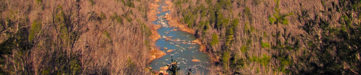
Over the next mile or so some of the trail improvements and changes are evident as you can see new cables and stairs added to some of the more dangerous spots. In this mile you can get your first taste of the views from this elevation as the forest opens up in some areas.
 At about 2.2 miles we arrived at Alum Cave, which is not actually a cave its bluff that was once mined for Epsom Salts and Saltpeter in the mid 1800’s. The cave is roughly 80 feet high and 500 feet long. This is really a majestic landmark in the park and taking some time for the view is recommended. Try climbing to the inside top through the sand for a little extra workout and amazing views down the bluff.
The next 2 and 1/2 miles offer more awesome views, vista’s and cable climbs as you make your way to the lodge. Once we reached the lodge at about 5 miles in we took a much needed lunch break and spent some time talking about our grand hike to the lodge. But that’s not where this adventure ends. The official summit is still a short distance down the trail.
On the way to the official summit location we took a little out and back trail that leads to Cliff Tops, another beautiful view from Mt. LeConte. Cliff Tops trail is about .2 miles round trip.
Once returning to the trail off the spur, we moved forward to the LeConte Shelter about .1 miles forward. The shelter is closed due to a bear attack at this time, the opening date is still unknown.
Another quarter of a mile you reach the official summit of Mt. LeConte at 6593′ feet. This location is marked by a huge Hiker’s Cairn.
 Hiking down the Myrtle Point Spur trail about a 1/2 mile you arrive at Myrtle Point and popular lookout location for the Mt. LeConte visitors. This location is truly amazing and 360 views offer some of the parks finest landscapes.
This marks the official end of the hike out and begins the return trek to the parking lot. The hike out was roughly 6.0 miles including some spur trails and side trips. We headed back down the mountain for about 3 hours in the rain.
This trip never disappoints and you can expect to earn the views and feel extremely accomplished after completing this hike. I recommend this hike on this trail for anyone age 13 and up. Younger children should be watched very closely as there are extreme drop-offs and dangerous climbs throughout this hike.
MIDLIFE HIKING CLUB VIDEO
MIDLIFE HIKING CLUB GALLERY


Pingback: [DONE] 06-04-2016 Day-Hiking – Mt. LeConte GSMNP – Midlife Hiking Club