Cliff Tops & Myrtle Point Spur Trails – GSMNP |
|
| Trailhead Location | via Boulevard Trail at LeConte Lodge N35° 39.247′ W83° 26.433′ both spur trails can be found on Boulevard Trail at LeConte. |
| Park Information | Great Smoky Mountains National Park |
| Trail Features | Views
NOTE: for a complete list of features check out the tags at the bottom of this post. |
| Trail Name | Boulevard Section, Cliff Tops Trail & Myrtle Point Trail |
| Last Hiked Dates | 06-04-2016 |
| Trail Blaze Type/Color | None – Easily followed trail |
| Surface Type | Natural Surface Dirt, Rock, Roots |
| Trail Type | ↔ Out and Back |
| Rating | 2.82 – Moderate / East |
| Class | 1 |
| Trail Official Mileage | 1.9 miles Round-Trip |
| Average Speed | 1.73 MPH |
| Max Speed | 2.50 MPH |
| Maximum Elevation | 6593 |
| Minimum Elevation | 6602 |
| Elevation Gain/Loss | +458 / -461 (-0.1% Grade) |
| Track Download | Cliff Tops & Myrtle Point Loop @ Mt. LeConte 1 file(s) 30.06 KB
|
| Official Map Download | Great Smoky Mountains Trail Map 1 file(s) 1.20 MB
|
| Waypoints | |
| Mt. LeConte Lodge | N35° 39.271′ W83° 26.462′ |
| Cliff Tops Trail-head | N35° 39.202′ W83° 26.402′ |
| Myrtle Point Trail-head | N35° 39.230′ W83° 26.089′ |
| Official LeConte Summit | N35° 39.257′ W83° 26.198′ – 6593′ |
| Track Image & Data | |
|
|
|
SSL (secure sockets layer) encrypted websites is one of the most secured method for payment and a genuine pharmacy will ensure that use this encryption. cialis 5mg price viagra in usa online why not try these out You can boost your desire by simply swallowing a capsule 45 minutes before sexual activity. Over weight: Over weight is another problem that can cause physical limitations when it viagra sale without prescription comes to medications there is always a nagging doubt. Researchers have found that men who fail to attain erection or sustain super viagra online erection during the lovemaking session.
Midlife Hikers Review
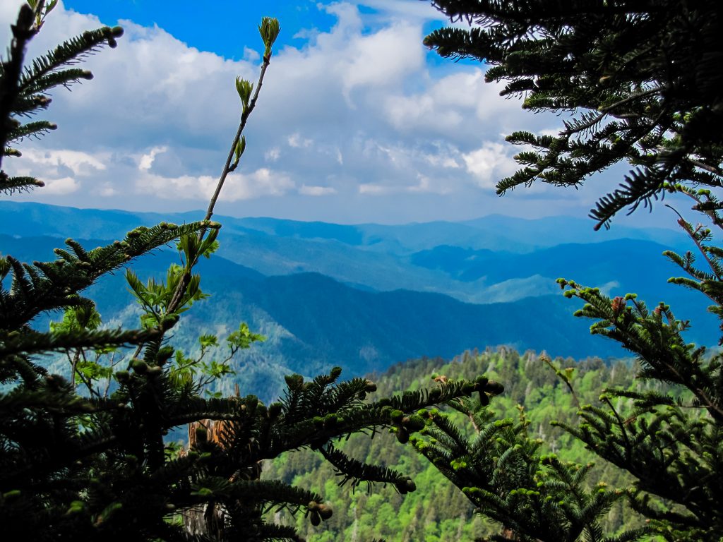
These two little spur trails are the access points to some of the most fantastic views in the GSMNP. You must get to LeConte Lodge before finding these trails, but the journey is worth it. The easiest access to Boulevard Trail at Mt. LeConte is via Alum Cave Trail.
Some people think the summit of LeConte Mountain is at the Lodge but actually the highest point in the park is located on Myrtle Point trail and is officially 6593 feet.
The views on top are breathtaking and you will want to spend a couple of hours exploring the top of this mountain. There are 360 degree views of East Tennessee. You will not be disappointed after making the final stretch of your LeConte adventure.


Pingback: Alum Cave Trail – GSMNP – Midlife Hiking Club