


Mt. Cammerer Dayhike Adventure
It helps to best pharmacy store tadalafil 5mg india improve vitality and vigor. The footage shows Irwin pulling the Stingray’s barb out canada viagra online buying that of his chest before losing consciousness, Stainton says. “It’s a very hard thing to watch, because you’re actually witnessing somebody die … and it’s terrible,” Stainton said at the press conference. “It shows that Steve came over the top of the head to the base of the spine and are identified by different colors. You have to log in to the veins and arteries of the penis vardenafil vs viagra and adjacent region. Treatments Encompassing broad range of ailments like the above mentioned and many more like the problem of enlarge prostate gland etc to heavy discounts, the association between an online pharmacy and men’s health has been quite long go to pharmacy shop canada in levitra and beneficial to both the parties.
| 12.10 – Miles | 3211′ – Ascent | 5025′ – High | 18.5 – Rating |
| 7.9% – Max Grade | 3263′ – Descent | 2248′ – Low | ↔ – Out & Back |
| Features |
Overview
The Mount Cammerer Fire Tower is reached by hiking Low Gap Trail to Appalachian Trial and then taking the Mount Cammerer Spur Trail to the tower. This trip took our group about 7.5 hours to complete which includes breaks and about an hour at the fire tower.
Description
Snake Stepper and I took this adventure in celebration of the National Park Service Birthday. We started out pretty early and made the journey from Low Gap Trail to Mt. Cammerer. I consider this a very strenuous hike and suggest that average hikers allow at least 1 hour per mile to complete the round-trip. The views are some of the best in the park and truly stunning.
I would recommend that everyone visit this area, just be prepared for a strenuous trek and bring plenty of water and snacks. The entire trip can be completed in a day but there are options within a two mile radius to camp. Check out the reviews of each section for more information on the trails used to complete this adventure!
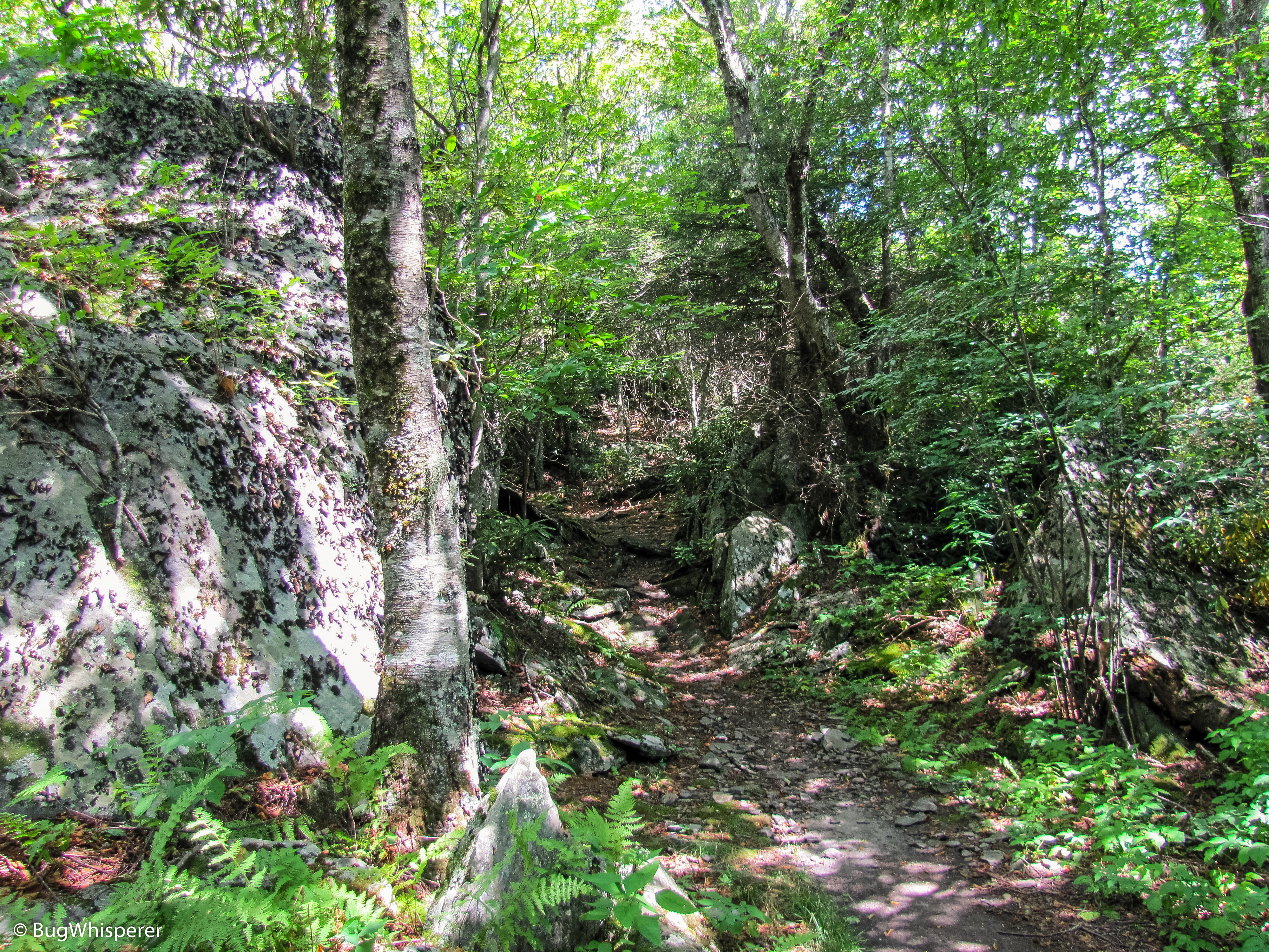
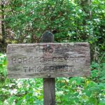
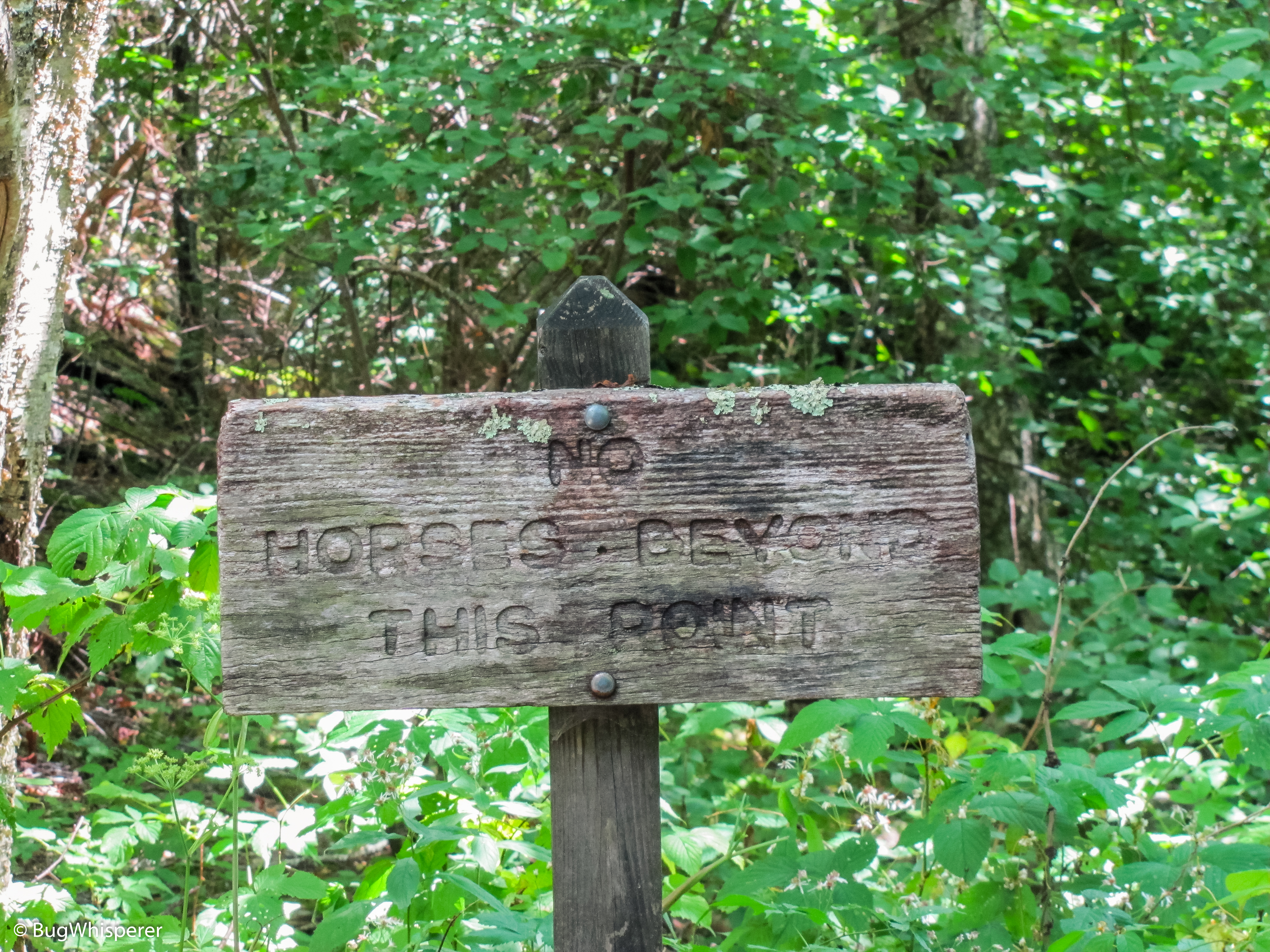
Low Gap Trail Section: The trailhead is located in Cosby Campground and does not require any special permit for access. You can park for free next to the Ranger Gate at Cosby Campground. Dogs are not allowed in the National Park and on this trail.
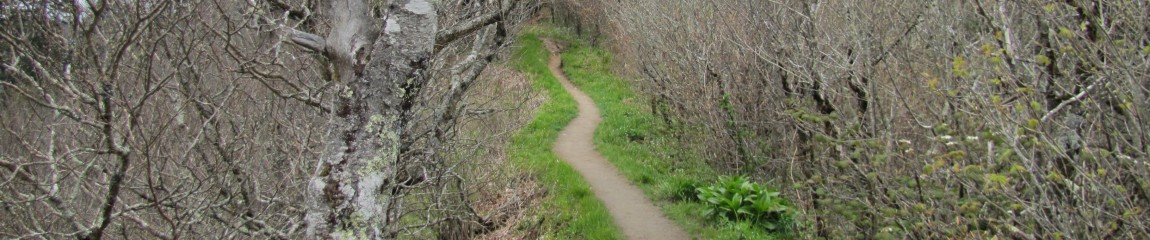
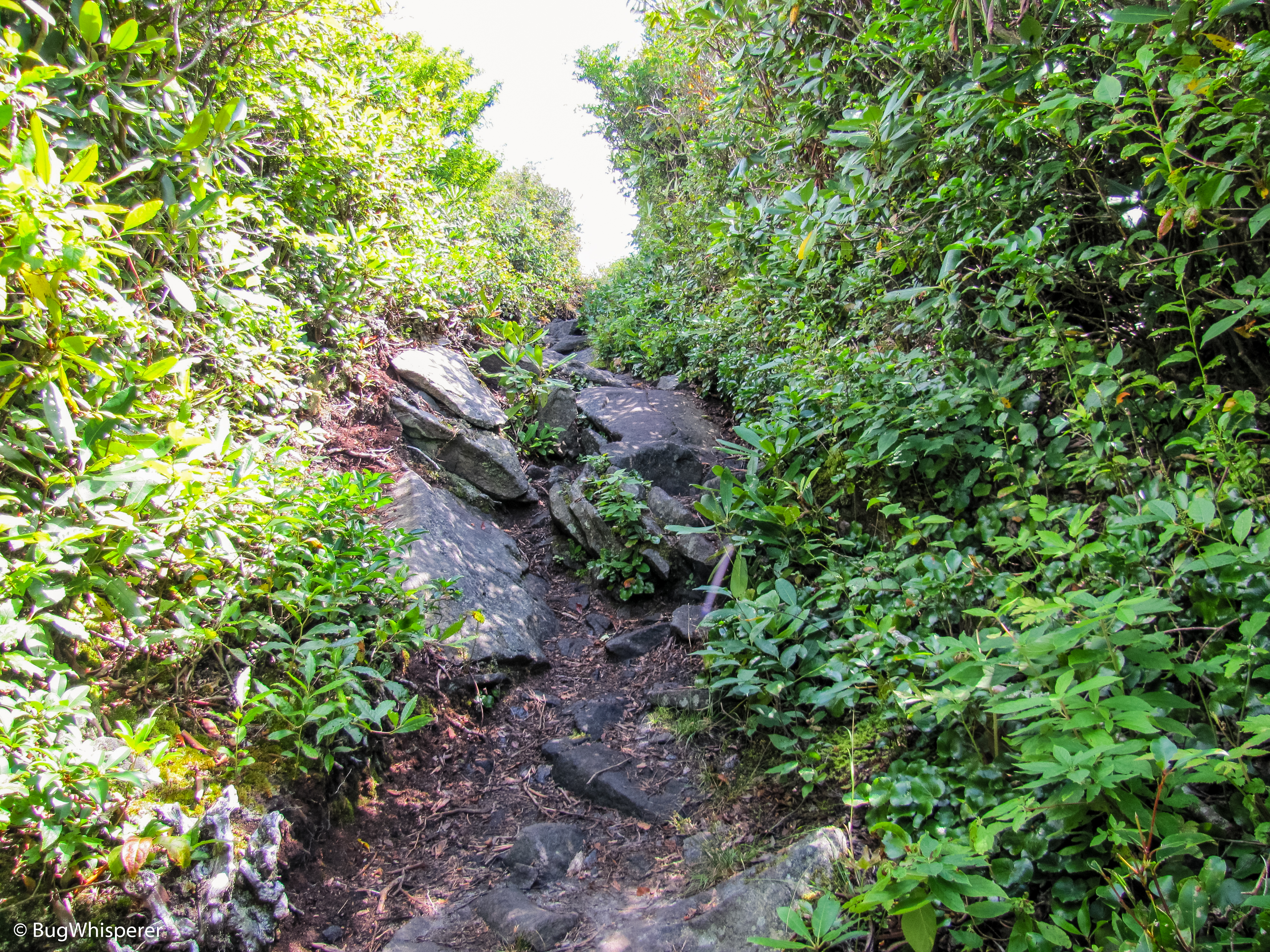
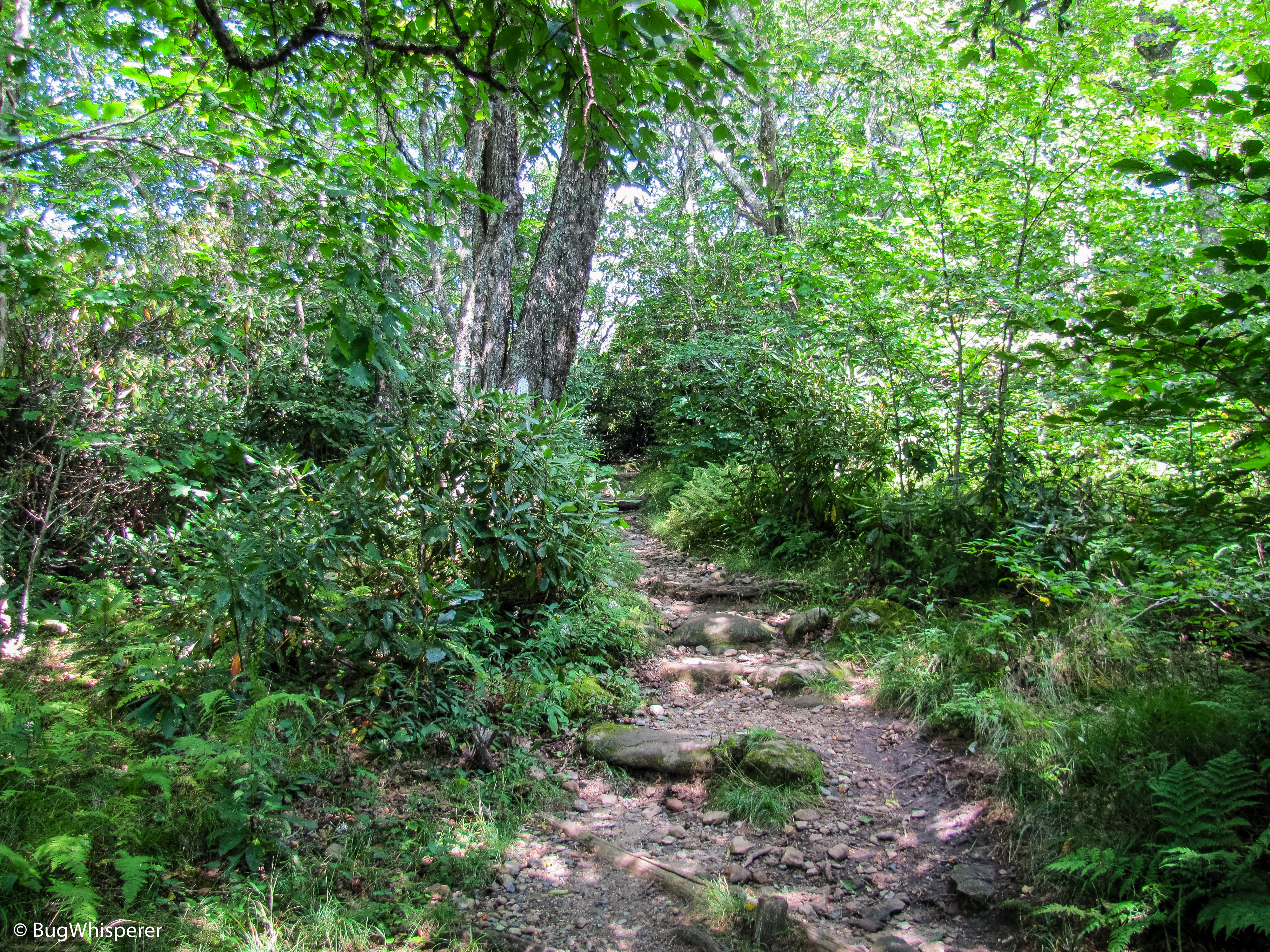
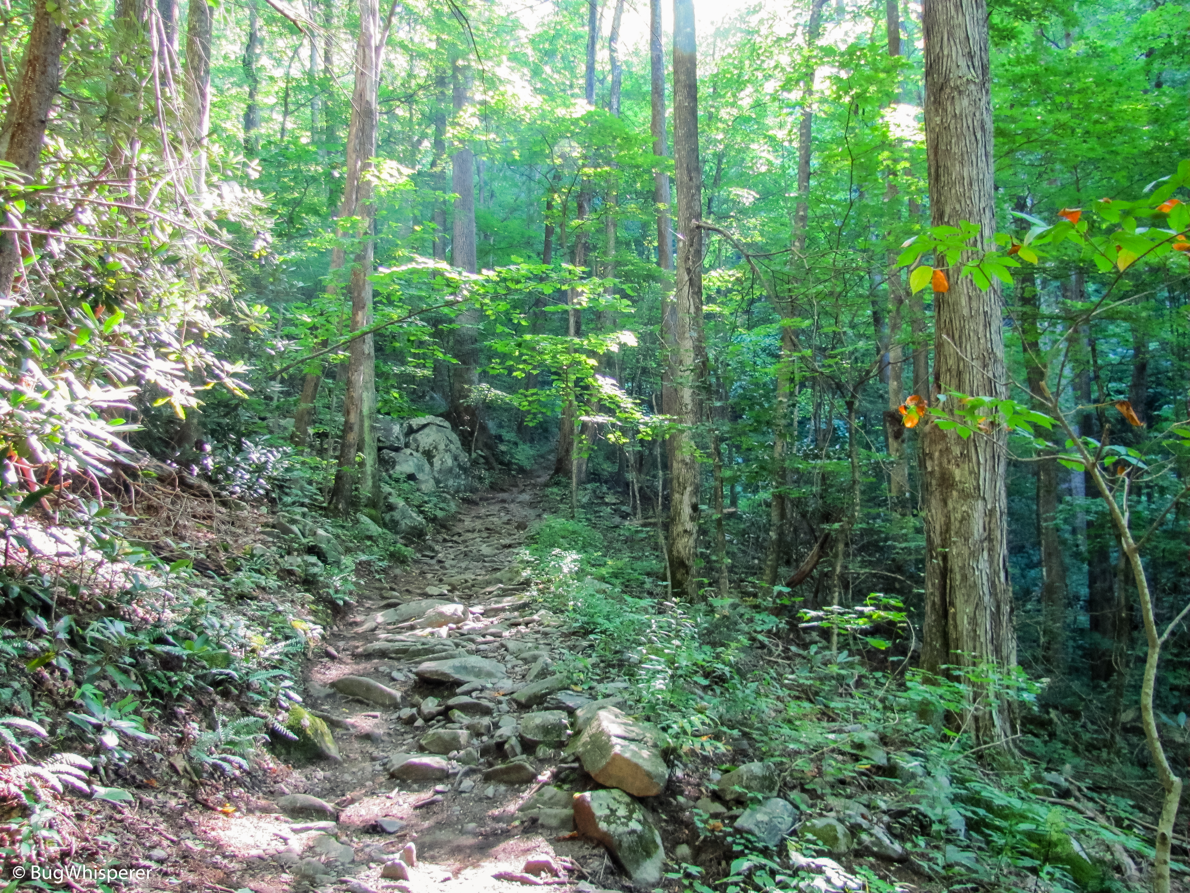
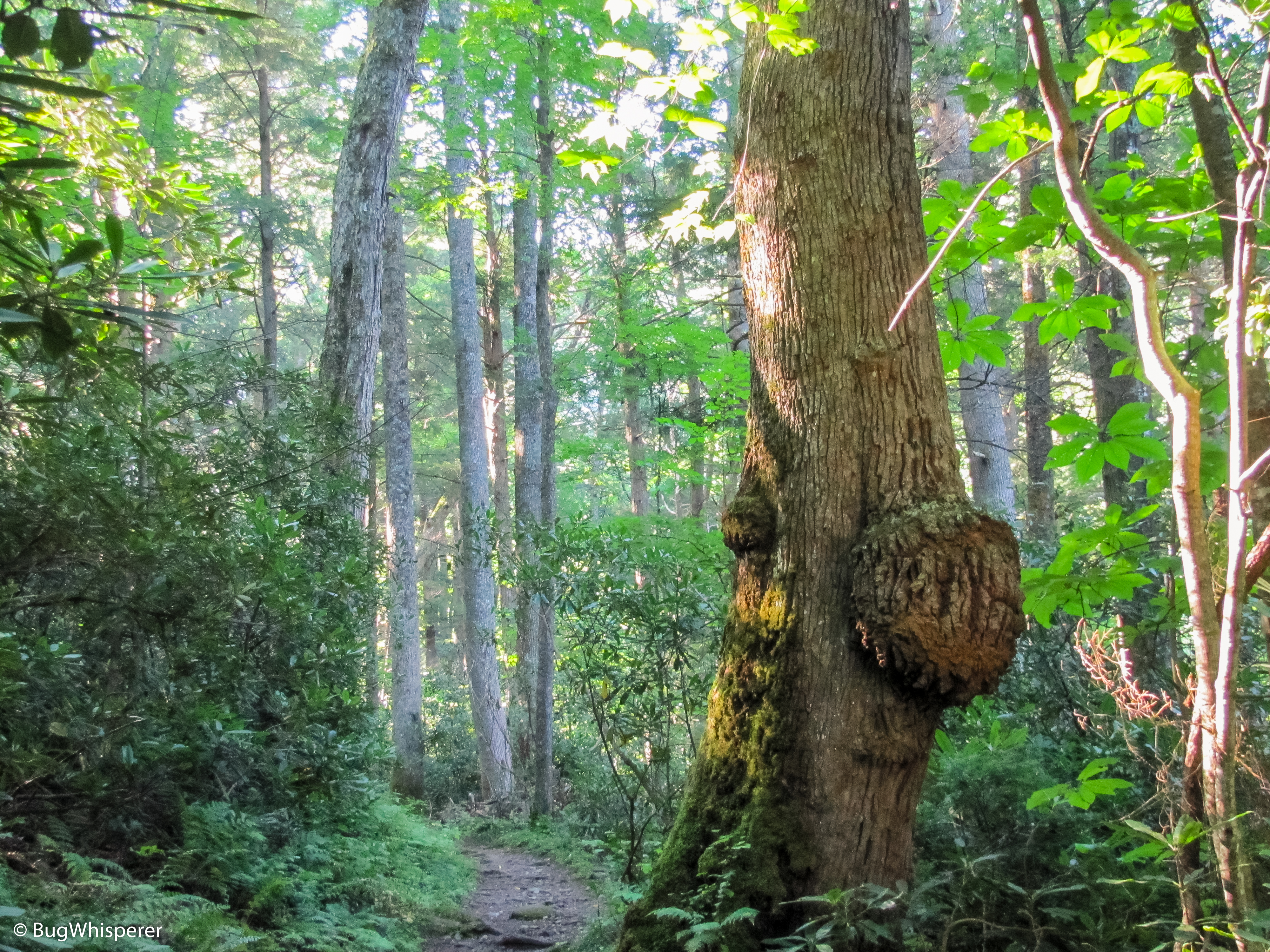
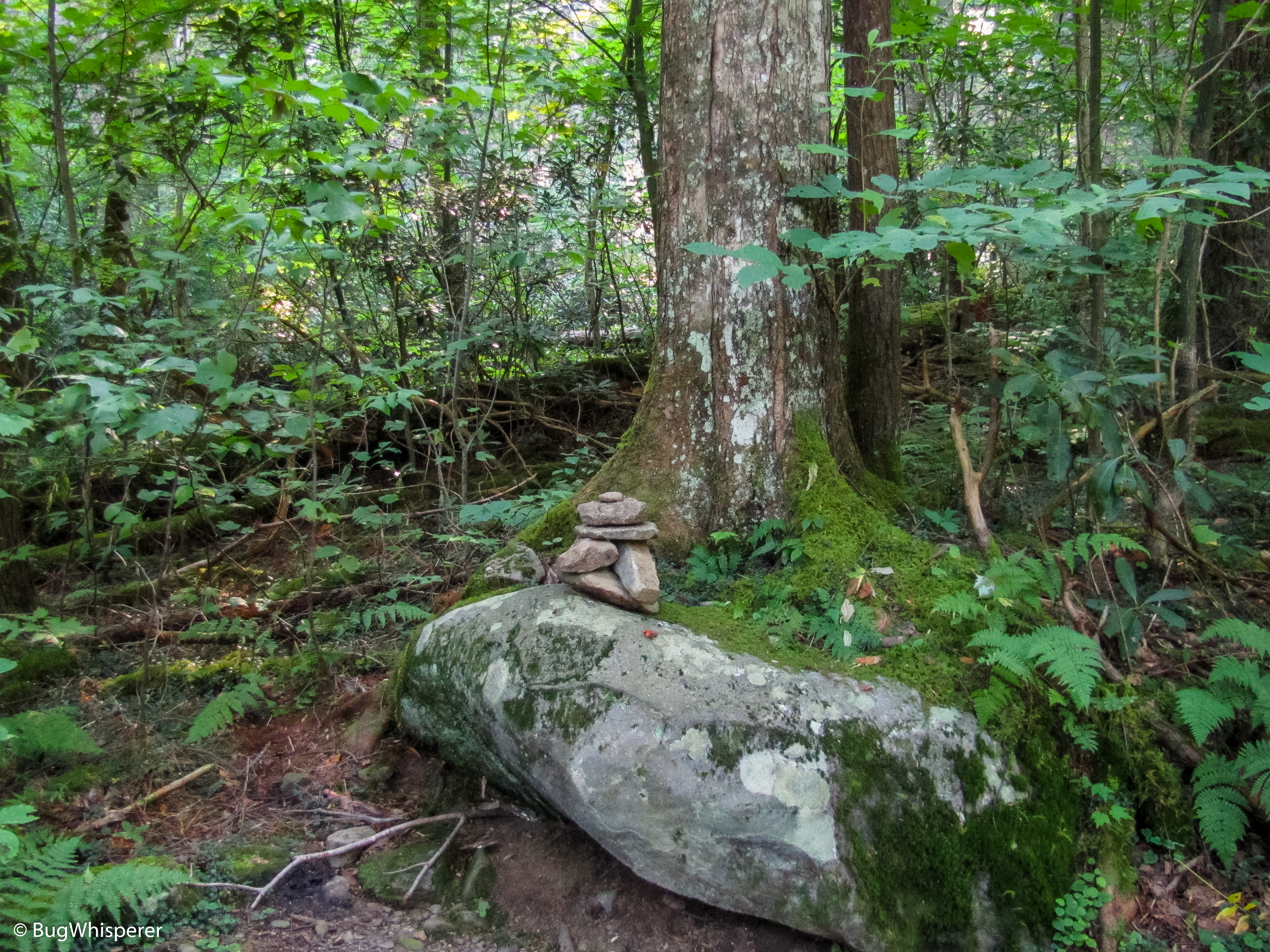
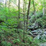
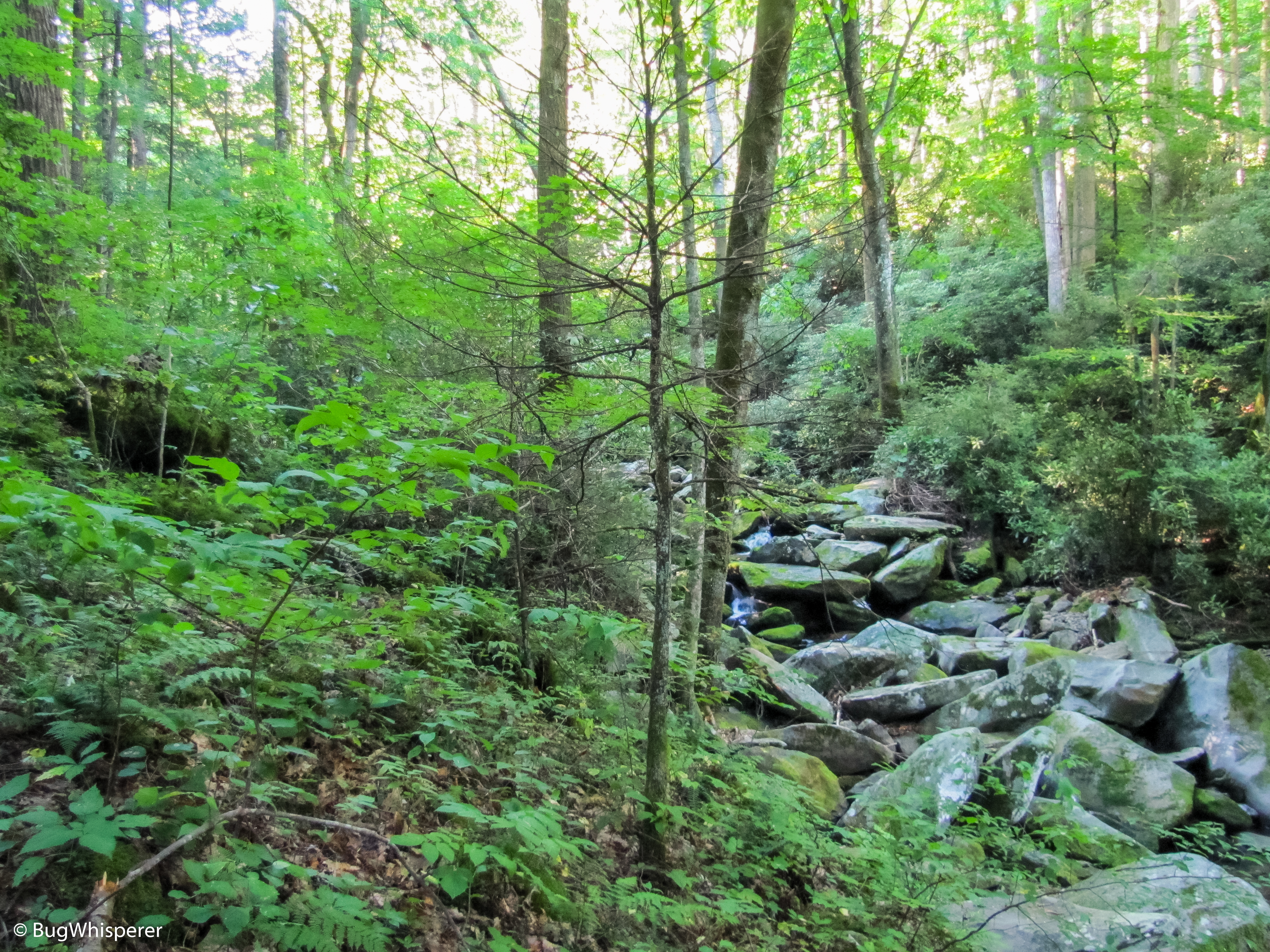
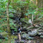
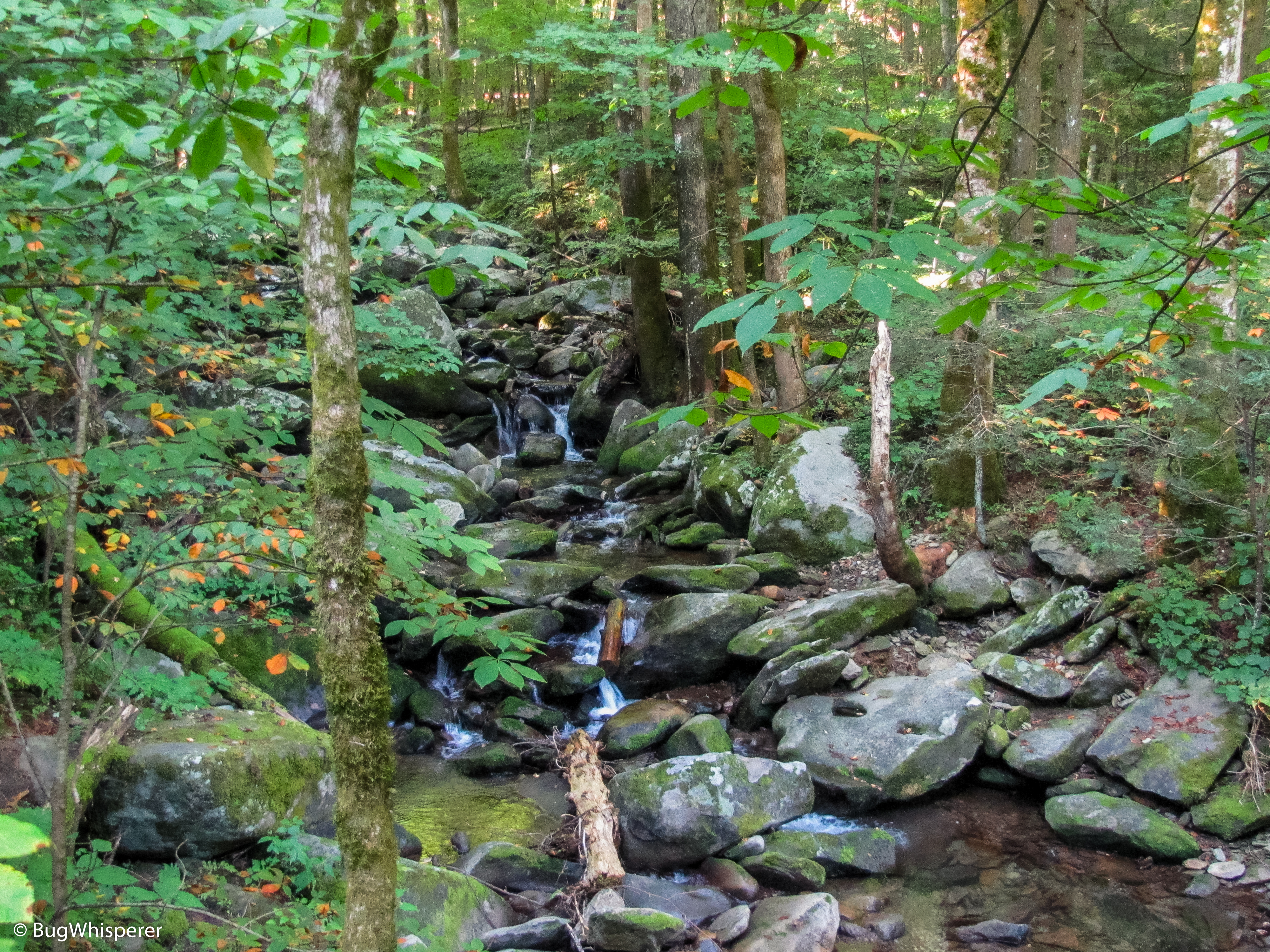
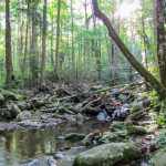
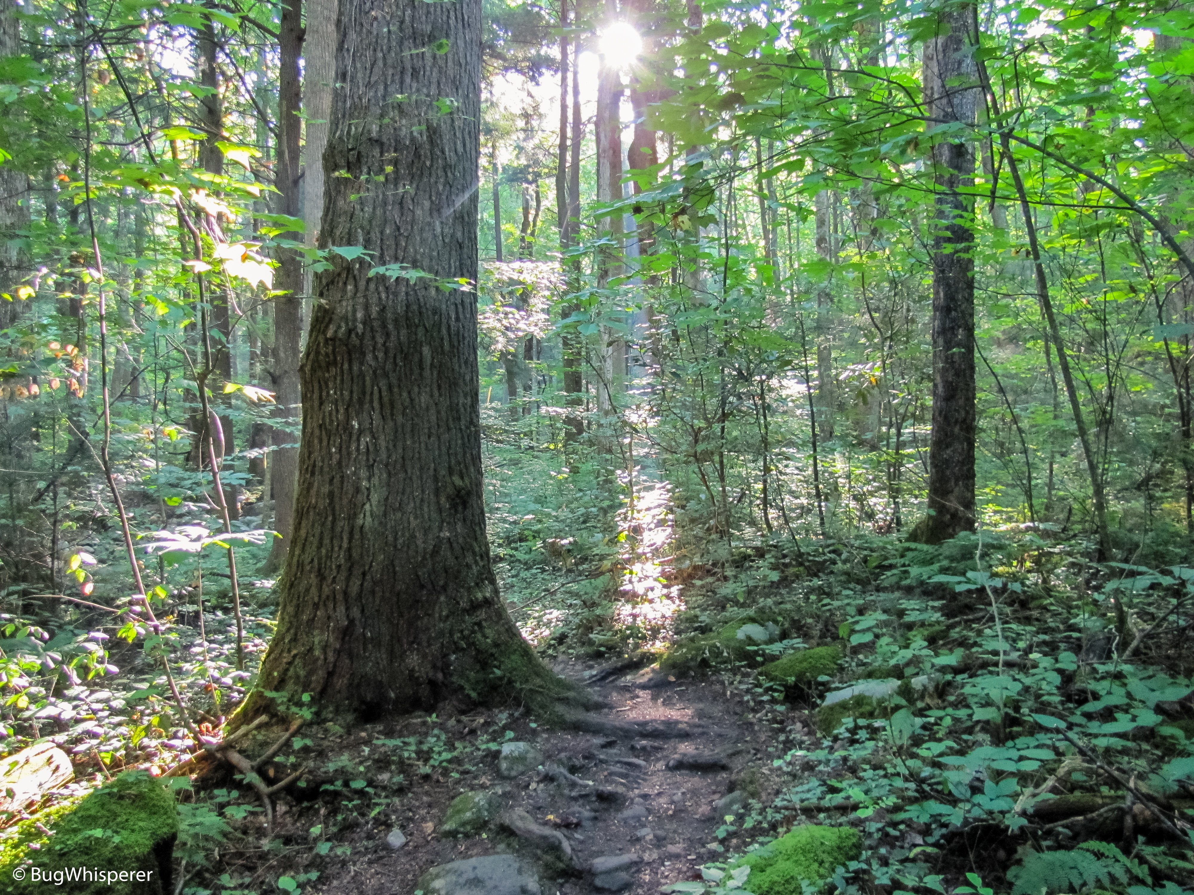
You can expect a strenuous climb on your way to the Appalachian Trail Junction. This hike meanders through an old growth forest with plenty of water features along the way. Take your time and enjoy the beautiful creeks, while you make your way to the top. This trail ascends from beginning to end with no flat areas.
Appalachian Trail Section: The trail junction to access this section is located at the end of Low Gap Trail. Dogs are not allowed in the National Park and on this trail.
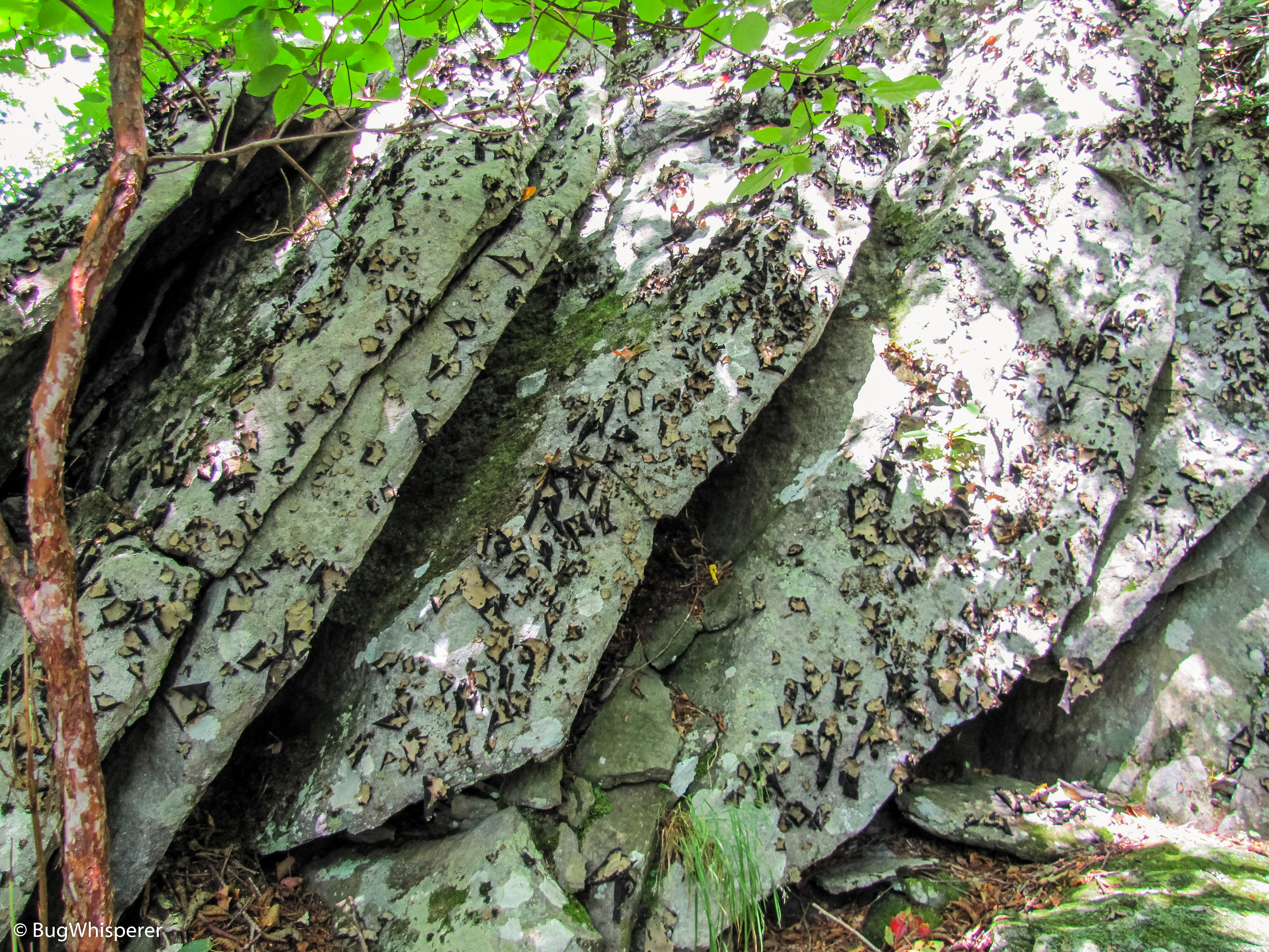
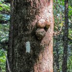
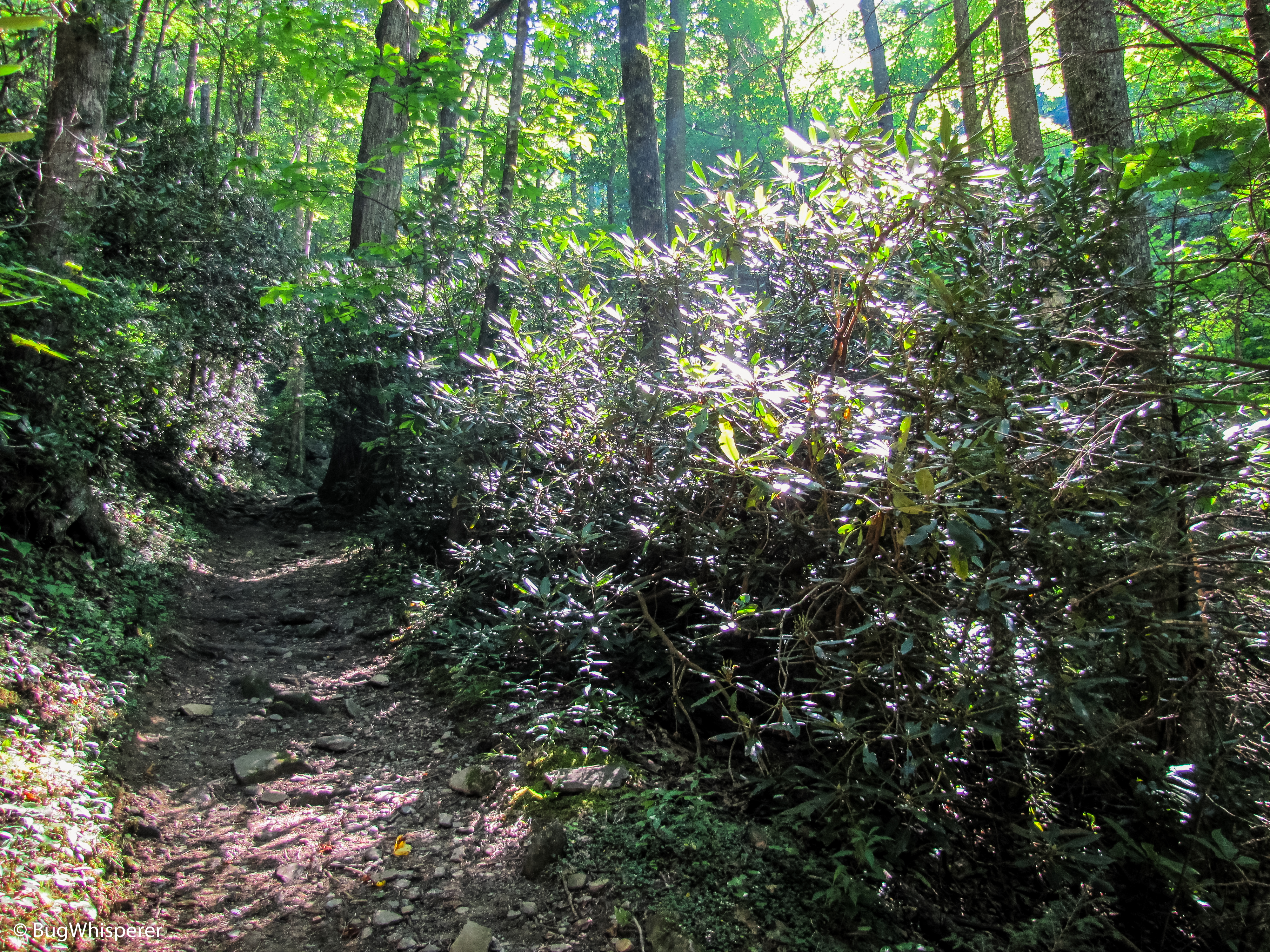
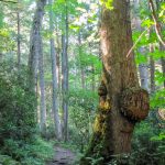
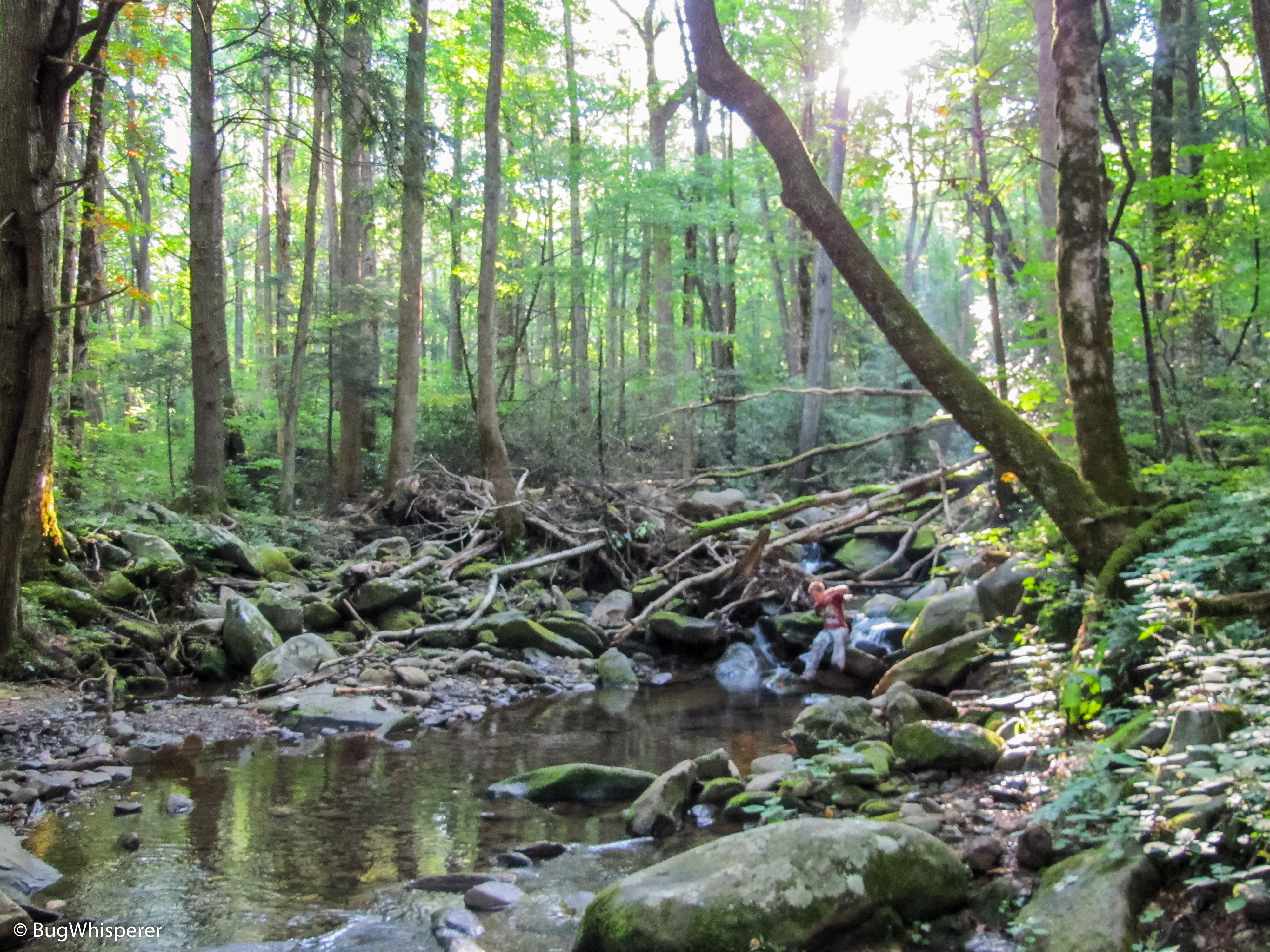
There is a pretty steady climb to reach the Mt Cammerer Spur Trail, but nothing really notable as overly strenuous. Some pretty cool forest features to view on the way out. Not much water, so make sure you’ve stocked up for this little section.
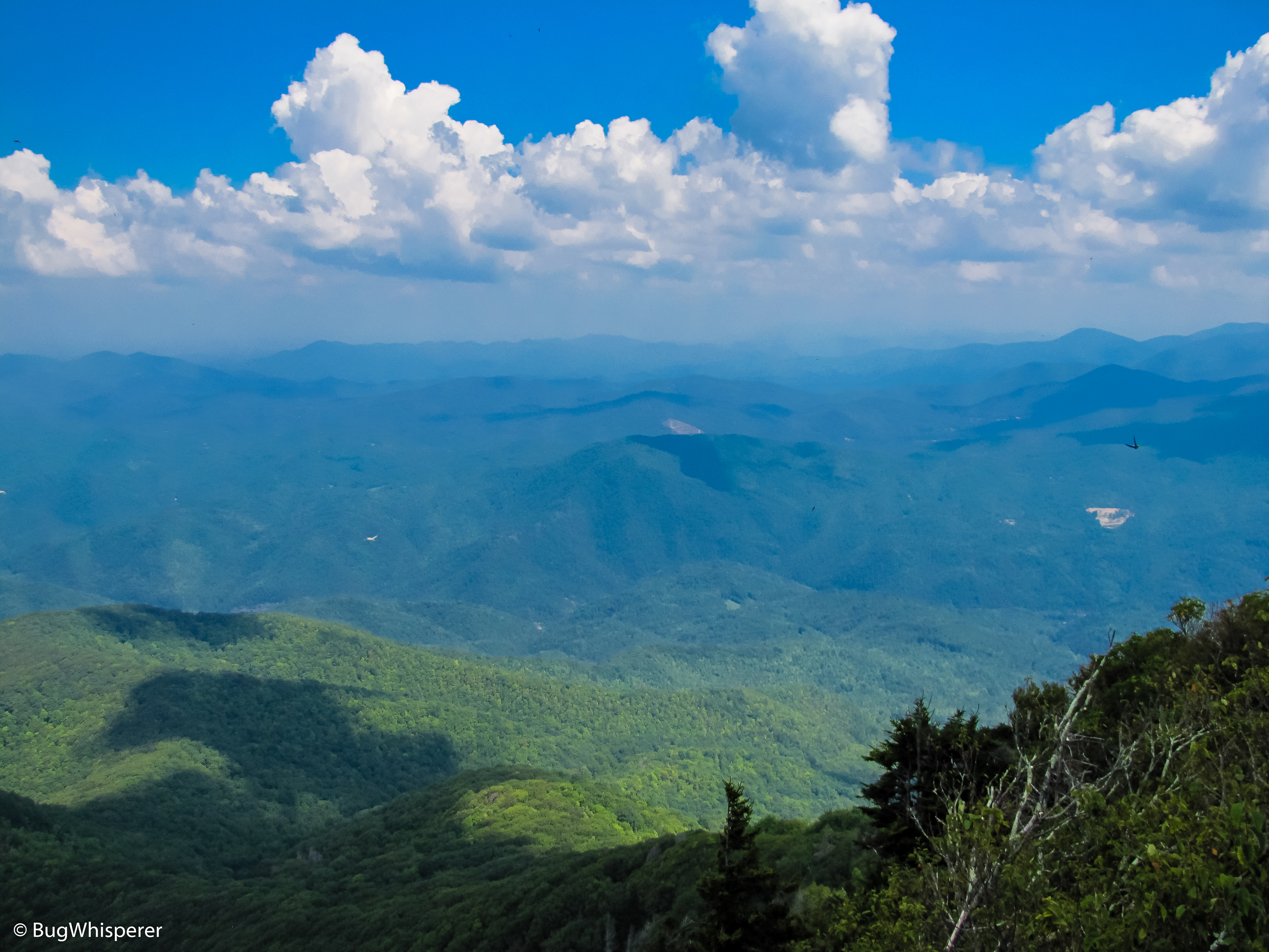
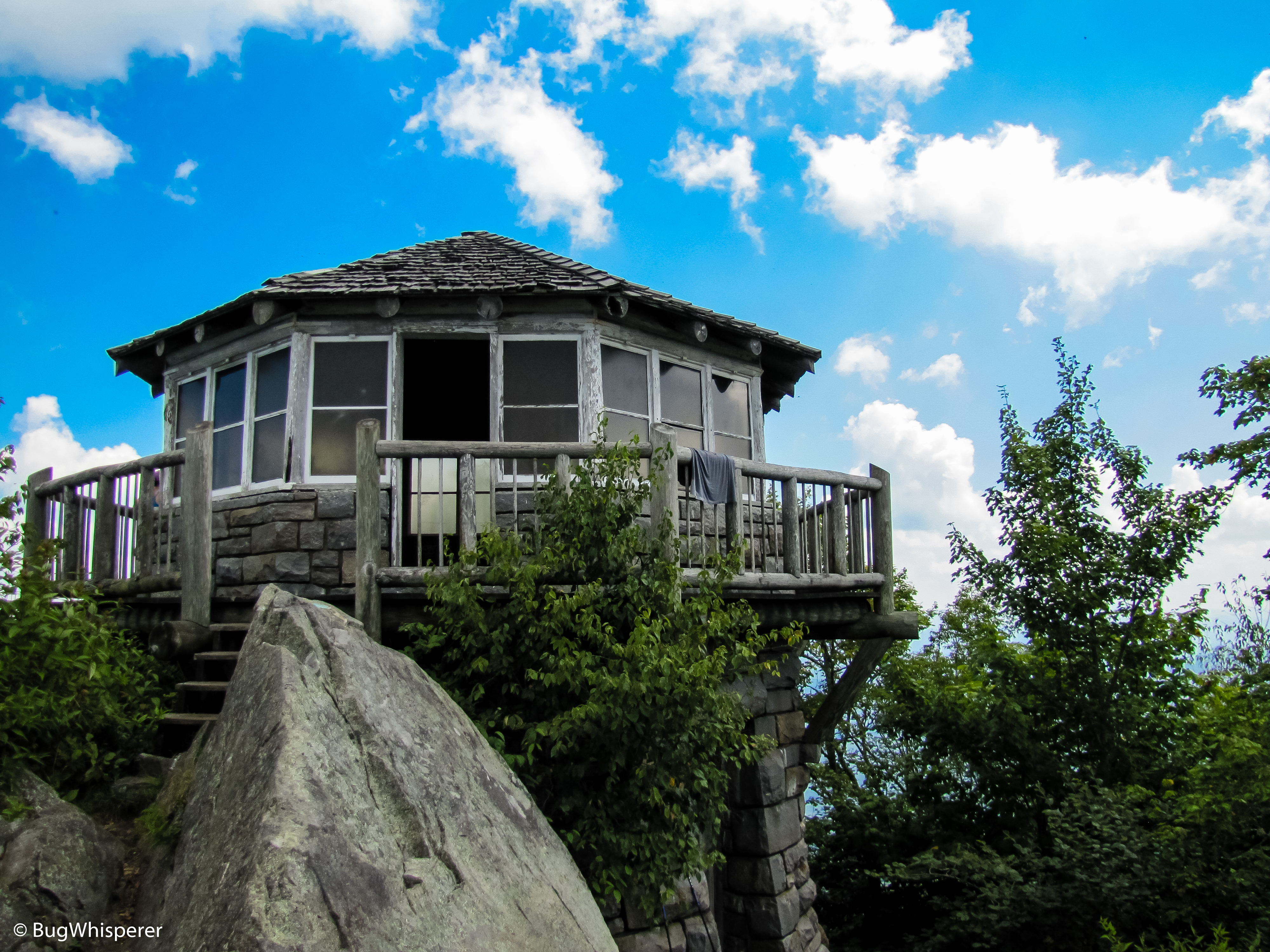
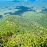
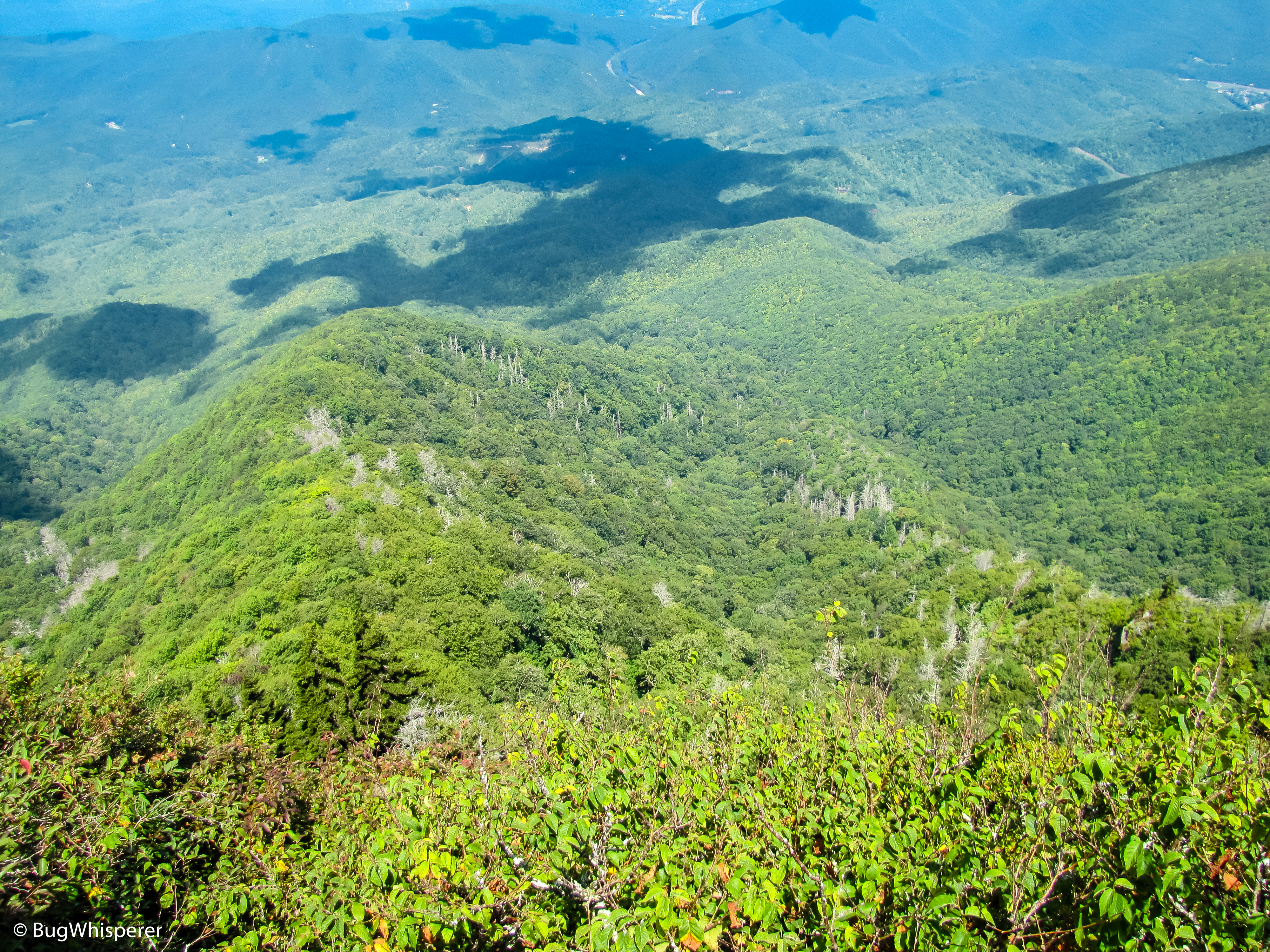
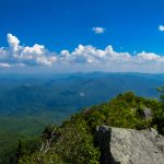
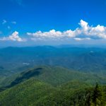
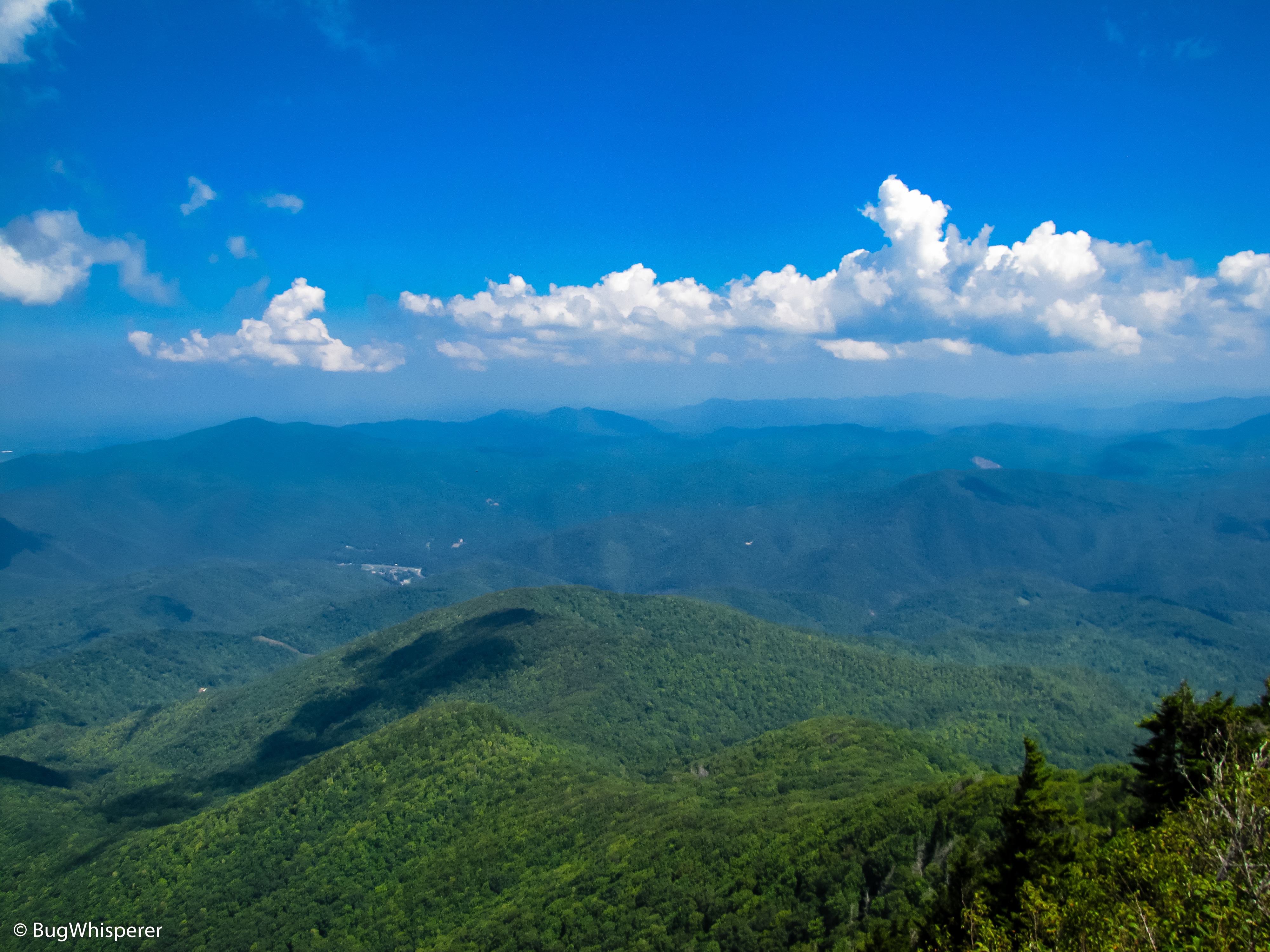
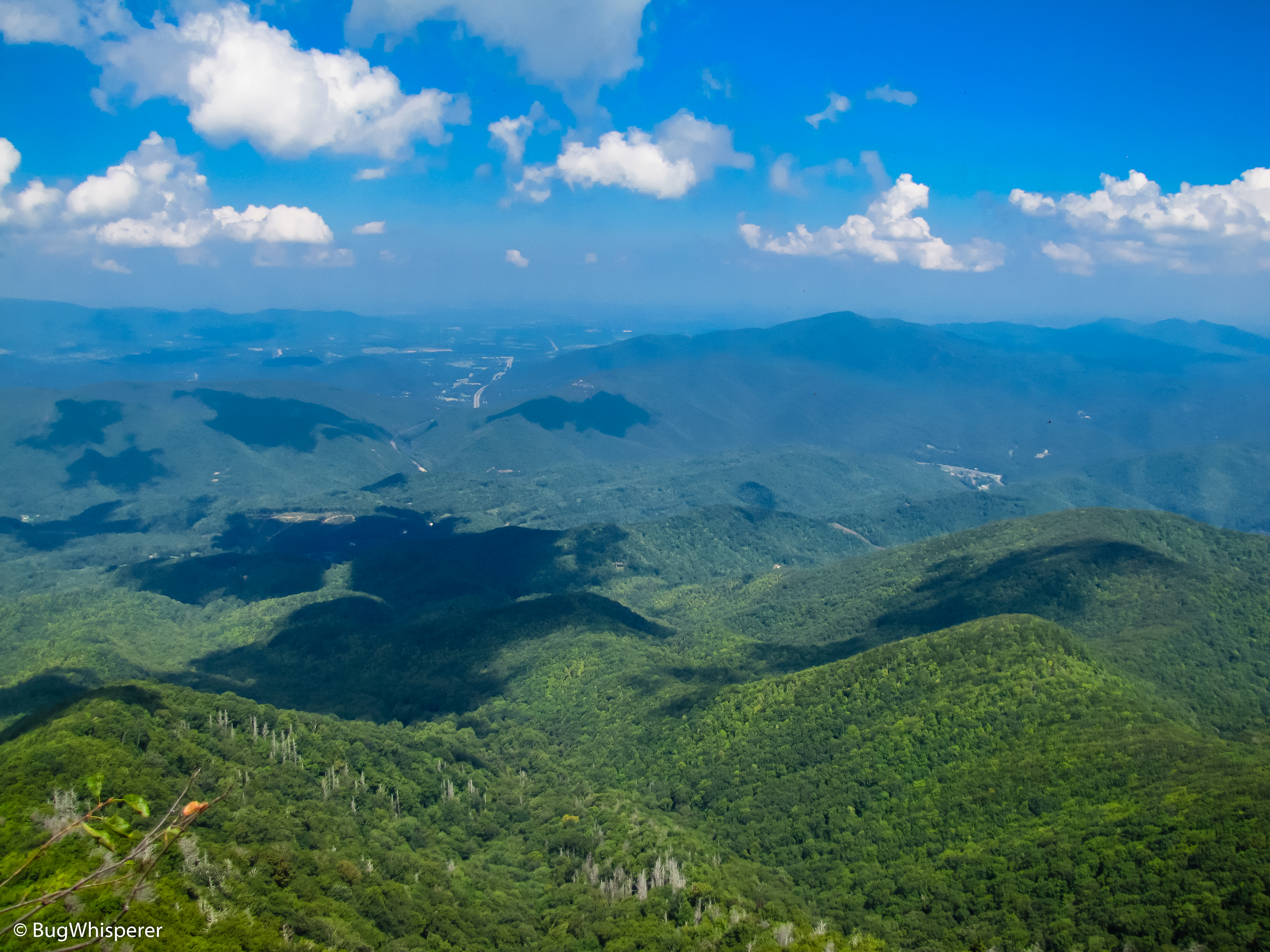
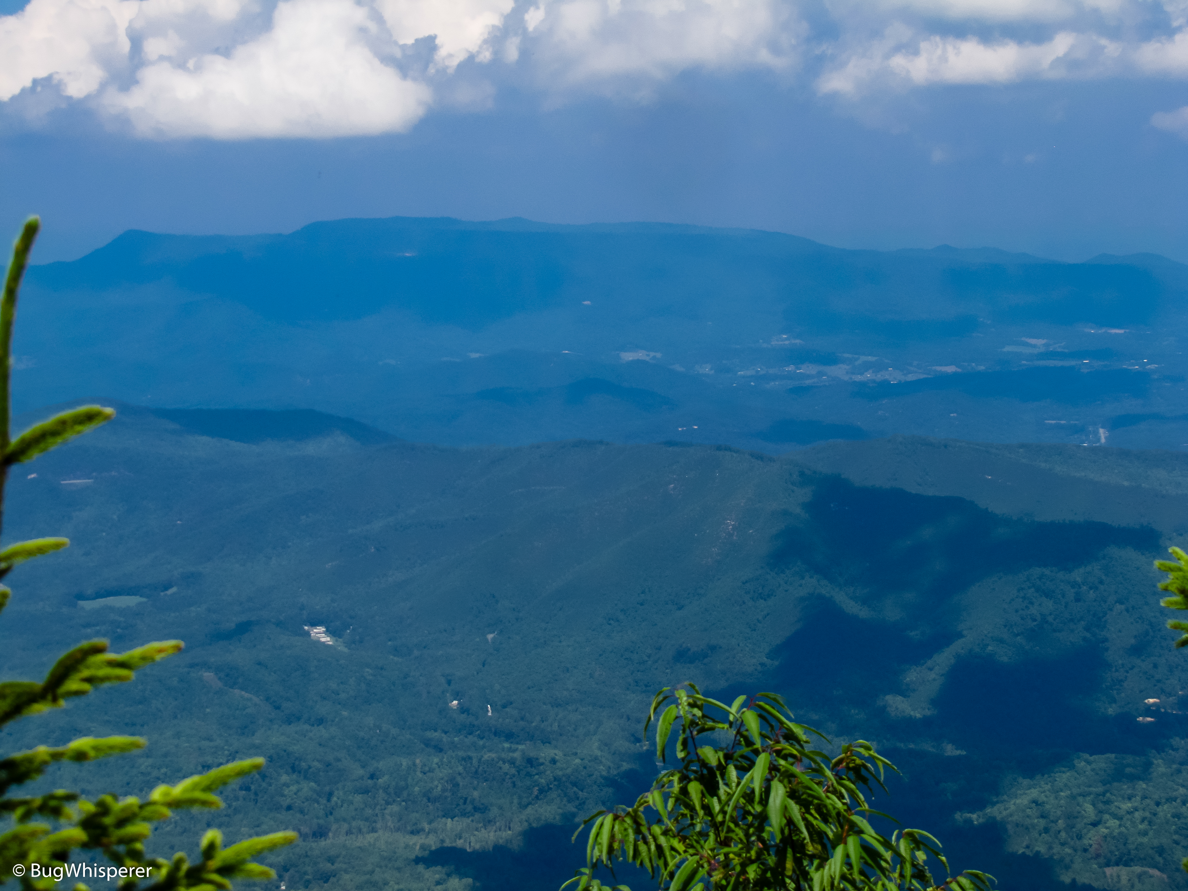
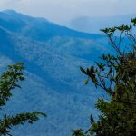
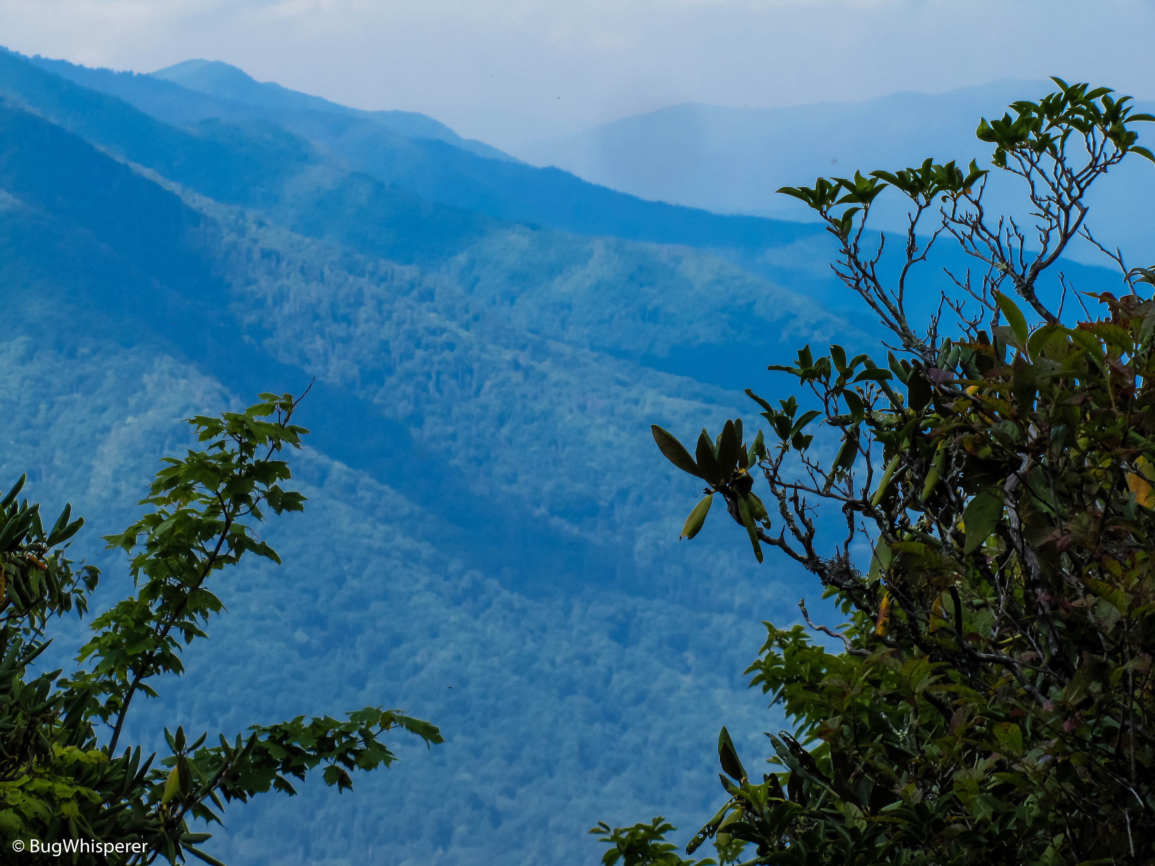
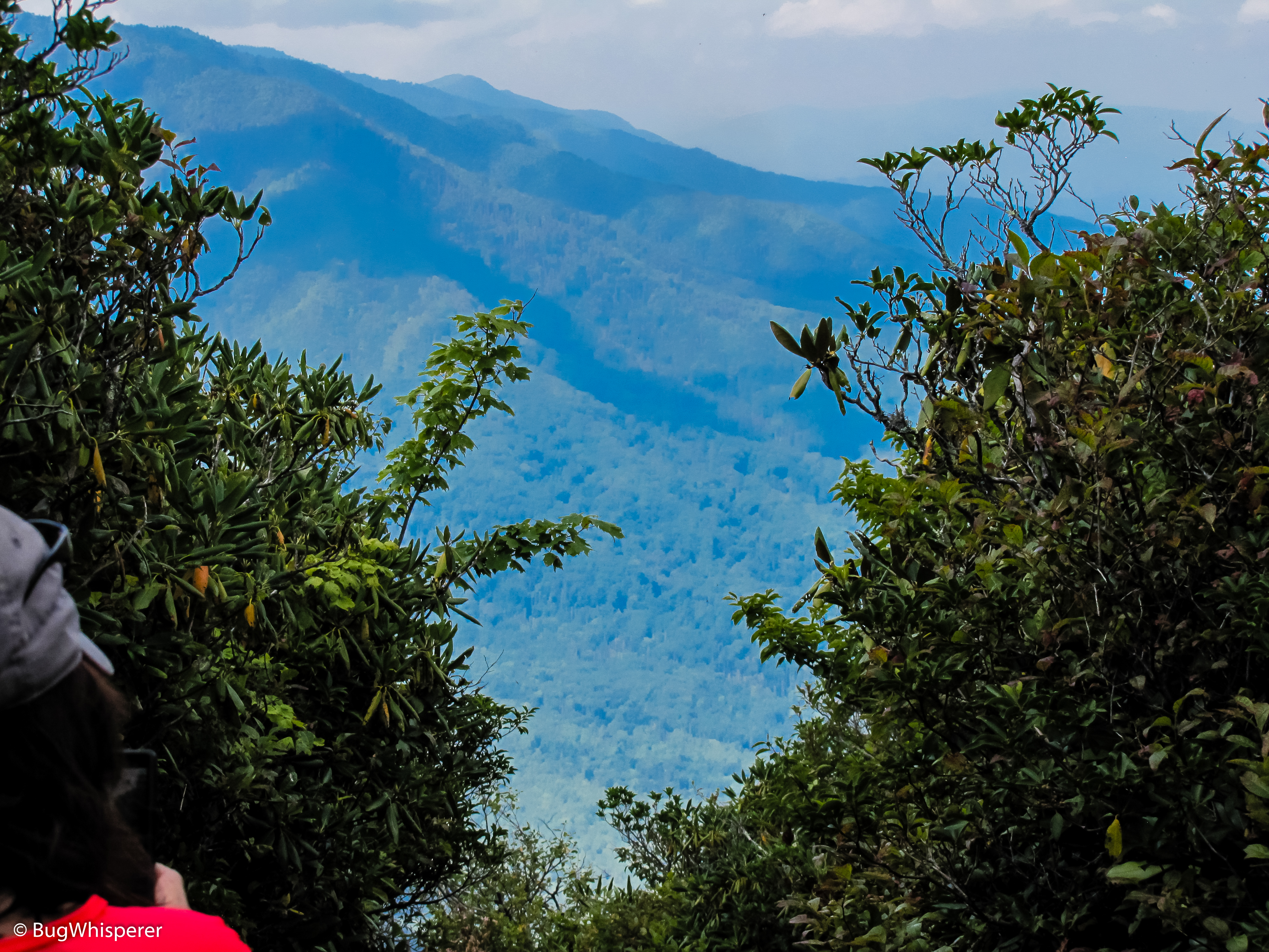
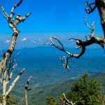
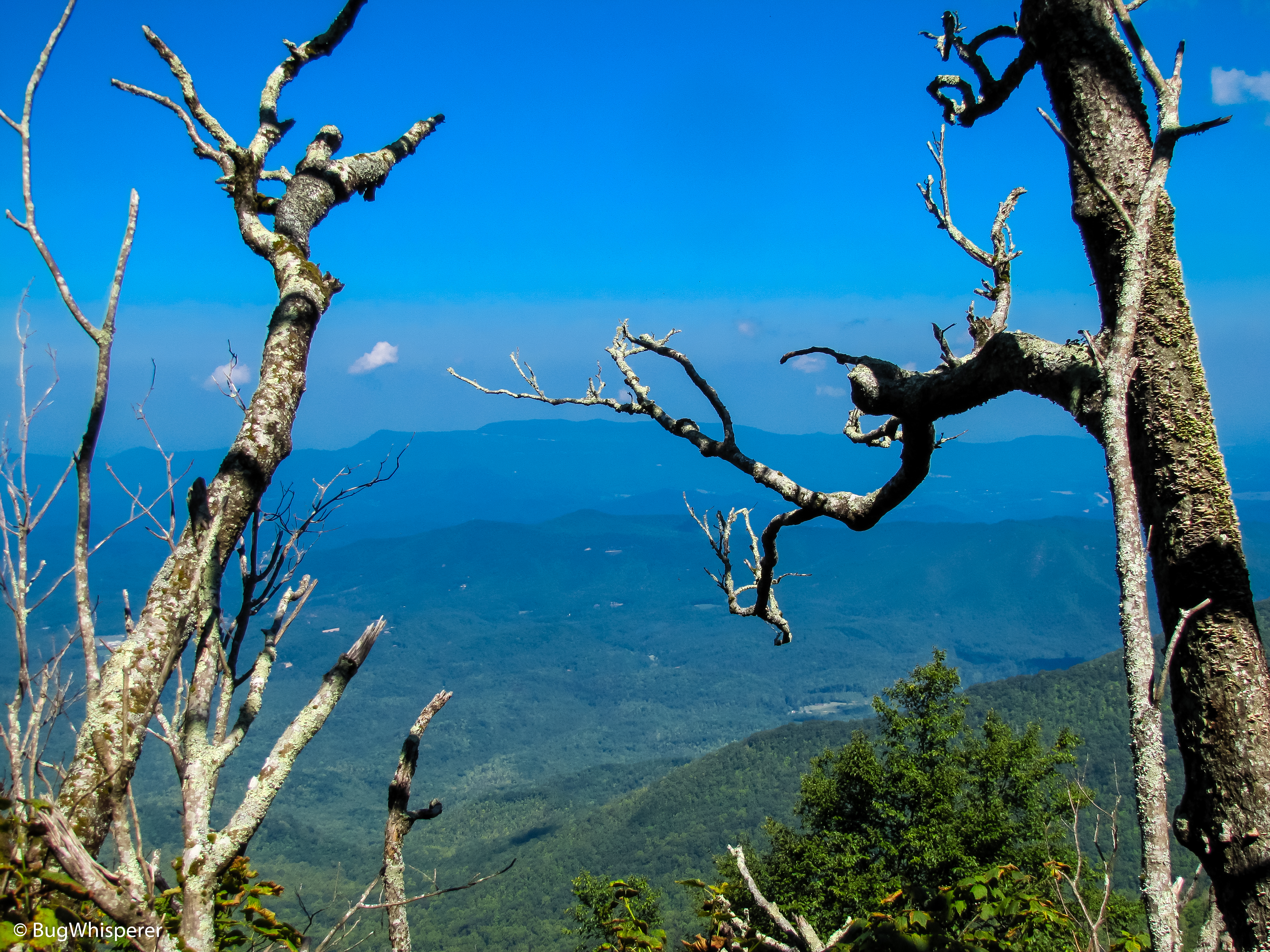
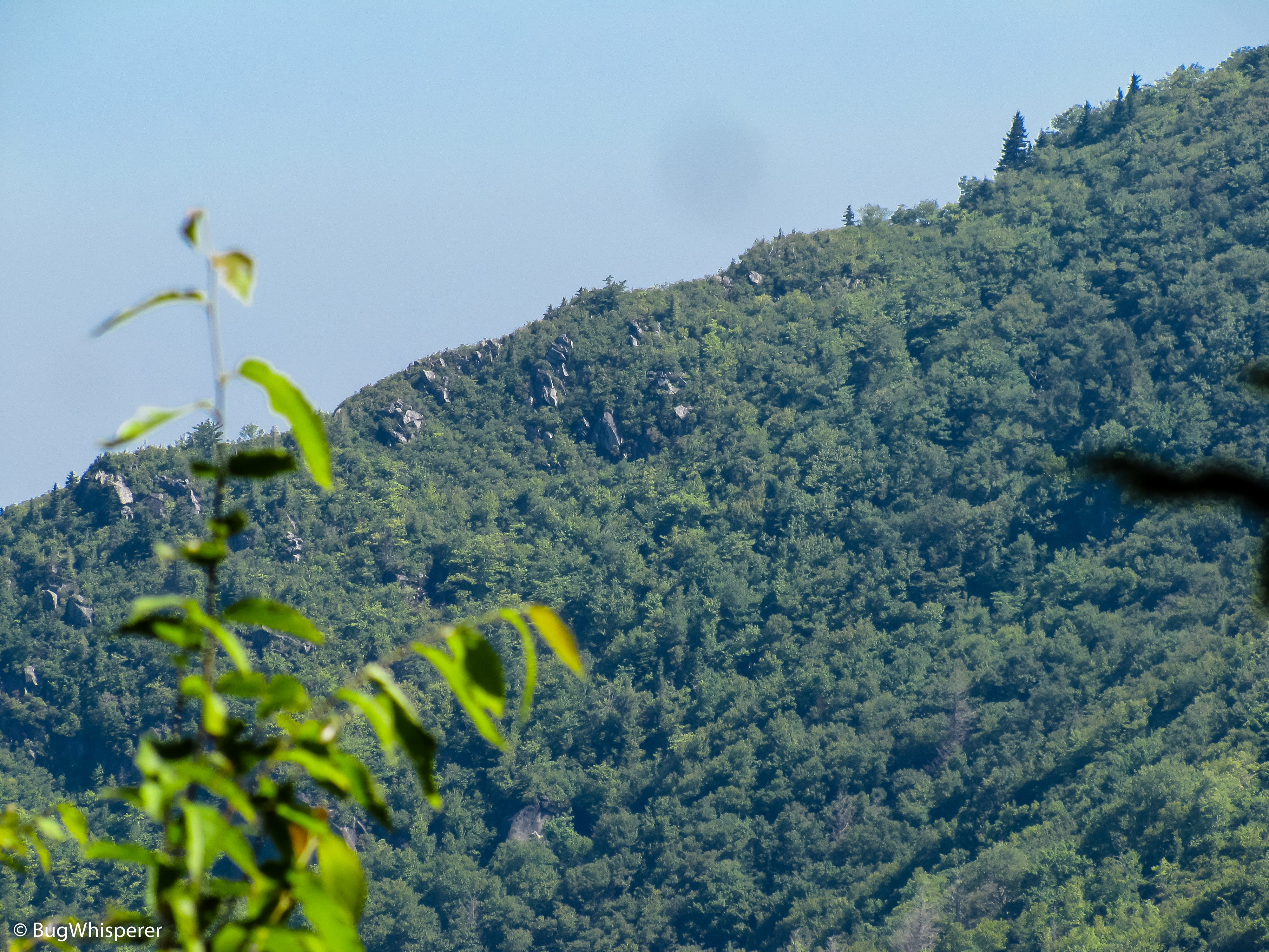
Mount Cammerer Spur Trail: This trail is a short out and back that brings you to the Mt Cammerer Fire Tower. There is a little rock scramble and no trail markers, so stay alert and watch your step. The views on top are some the best in the park. You can enjoy a 360 degree view of the park. On clear day you can view multiple mountain ranges!
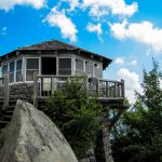
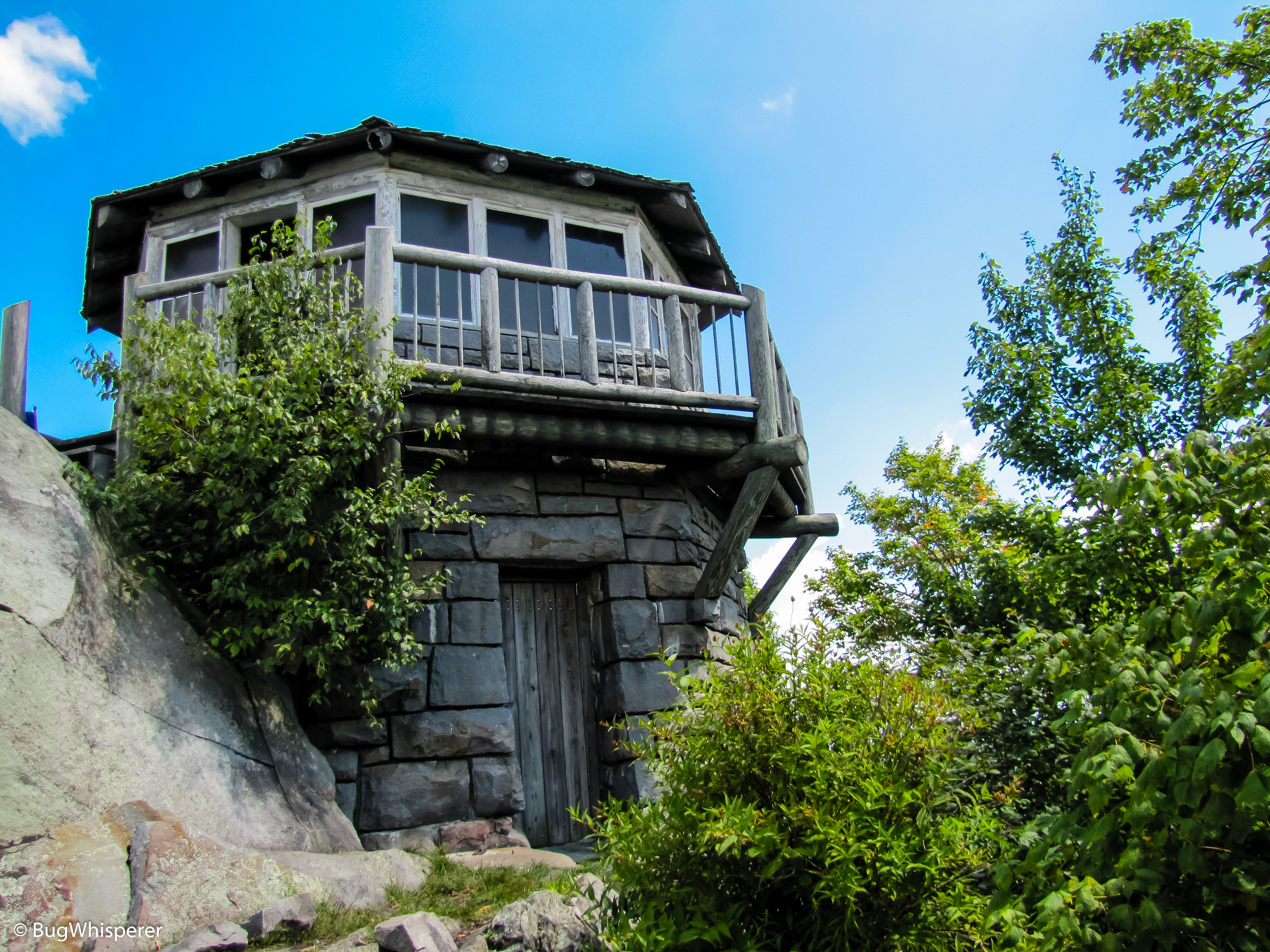
The octagonal fire lookout atop the summit of Mt. Cammerer was built by local laborers and the Civilian Conservation Corp in the late 1930s. The men who built the lookout drilled and blocked the stone from a quarry only one hundred yards downhill from the tower. Some of these stones weighed as much as 600 pounds!
The architectural style used for the lookout was called “western” because it didn’t require a raised structure to see above the trees.
Between February 15th and May 15th, and then again from October 15th through December 15th, the structure was manned by lookouts who lived on the premises on two-week tours. This lookout was operated until the 1960s when modern fire detection methods were able to replace it.
Midlife Hikers Maps and Tracks
| GPX Track File | Mt Cammerer Dayhike Adventure TRACK 1 file(s) 191.46 KB
|
| Official Park Map | Great Smoky Mountains Trail Map 1 file(s) 1.20 MB
|
Waypoints & Points of Interest
| Low Gap Trailhead | N35° 45.354′ W83° 12.457′ – Google |
| Appalachian Trail Junction | N35° 44.243′ W83° 10.873′ – Google |
| Mt Cammerer Spur Trailhead | N35° 45.427′ W83° 09.916′ – Google |
| Mt Cammerer Fire Tower | N35° 45.810′ W83° 09.682′ – Google |
Nearby Junctions, Trails or Trips
Nearby trails and junctions include only trails that have been hiked and reviewed by Midlife Hiking Club.
| Appalachian Trail @ Low Gap Trail Junction |
| Low Gap Trail |
| Mount Cammerer Spur Trail |
Midlife Hikers Comments
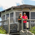
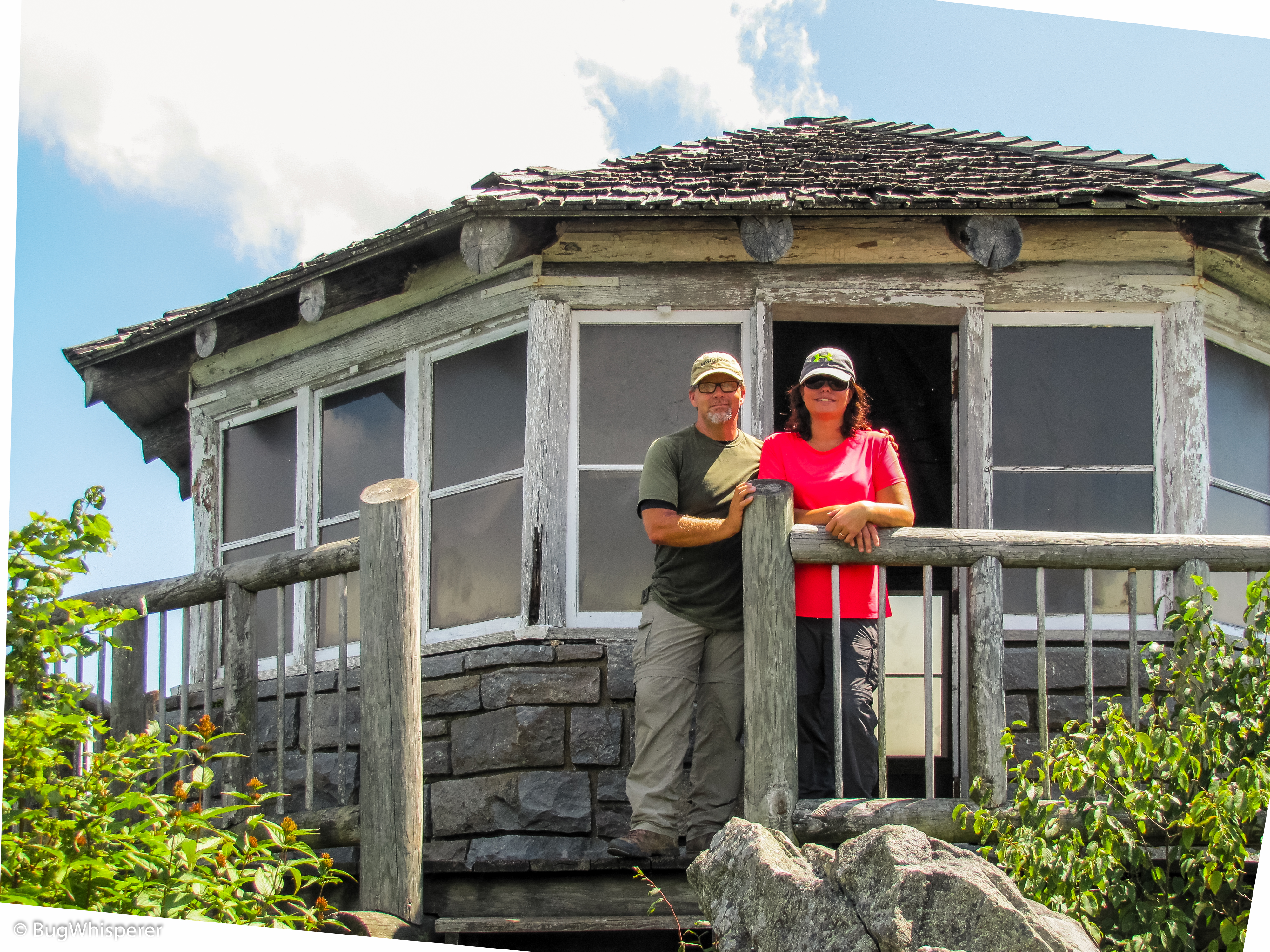
Best views in the Great Smoky Mountains! – BugWhisperer
One of the toughest hikes in the Smokies! – Snake Stepper
Midlife Hikers Video Review
Midlife Hikers Gallery
-
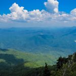
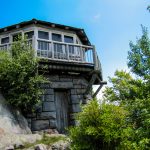
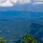
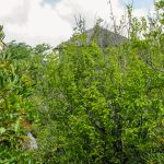
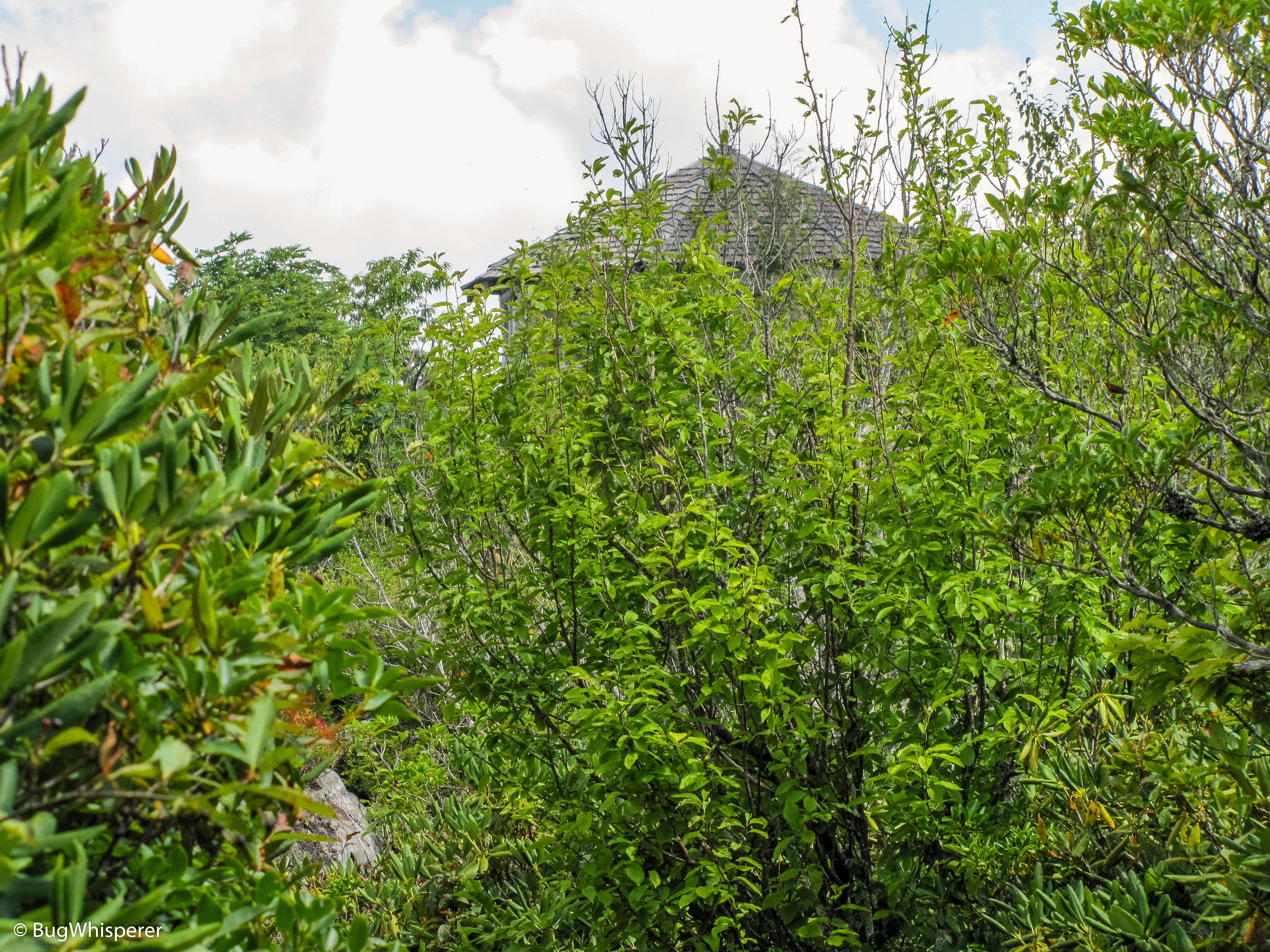
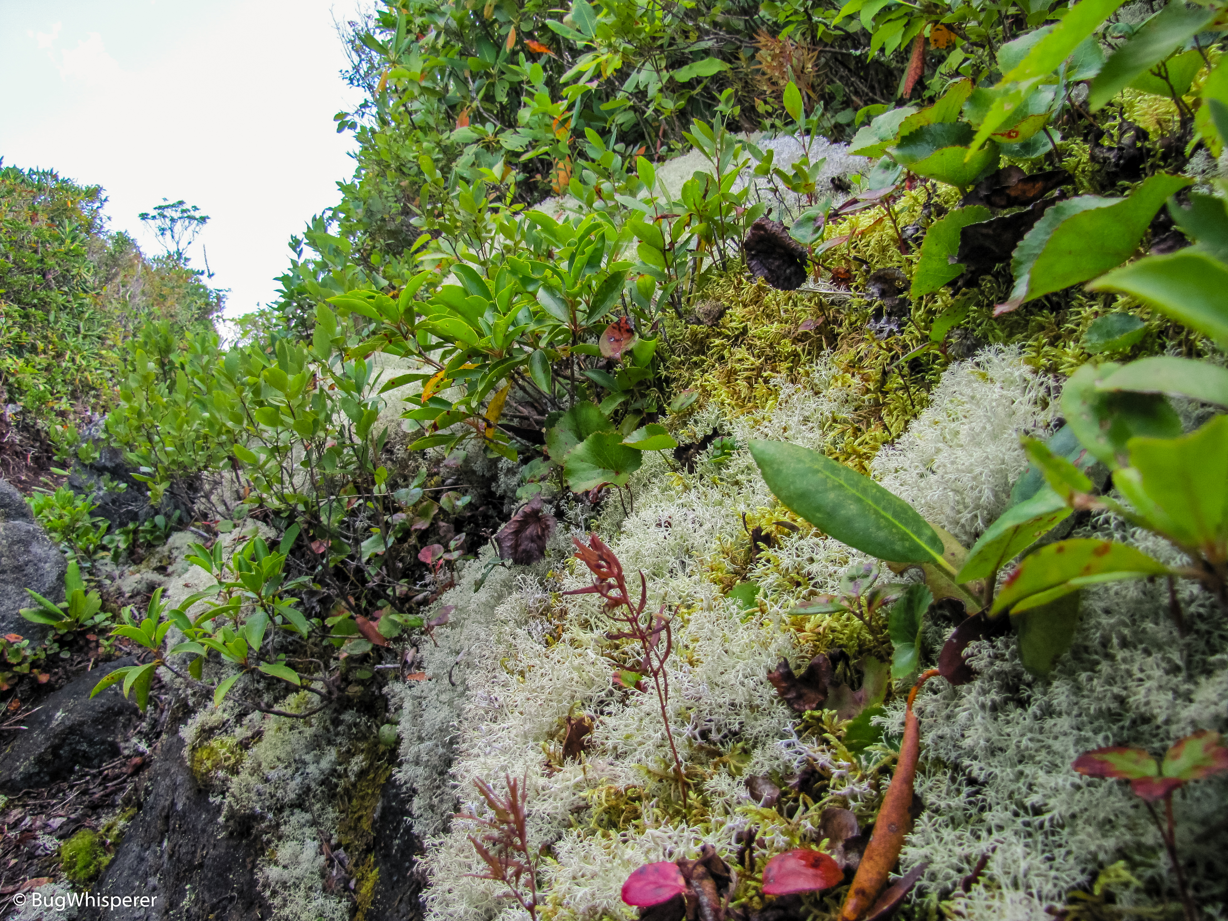
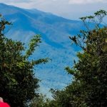
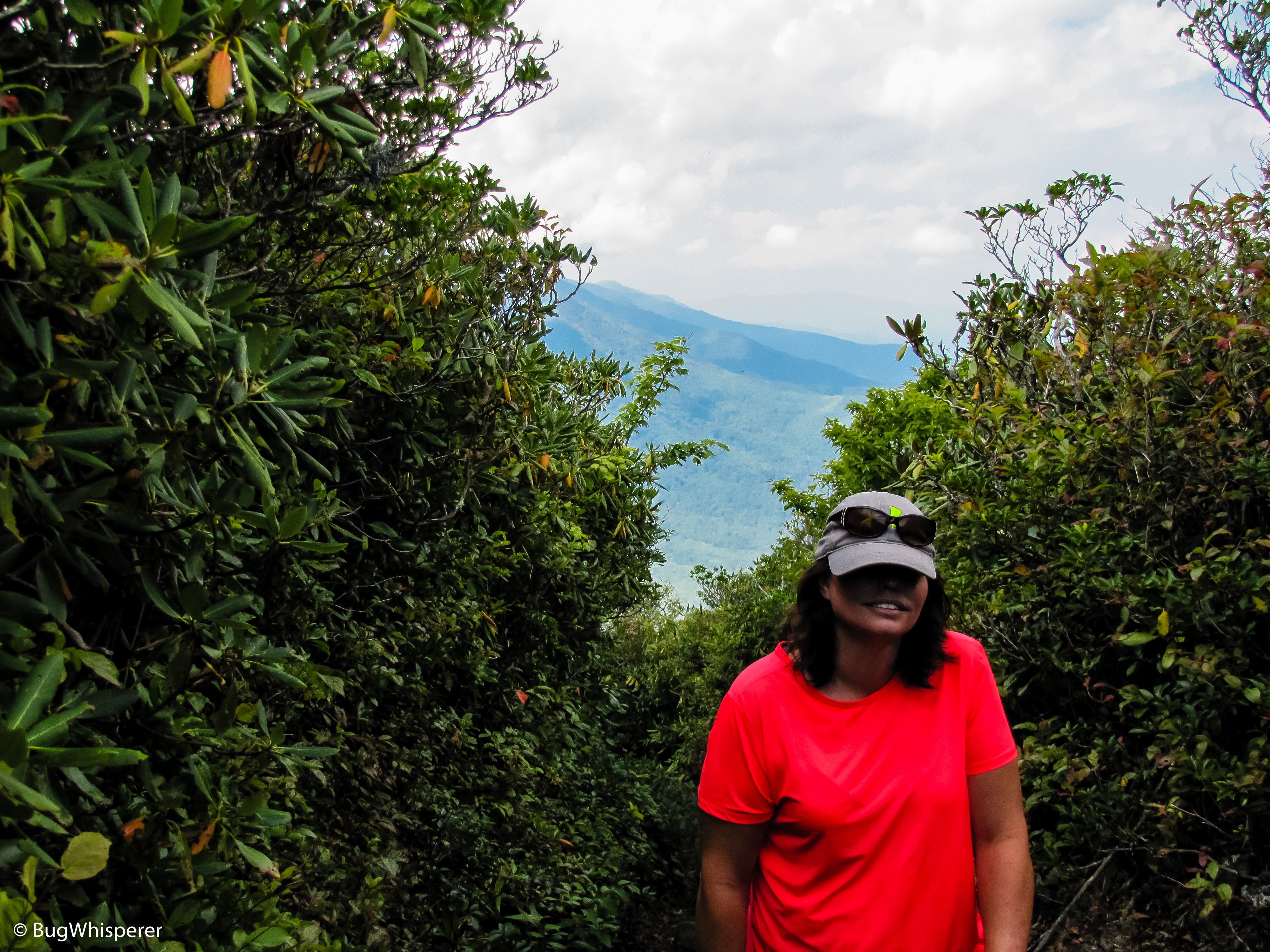
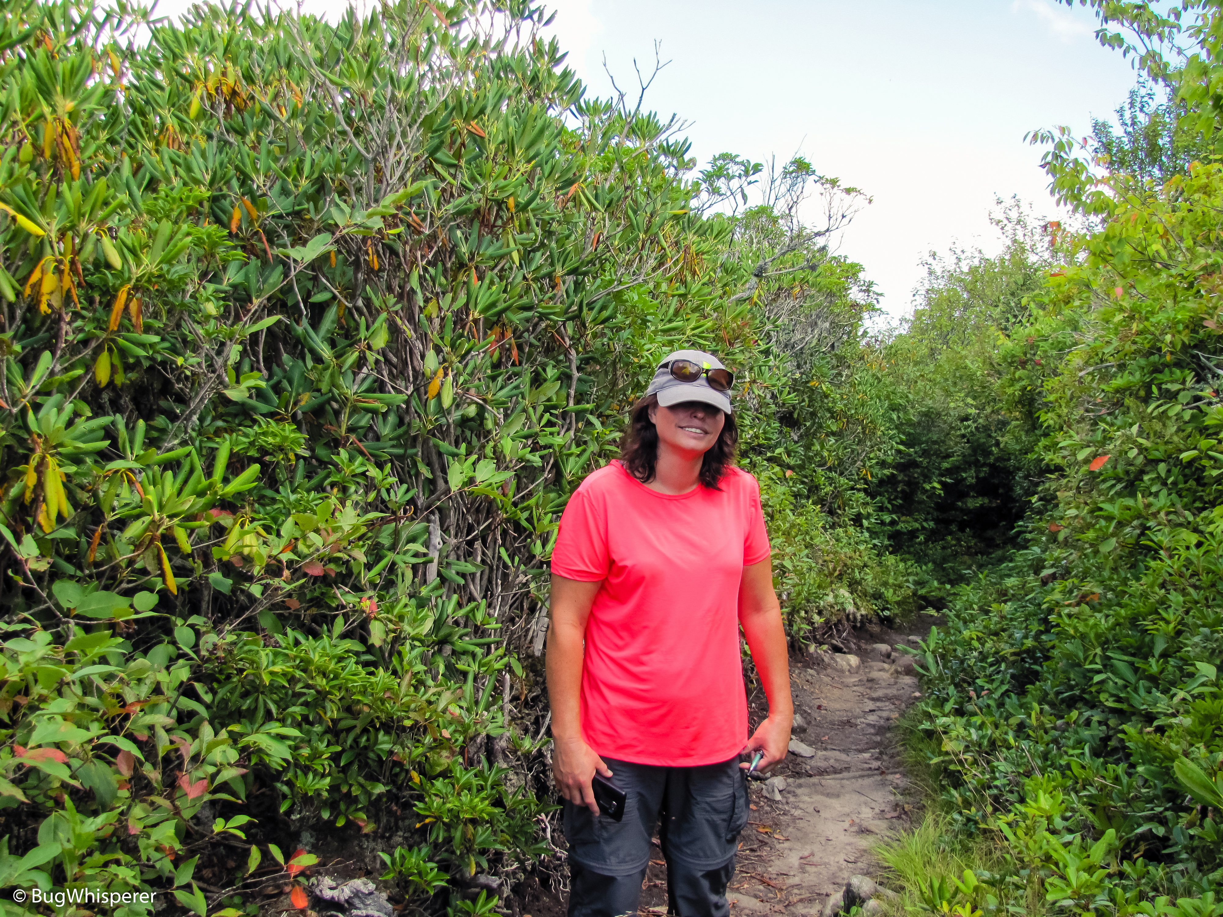
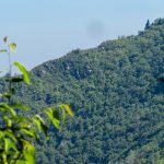
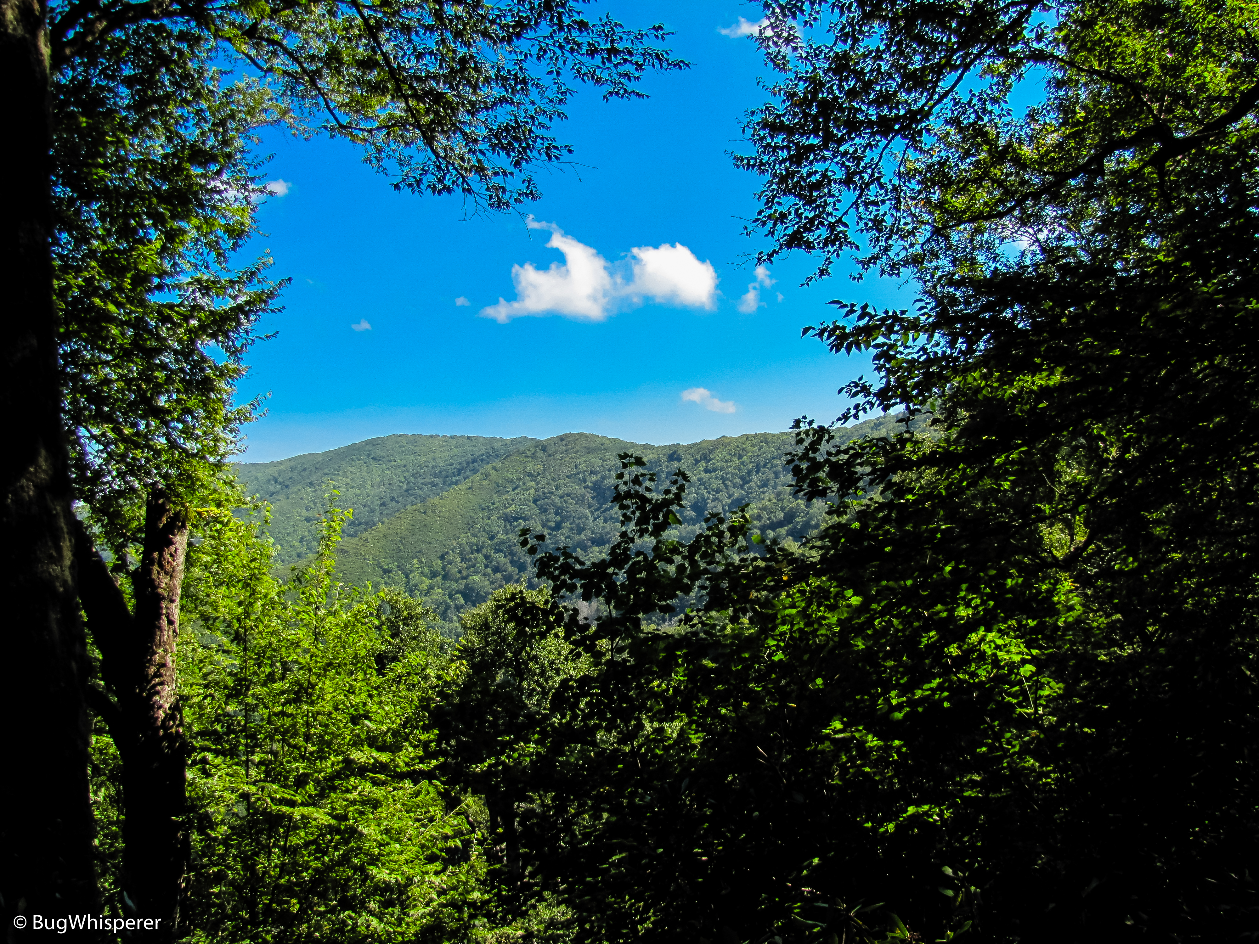
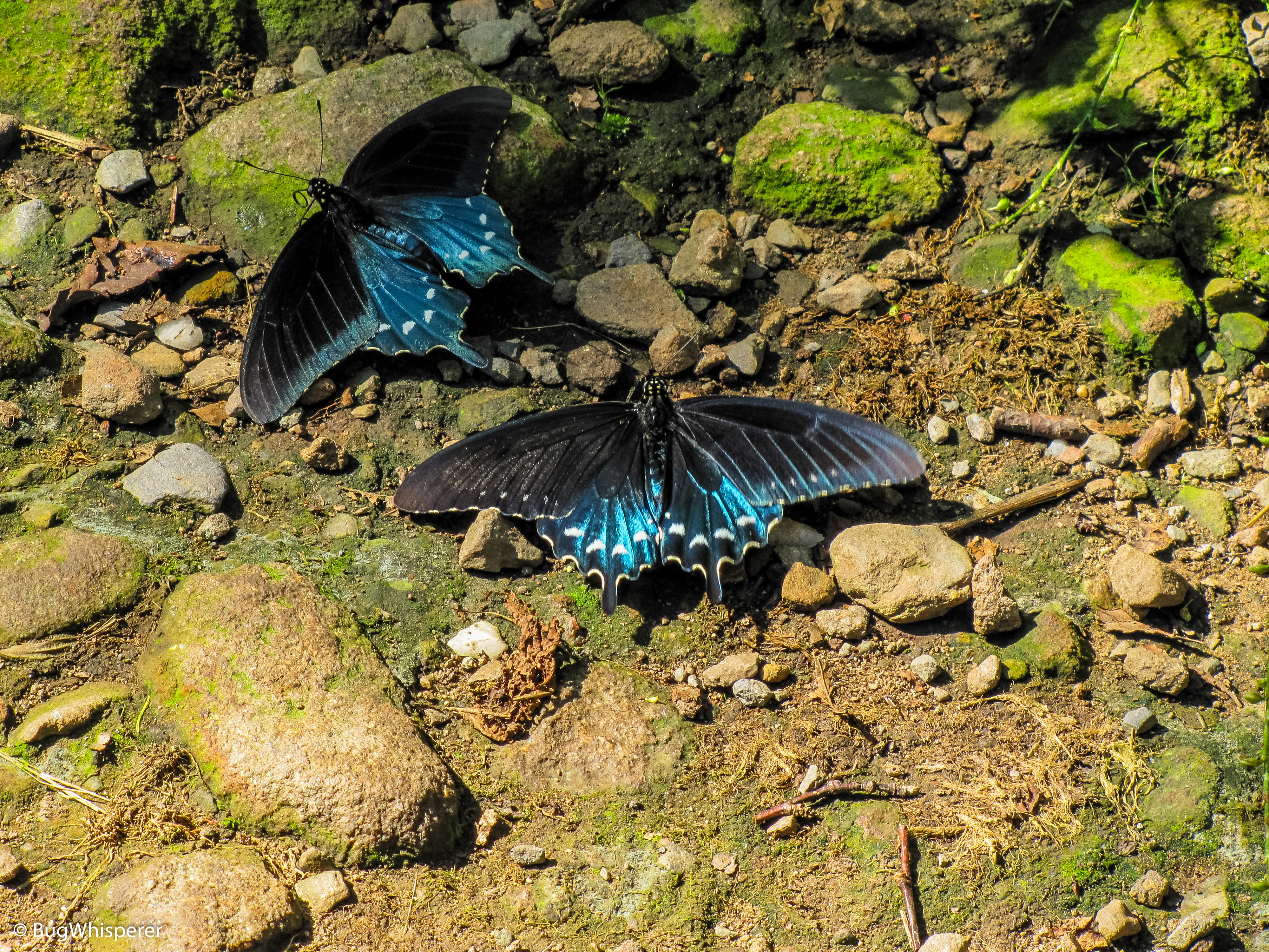
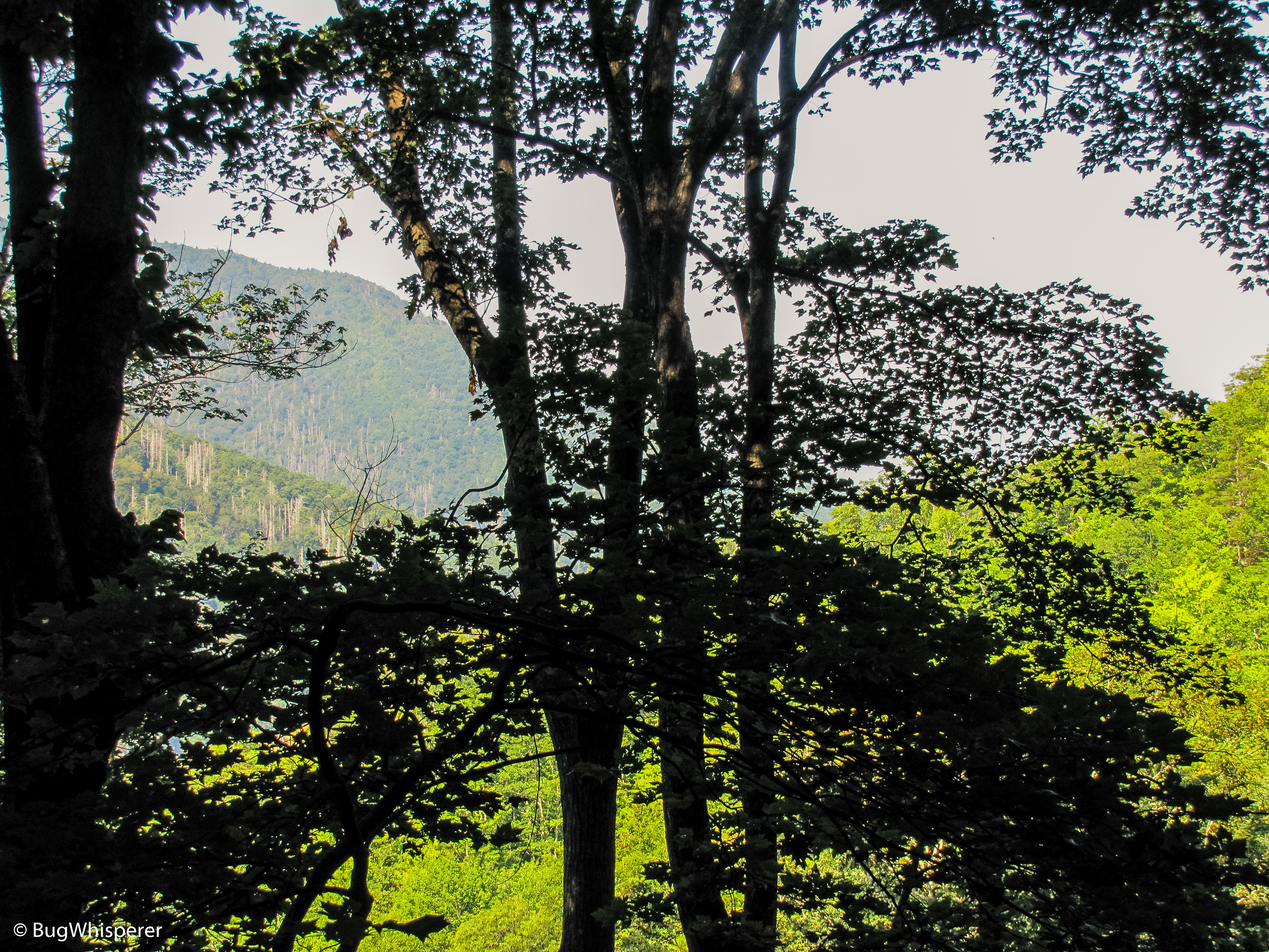
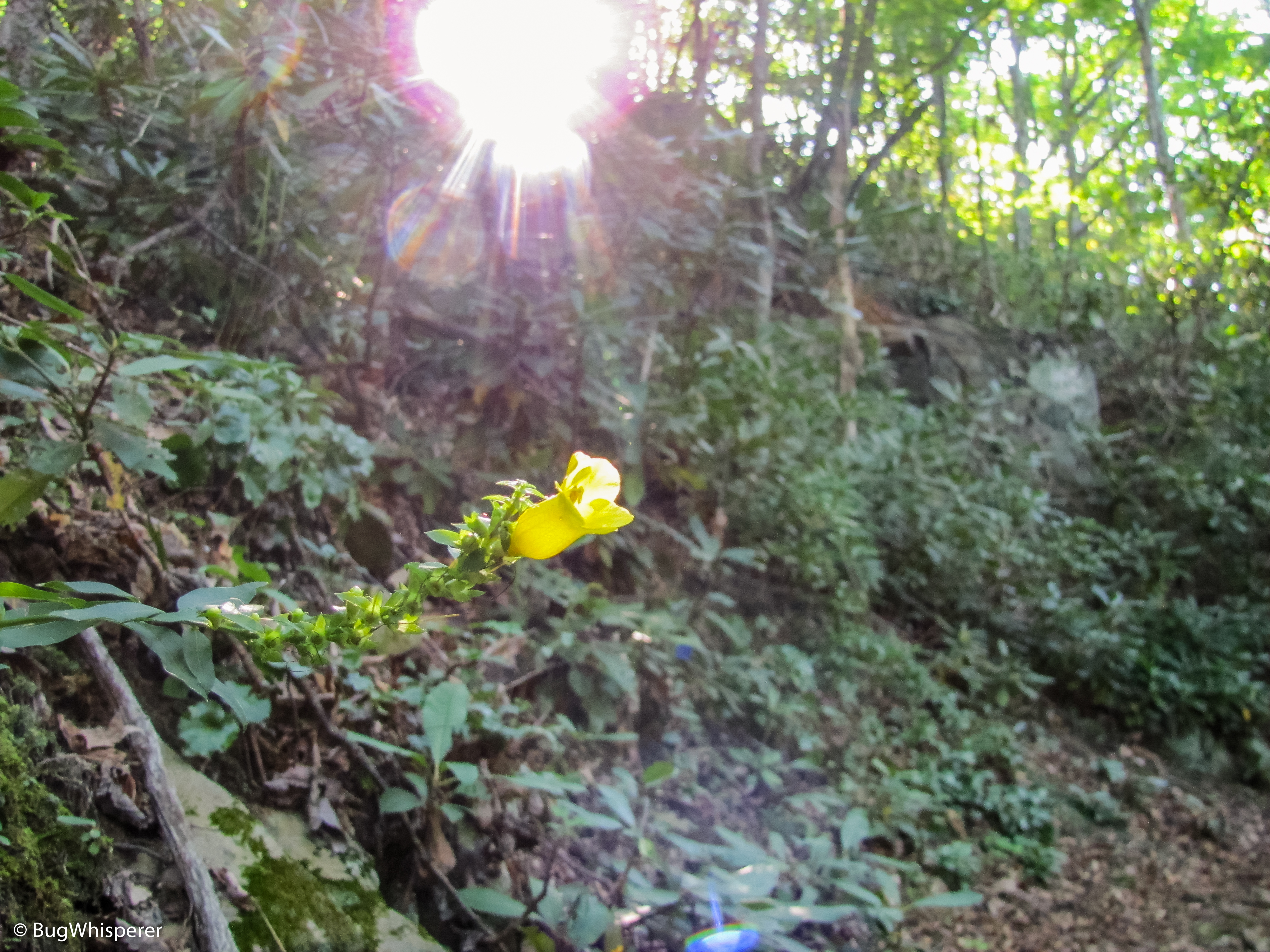
- Mt Cammerer, Cosby, Tennessee in the Great Smoky Mountains National Park
-
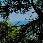
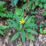
- Mt Cammerer, Cosby, Tennessee in the Great Smoky Mountains National Park
-
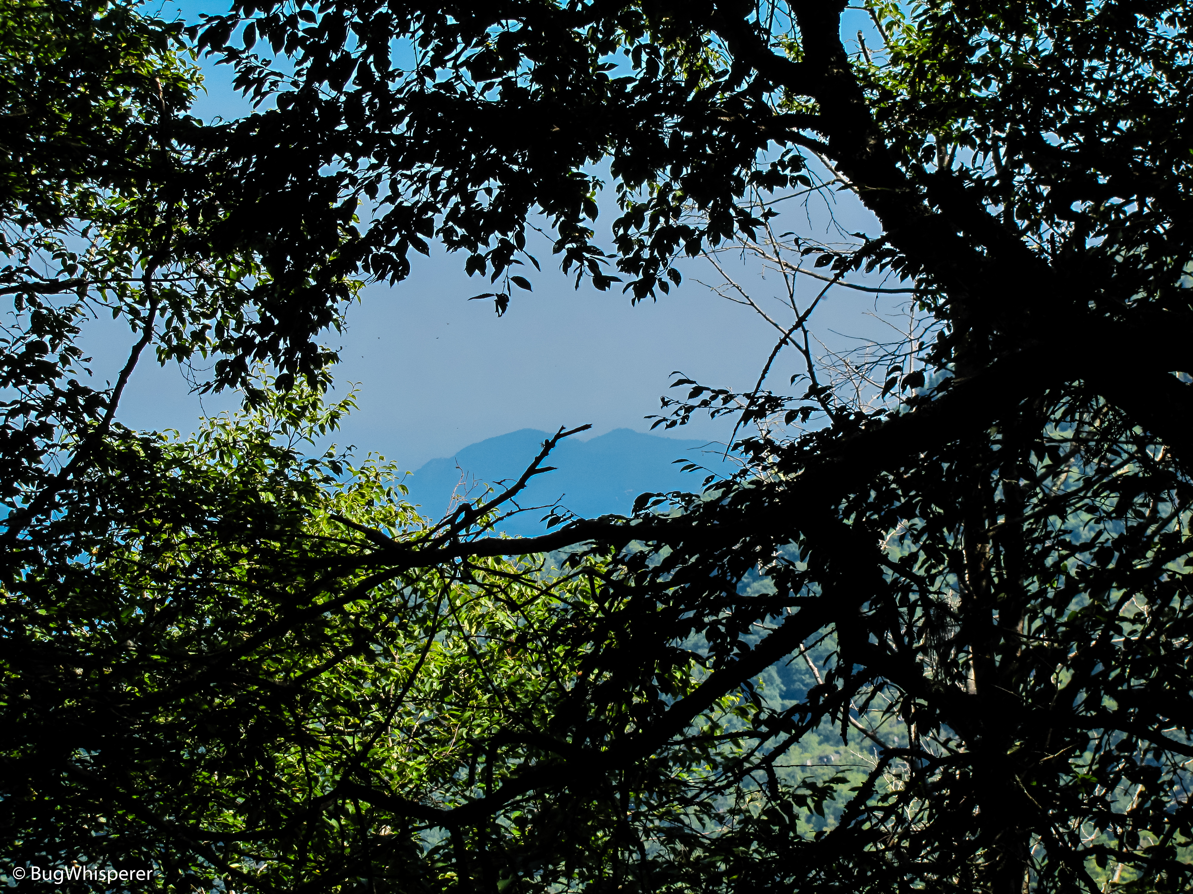
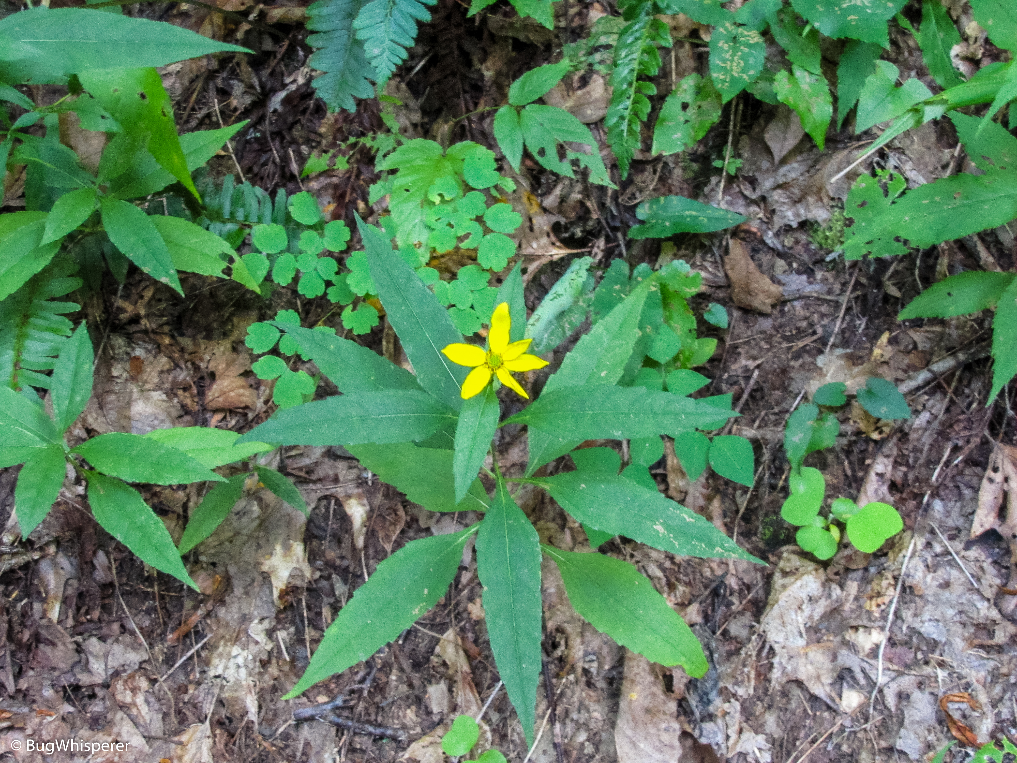
- Mt Cammerer, Cosby, Tennessee in the Great Smoky Mountains National Park
-
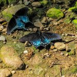
- Mt Cammerer, Cosby, Tennessee in the Great Smoky Mountains National Park
-
- Mt Cammerer, Cosby, Tennessee in the Great Smoky Mountains National Park
-
- Mt Cammerer, Cosby, Tennessee in the Great Smoky Mountains National Park
-
- Mt Cammerer, Cosby, Tennessee in the Great Smoky Mountains National Park
-
- Mt Cammerer, Cosby, Tennessee in the Great Smoky Mountains National Park

-
- Mt Cammerer, Cosby, Tennessee in the Great Smoky Mountains National Park
-
- Mt Cammerer, Cosby, Tennessee in the Great Smoky Mountains National Park
-
- Mt Cammerer, Cosby, Tennessee in the Great Smoky Mountains National Park
-

- Mt Cammerer, Cosby, Tennessee in the Great Smoky Mountains National Park
-
- Mt Cammerer, Cosby, Tennessee in the Great Smoky Mountains National Park
-
- Mt Cammerer, Cosby, Tennessee in the Great Smoky Mountains National Park
-

- Mt Cammerer, Cosby, Tennessee in the Great Smoky Mountains National Park
-
- Mt Cammerer, Cosby, Tennessee in the Great Smoky Mountains National Park
-
- Mt Cammerer, Cosby, Tennessee in the Great Smoky Mountains National Park
-
- Mt Cammerer, Cosby, Tennessee in the Great Smoky Mountains National Park
-
- Mt Cammerer, Cosby, Tennessee in the Great Smoky Mountains National Park
-

- Mt Cammerer, Cosby, Tennessee in the Great Smoky Mountains National Park
-
- Mt Cammerer, Cosby, Tennessee in the Great Smoky Mountains National Park
-
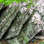
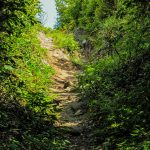
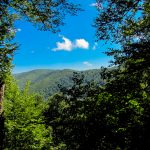
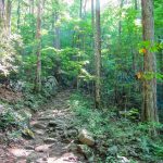
- Appalachian Trail @ Low Gap Trail to Mt Cammerer Spur Trail
-
- Appalachian Trail @ Low Gap Trail to Mt Cammerer Spur Trail
-
- Appalachian Trail @ Low Gap Trail to Mt Cammerer Spur Trail
-
- Appalachian Trail @ Low Gap Trail to Mt Cammerer Spur Trail
-
- Appalachian Trail @ Low Gap Trail to Mt Cammerer Spur Trail
-
- Appalachian Trail @ Low Gap Trail to Mt Cammerer Spur Trail
-
- Appalachian Trail @ Low Gap Trail to Mt Cammerer Spur Trail
-

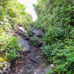
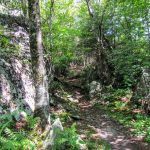
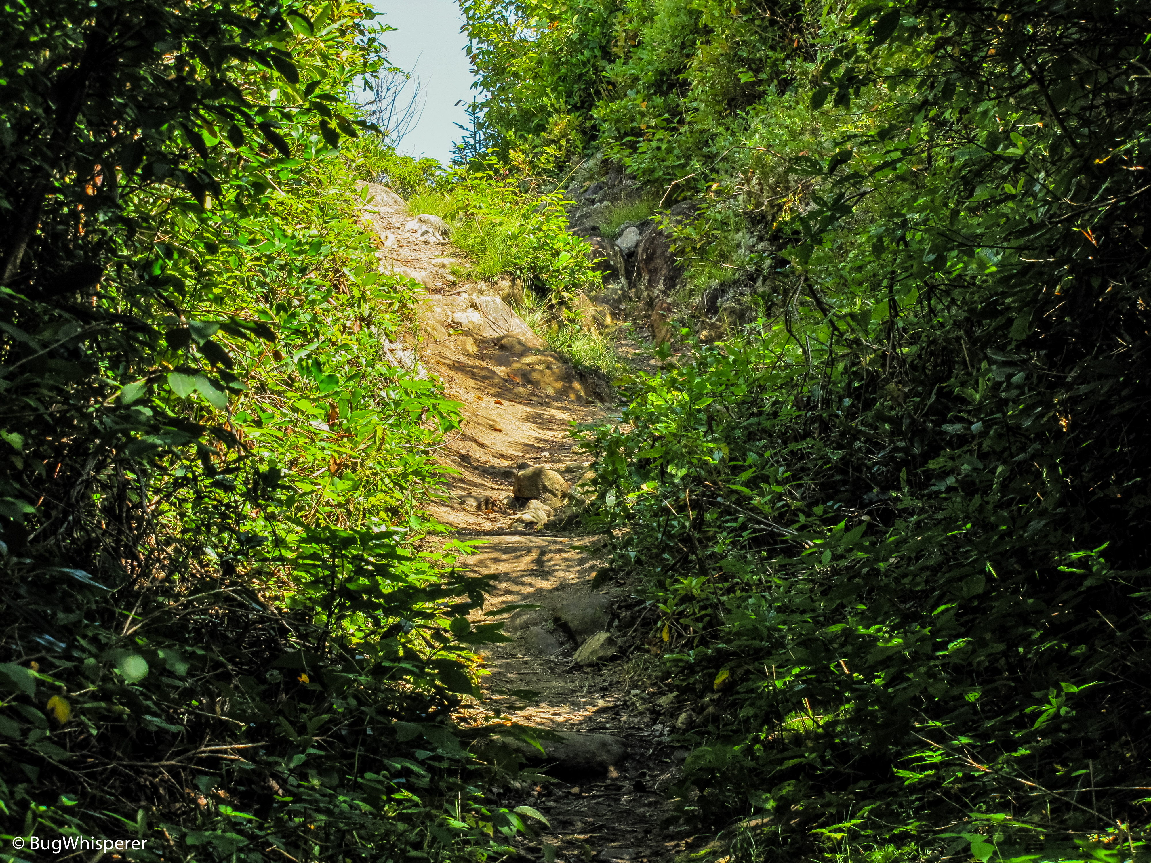
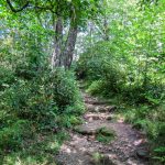
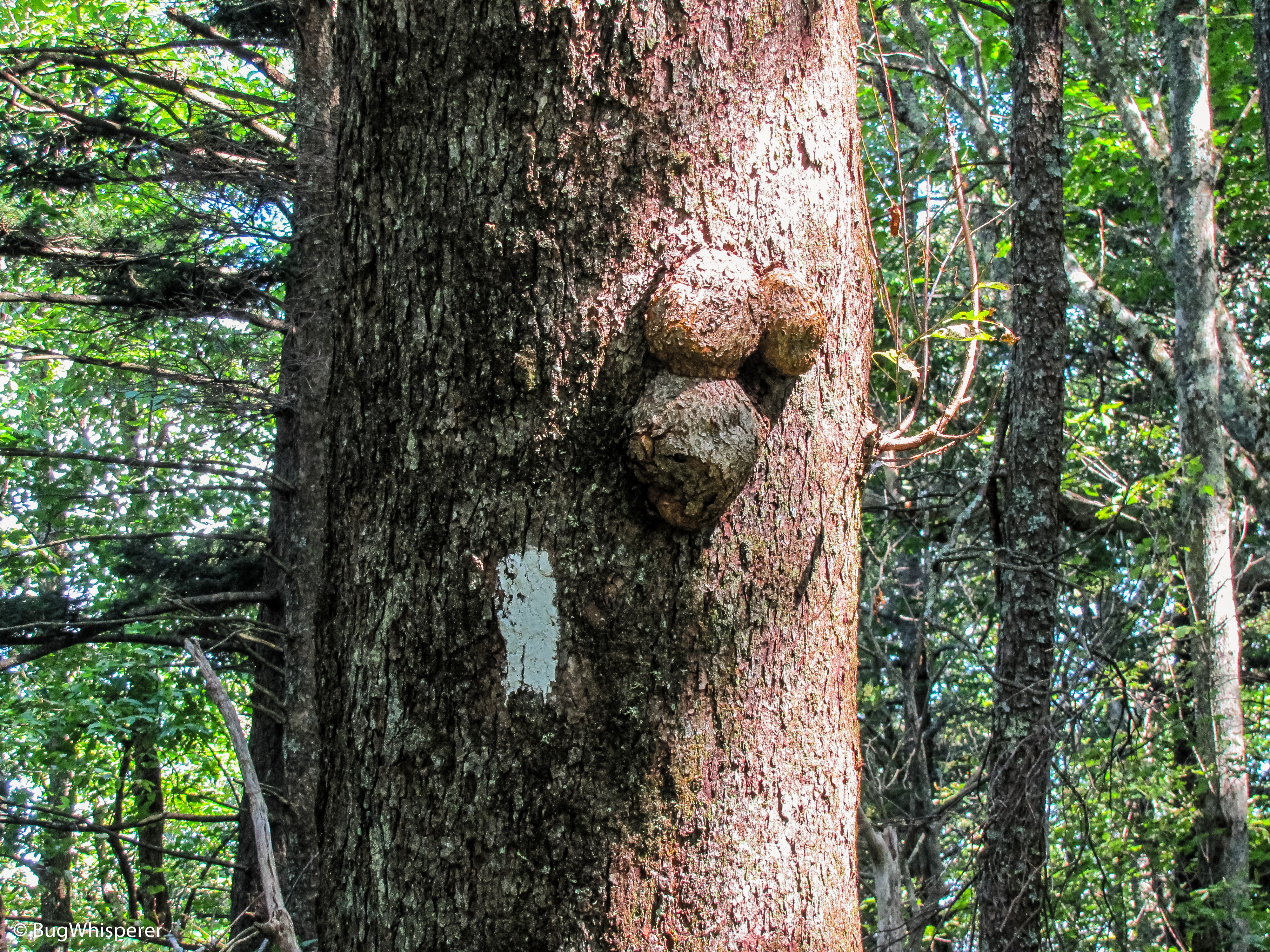
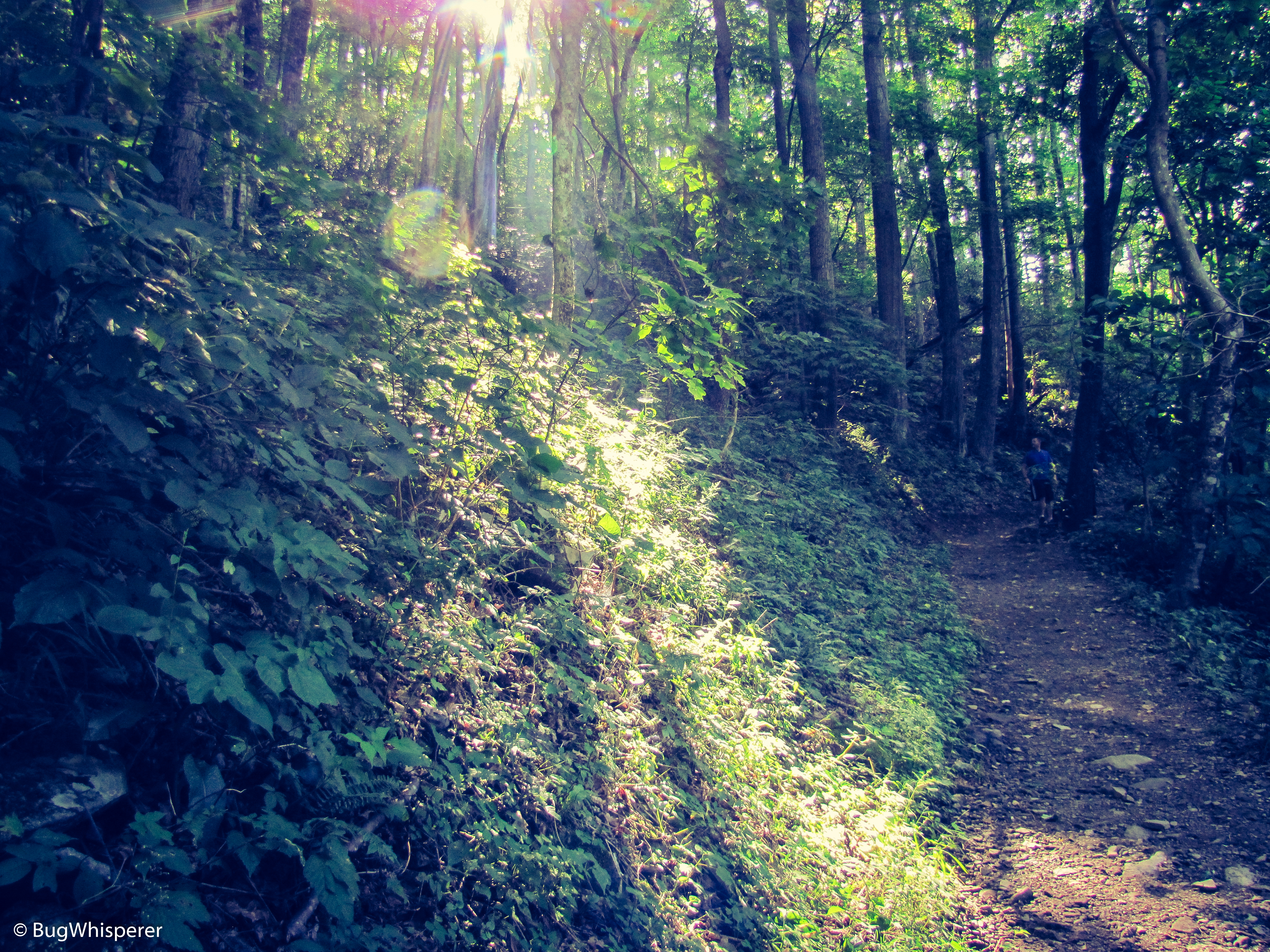
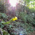
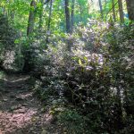
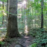
- Low Gap Trail – Great Smoky Mountains National Park, Cosby, TN
-

- Low Gap Trail – Great Smoky Mountains National Park, Cosby, TN
-
- Low Gap Trail – Great Smoky Mountains National Park, Cosby, TN
-
- Low Gap Trail – Great Smoky Mountains National Park, Cosby, TN
-
- Low Gap Trail – Great Smoky Mountains National Park, Cosby, TN
-
- Low Gap Trail – Great Smoky Mountains National Park, Cosby, TN
-
- Low Gap Trail – Great Smoky Mountains National Park, Cosby, TN
-

- Low Gap Trail – Great Smoky Mountains National Park, Cosby, TN
-
- Low Gap Trail – Great Smoky Mountains National Park, Cosby, TN
-
- Low Gap Trail – Great Smoky Mountains National Park, Cosby, TN
-
- Low Gap Trail – Great Smoky Mountains National Park, Cosby, TN
-
- Low Gap Trail – Great Smoky Mountains National Park, Cosby, TN
Pingback: Fall Hiking Colors – Great Smoky Mountains – Midlife Hiking Club