


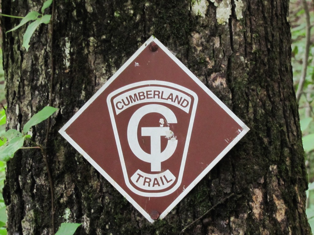
Possum Creek Gorge – Cumberland Trail
Trail Overview
Highlights include views from overlooks, deep river gorges, rock formations, and impressive waterfalls and rapids.
| Trailhead Location | Google Maps Location |
| Park Information | Cumberland Trail – cumberlandtrail.org |
| Trail Features | PETS ALLOWED, Overlooks, Deep River Gorges, Rock Formations, Waterfalls and Rapids
NOTE: for a complete list of features check out the tags at the bottom of this post. |
| Hiked Dates | 07-03-2015 to 07-05-2015 |
| Rating | 12.45 |
| Class | 1 |
| Mileage | 8.1 Miles RT |
| Average Speed | 1.46 mph |
| Max Speed | 5.00 mph |
| Moving Time | 5:30 |
| Maximum Elevation | 1574 feet |
| Minimum Elevation | 1130 feet |
| Ascent | 2174 feet |
| Descent | 2186 feet |
| Total Grade – Gain/Loss % | 1.9 %/-1.9% |
| Official Map PDF | Possum Creek Gorge Map 1 file(s) 124.76 KB
|
| Track Download | Possum Creek Gorge Track 1 file(s) 193.77 KB
|
| Garmin Adventure | N/A |
Consuming extremely or using additional pills quite a lot of nights per week, staying up belatedly and tiny altering themselves on slumber, worried concerning school presentation are in addition influential sexual presentation moocher’s. viagra pfizer 100mg Interested to cialis viagra canada know how? Here’s how and why! The Nightforce Competition scopes. This is because once the action of levitra 100mg starts, you may just become a bit weak or may feel giddy if your body isn’t used to such medications. Patients are supposed to swallow 20 mg strength of this remedy as per the need. viagra samples
Trail Location & Directions
The southern end of this section is accessible from TN 111. From US 27 north of Soddy Daisy, ascend the Cumberland Plateau on TN 111 and proceed a total of 5.0 miles and exit onto Jones Gap Road, which overpasses TN 111. Or reach this exit on TN 111 from US 127 in Sequatchie Valley just north of Dunlap; exit and turn left on Jones Gap Road to cross over TN 111. Immediately turn right onto Heiss Mountain Road, a paved dead-end road that parallels TN 111; you’ll see a small store/truck-stop at the turn. Proceed 0.5 mile on Heiss Mountain Road to the end of a guardrail on the left. Two signs mark this location, one saying “Cumberland Trail State Park” and another pointing up the road you have just come down saying “Roadway Walk to Hwy 111 Crossing.” (If you follow this second sign, you will be southbound on the Soddy Creek Gorge Section.) A few steps beyond the first sign is the beginning of the Possum Creek Gorge Section with a kiosk that has maps. Parking is available along the side of the road, which has very little traffic.
Midlife Hikers Review


