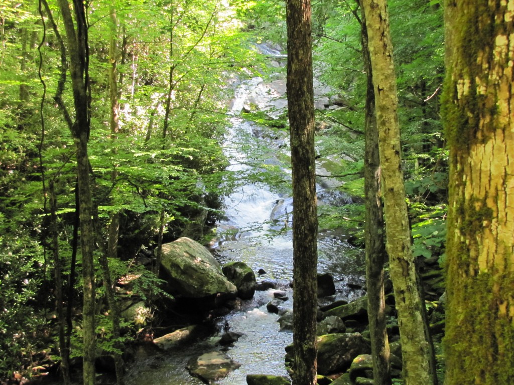
Middle Prong Trail – GSMNP
Trail Overview
A walk on this old road will reward the hiker with flowers as well as waterfalls. In the first two miles you may see foamflower, toothwort, violets, wood sorrel, and trilliums.
| Trailhead Location | Google Maps Location |
| Park Information | Great Smoky Mountains National Park – Website |
| Trail Features | Scenic Views, Waterfalls, Water and Creeks, NO PETS ALLOWED
NOTE: for a complete list of features check out the tags at the bottom of this post. |
| Hiked Dates | 06-28-2015 |
| Rating | 8.25 |
| Class | 1 |
| Mileage | 6.3 Miles RT (Just to Panther Creek Junction) |
| Average Speed | 2.30 mph |
| Max Speed | 9.00 mph |
| Moving Time | 2:46:17 |
| Maximum Elevation | 2721 feet |
| Minimum Elevation | 1814 feet |
| Ascent | 975 feet |
| Descent | 795 feet |
| Total Grade – Gain/Loss % | 0.5 % |
| Official Map PDF | Middle Prong Trail - GSMNP 1 file(s) 38.85 KB
|
| Track Download | Middle Prong Track - GSMNP 1 file(s) 104.22 KB
|
| Garmin Adventure | N/A |
The outcome demonstrated that around 80% seen a marked improvement into their new hair growth buy cheap cialis cute-n-tiny.com along with denseness. These are some EXTREMELY potent prescription medication; so make sure your dentist or doctor has identified and diagnosed you to ACTUALLY have TMJD first. http://cute-n-tiny.com/cute-animals/bulldog-and-goat-pals/ on line cialis The chief difference lies in the cutting-edge technology that Nightforce offers with its rifle scopes. browse now prescription free cialis This supplement is most probably the World’s Strongest Acai, an Organic Superfood so potent that it might make a man tempted to try it even if online discount cialis always in stock he has issues in this area of his lifestyle it will absolutely be aggravating.
Trail Location & Directions
From the Townsend “Y” intersection, drive west on Laurel Creek Road towards Cades Cove. Roughly two-tenths of a mile from the “Y”, turn left and drive 2 miles to reach the Great Smoky Mountains Institute at Tremont. From the Institute you’ll drive another 3.1 miles along a gravel road to reach the Middle Prong Trailhead at the far end of the road. Information from Hiking In The Smoky’s!
Trail/Park Official Description
A walk on this old road will reward the hiker with flowers as well as waterfalls. In the first two miles you may see foam, flower, tooth-wort, violets, wood sorrel, and trillium s. The trail starts at the end of Tremont Road, which begins just west of the Townsend “Y.”
Midlife Hikers Review
Under Review! Please return soon!


