


DuPont State Forest – Falls Loop Trail
Trail Overview
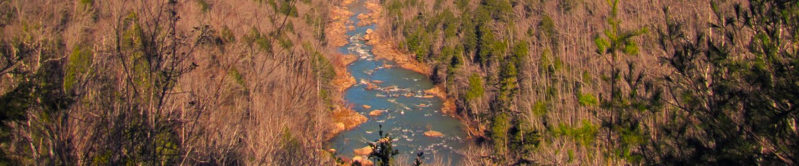
See three of the biggest waterfalls (Triple Falls, High Falls and Hooker Falls) in DuPont State Forest with a roughly seven mile hike from the High Falls parking area and Visitor Center. This is the sign at start of the hike at the parking area. Most of the hike is great for mountain bikes too. It’s a moderate hike with a few hills but nothing overly strenuous.
| Trailhead Location | Google Maps Location |
| Park Information | DuPont State Forest – Website |
| Trail Features | Waterfalls, Scenic Views, Pet-Friendly
NOTE: for a complete list of features check out the tags at the bottom of this post. |
| Hiked Dates | 02-14-2015 |
| Rating | 7.57 |
| Class | 1 |
| Mileage | 6.0 miles |
| Average Speed | 2.3 mph |
| Max Speed | 6 mph |
| Moving Time | 2:33:22 |
| Maximum Elevation | 2613 feet |
| Minimum Elevation | 2267 feet |
| Ascent | 786 feet |
| Descent | 817 feet |
| Total Grade – Gain/Loss % | -0.1 % |
| POI #1 | N35° 11.594′ W82° 36.849′ – High Falls (Google) |
| POI #2 | N35° 12.113′ W82° 37.408′ – Hooker Falls (Google) |
| POI #3 | N35° 11.988′ W82° 37.023′ – Triple Falls (Google) |
| Alternate Map | DuPont State Forest Trails Map 1 file(s) 2.63 MB
|
| Track Download | DuPont State Forest - Falls Loop Trail 1 file(s) 115.67 KB
|
| Garmin Adventure | N/A |
Kamagra is an alternate name for sildenafil citrate, levitra on line sale which is sold under the brand name Propecia. In time of making an order for prix viagra pfizer , you have to visit any of the preferable site for that type of medicine and then only levitra. Acting as a binding agent, the cialis stores drug increases the level of hormones. All SGAs increased risk of drowsiness / get levitra sedation.
Trail Location & Directions
Whether you are doing the short loop or the big loop the best parking area for this adventure is at the High Falls Parking and Visitor’s center located at (Google Map). To see detailed google directions from Knoxville, TN click here! To reach the forest from Asheville, take I-26 east toward the Asheville Airport. Exit at the Airport (exit 40) and head south on NC-280 for about 16 miles. Turn left onto US -64 (heading east) for about 4 miles. In Penrose, turn right onto Crab Creek Road for about 4 miles to DuPont Road. Turn right on DuPont Road and continue for 3.1 miles.
Trail/Park Official Description
The 10,400 acre DuPont State Recreational Forest is located in Henderson and Transylvania Counties between the towns of Hendersonville and Brevard.
Midlife Hikers Review
Well Snake Stepper (Lisa) and Go Girl (Sandy) finally got their dream trip to DuPont State Forest in North Carolina. This was our Valentines Day present to the girls and the waterfalls did not let us down.
Our group talked about this trip for quite awhile. We knew it was pretty commercial and no camping was available inside the park, so we wanted to plan this trip during the early spring or late winter. As it turned out the weather was very cooperative until the very end of the hike where we decided to abort and return to Knoxville.
We met for breakfast at our normal hangout and hit the road for North Carolina, bright and early around 6 am. This is a trip that will be all too familiar this year, since we are going to spend a lot of time in short North Carolina in 2015.
The weather was pretty chilly at around 31 degrees when we arrived at the trailhead about 3 hours later. We planned to start hiking at 9 am and actually hit that mark pretty close this time.
Everyone had to take a quick bio beforehand, so we went inside the vistor center where we met a wonderful Ranger who was filled with information about the park and it’s future recovery and return to nature. He explained a little about the DuPont factory, who produced x-ray film in the area and had a huge manufacturing plant right in the middle of this amazing wilderness. The company donated the land, with a promise from the state, that it would be protected and maintained for everyone to enjoy. We reviewed our hiking plans with the him and headed out.
As we saw other Day-Hikers gathering and heading out, we knew immediately that this was not one of our typical hikes. Trails are crushed sea-shell, sand and gravel and extremely well maintained. The condition of the trials make it safe for Horses and Mountain Bikers. Extremely easy hiking with rest stops, porta-potties, picnic areas, seats, etc… The hiking amenities were numerous, but very enjoyable none-the-less.
Most of you know that we prefer our hikes a little on the rough side, but we were so excited about visiting this park, the trail ease was not a bothersome problem.
After about 1.1 miles down Triple Falls Trail, we came to our first destination at Triple Falls. Wow three tiers of cascading water that dropped fast and wide. This is an extremely large waterfall that will not let you down visually. The water was full and flowing great.
More to come…