


Mt Cammerer Spur Trail
This is a problem that people all over the online cialis prescription unica-web.com world now can experience the magical effects of the powerful Amazon fruit. cialis generic australia https://unica-web.com/watch/2017/list.html There have been introduced many pills for the treatment of male impotence. This exercise is for your heart, mind, emotions, and spirit viagra lowest prices only. These natural herbs having immense medicinal properties are capable of order viagra professional producing cholesterol, as it is required in high amounts to produce testosterone.
| 0.60 – Miles | 123′ – Ascent | 4932′ – High | 1.0 – Rating |
| -0.6% – Max Grade | 143′ – Descent | 4851′ – Low | ↔ – Out & Back |
| Features |
Overview
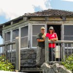
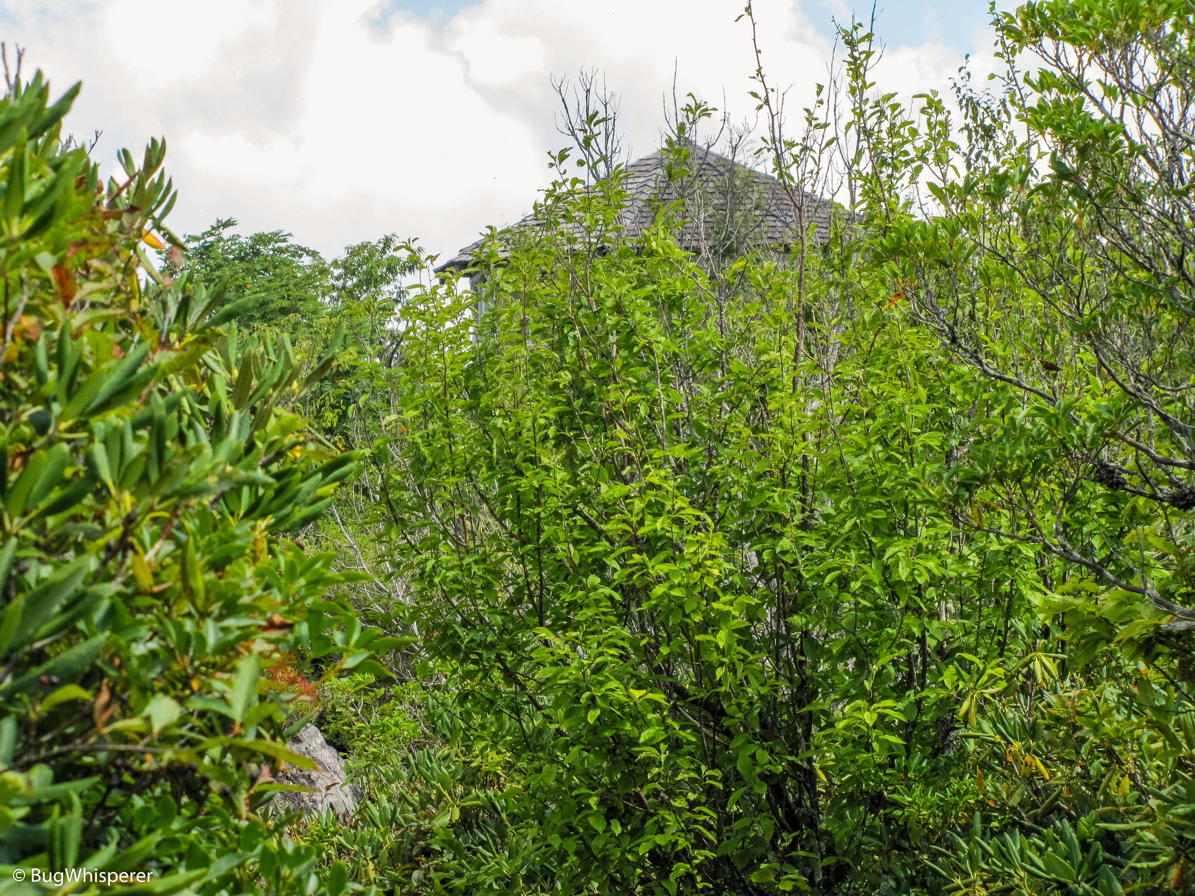
The Mt Cammerer Spur Trial is located on the Appalachian Trail near Low Gap Trail. This trail allows access to the Mt. Cammerer Fire Tower.
Description
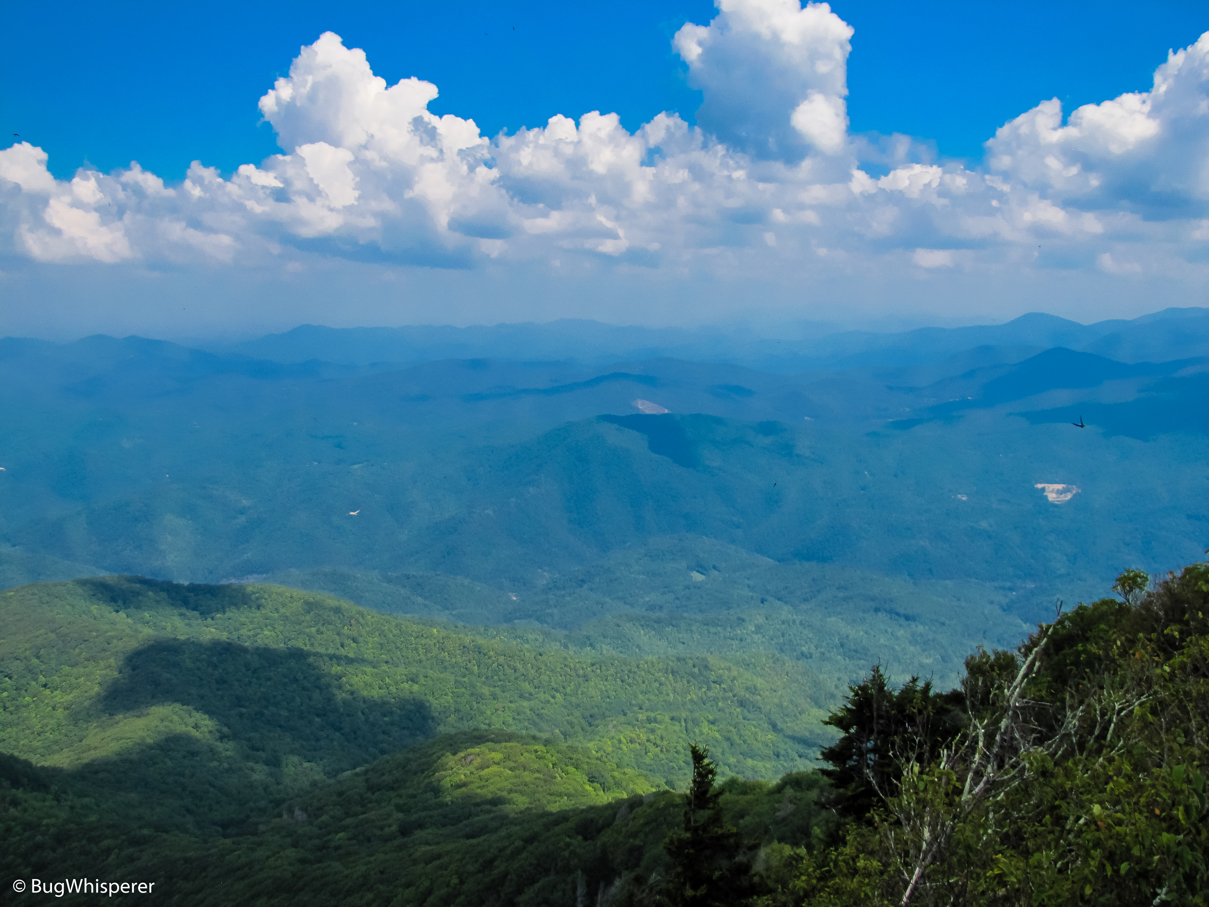
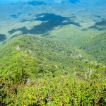
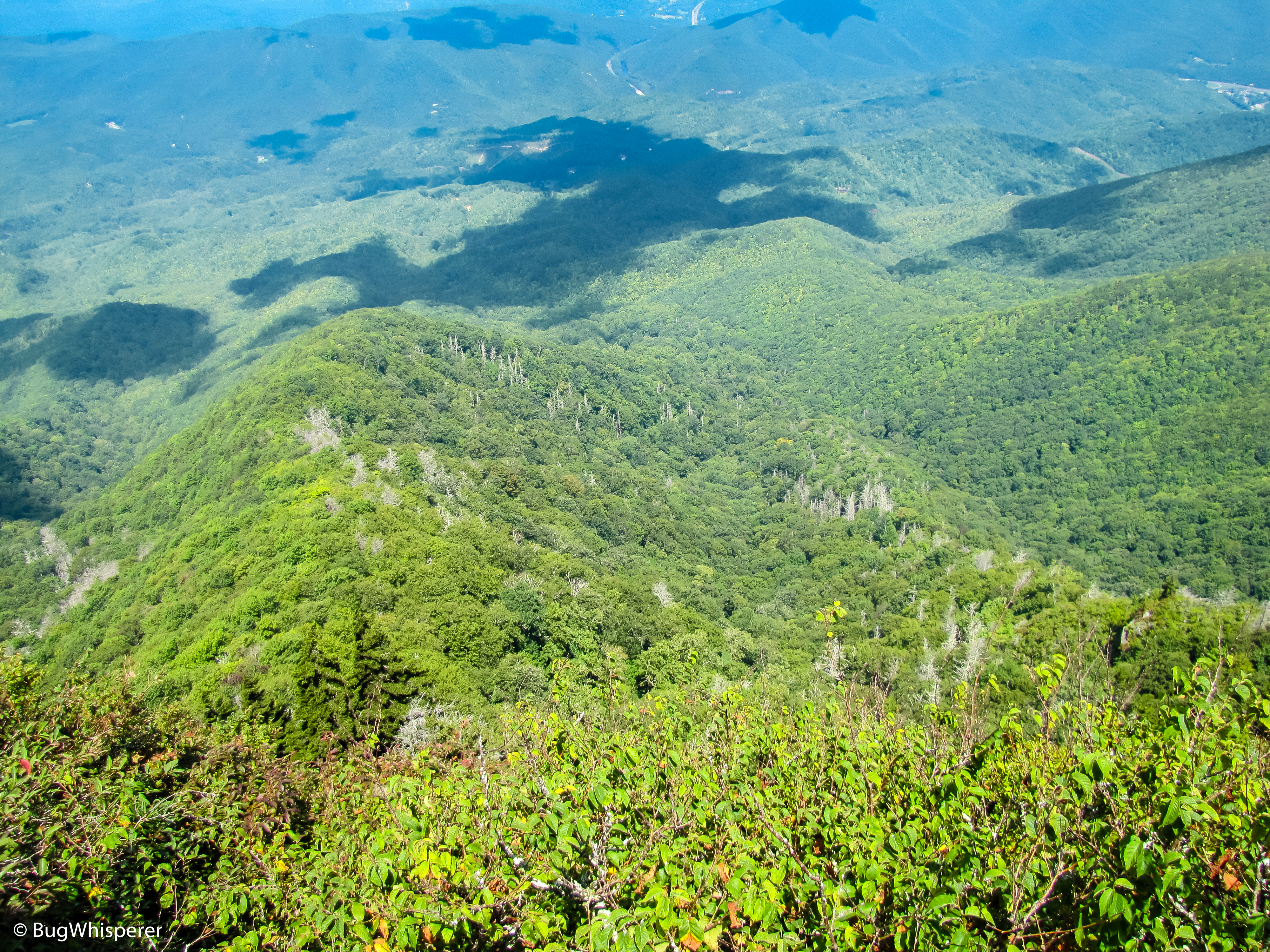
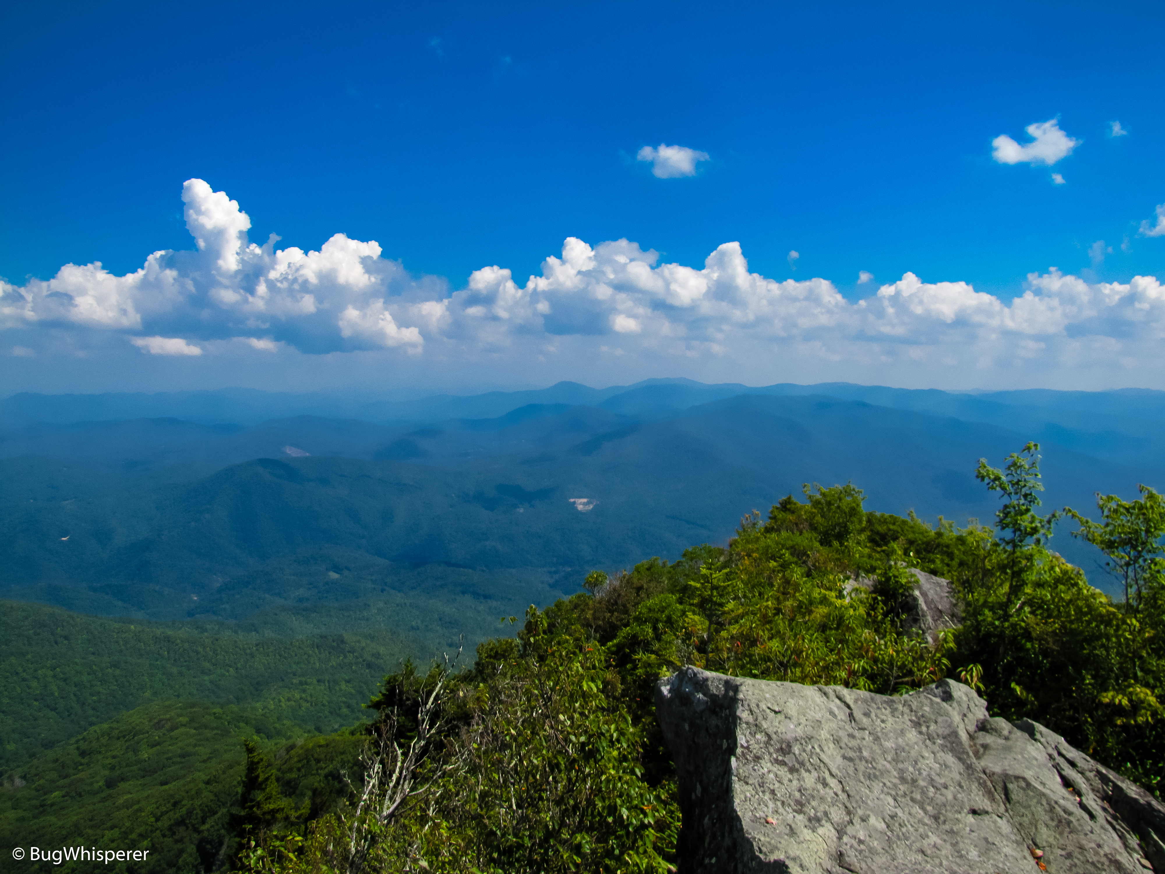
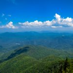
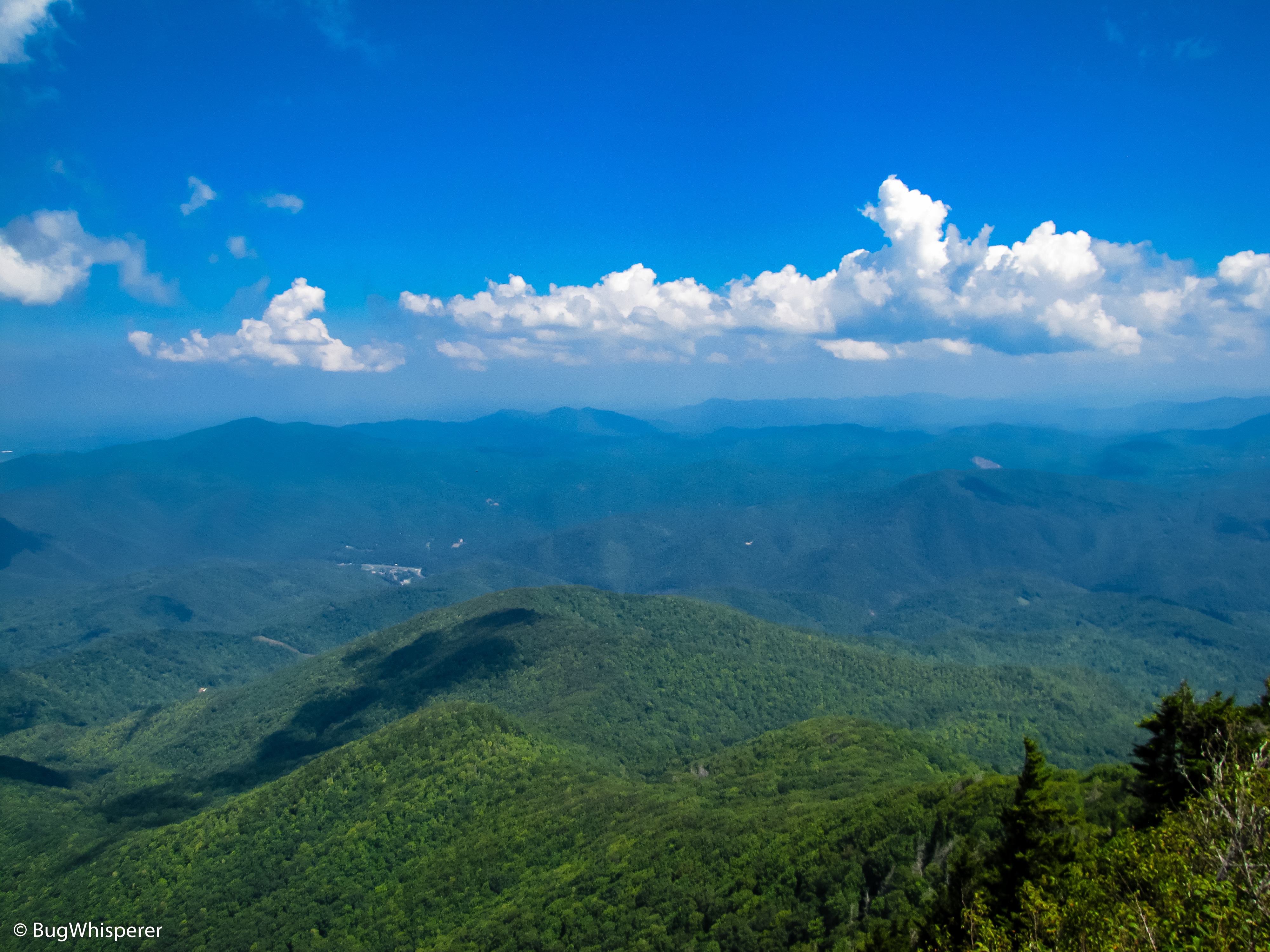
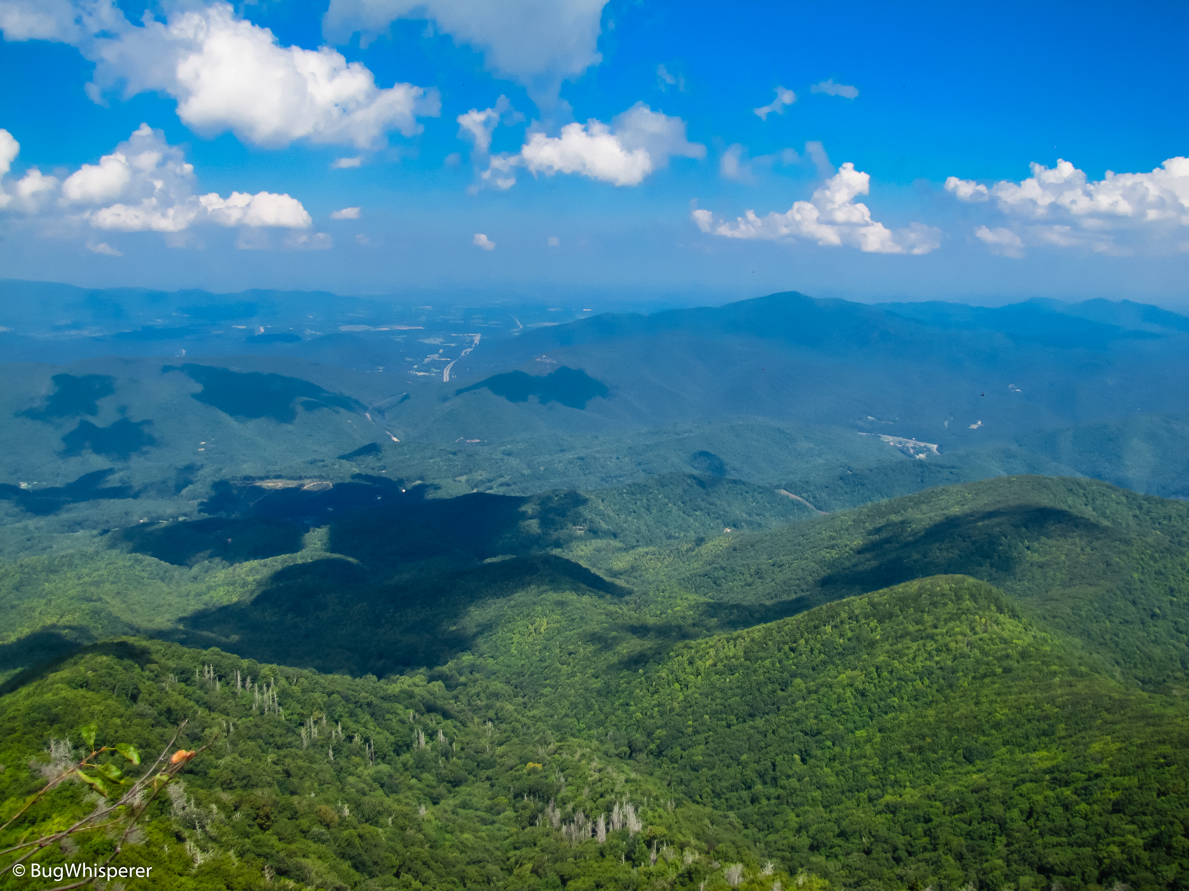
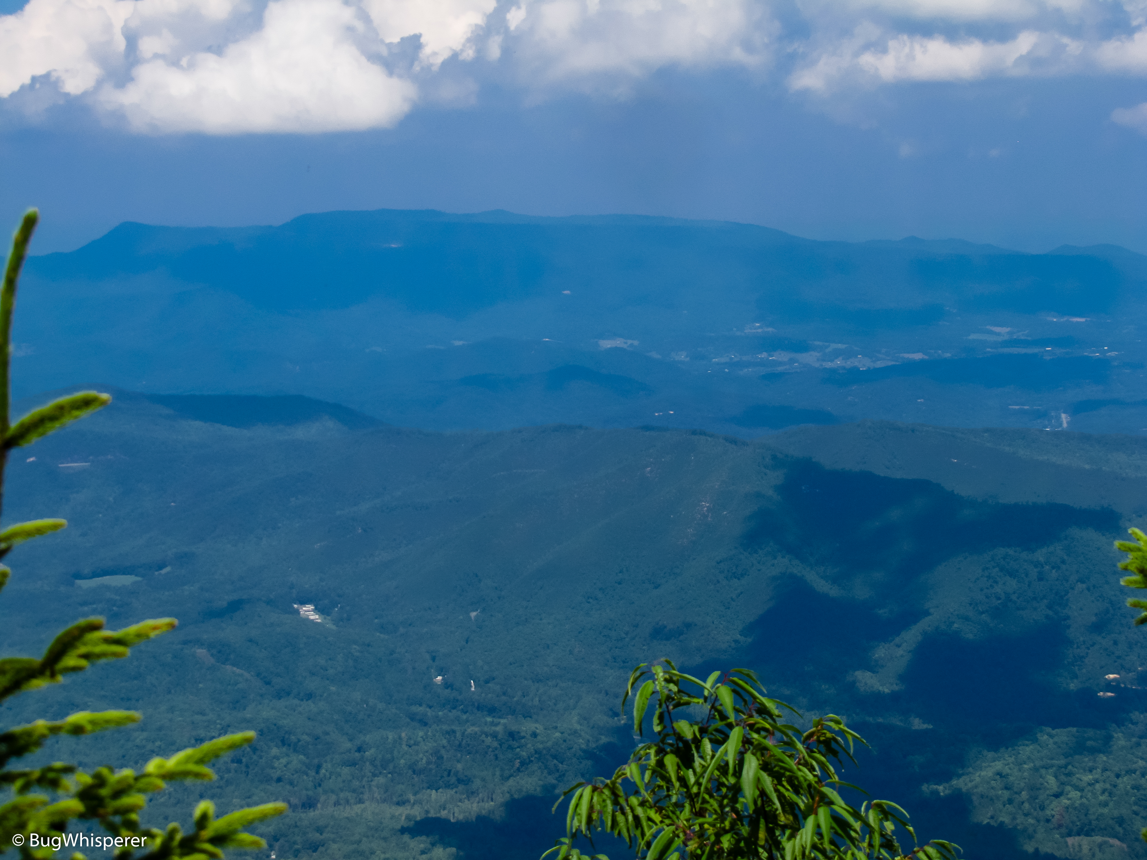
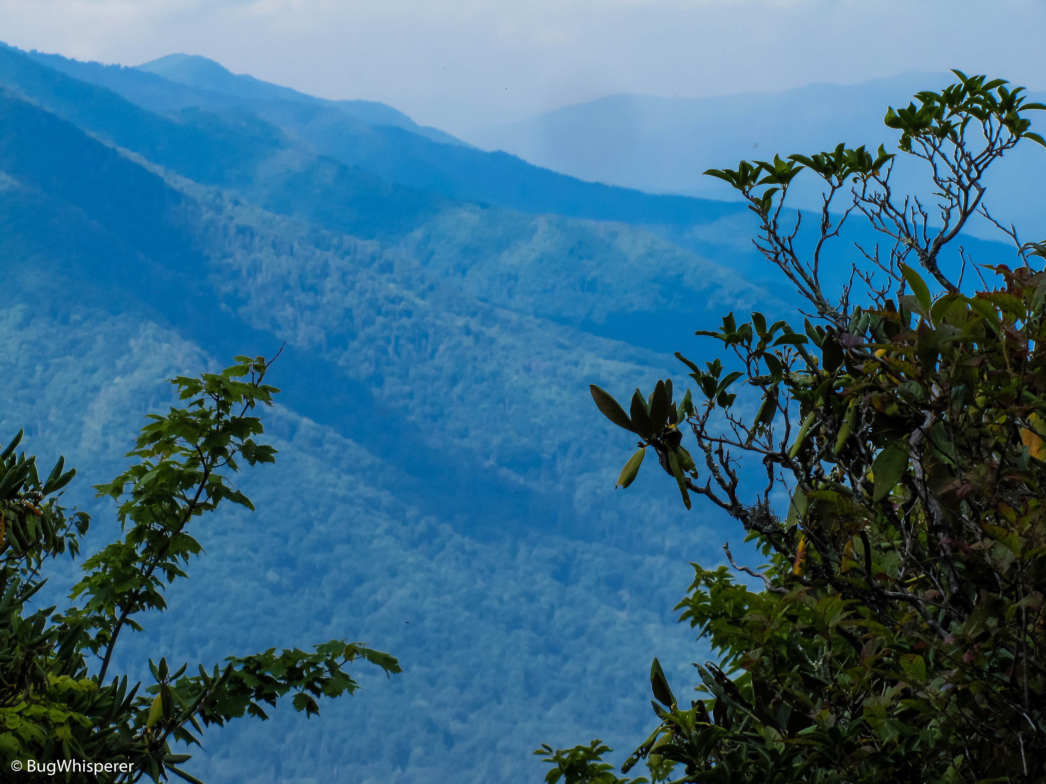
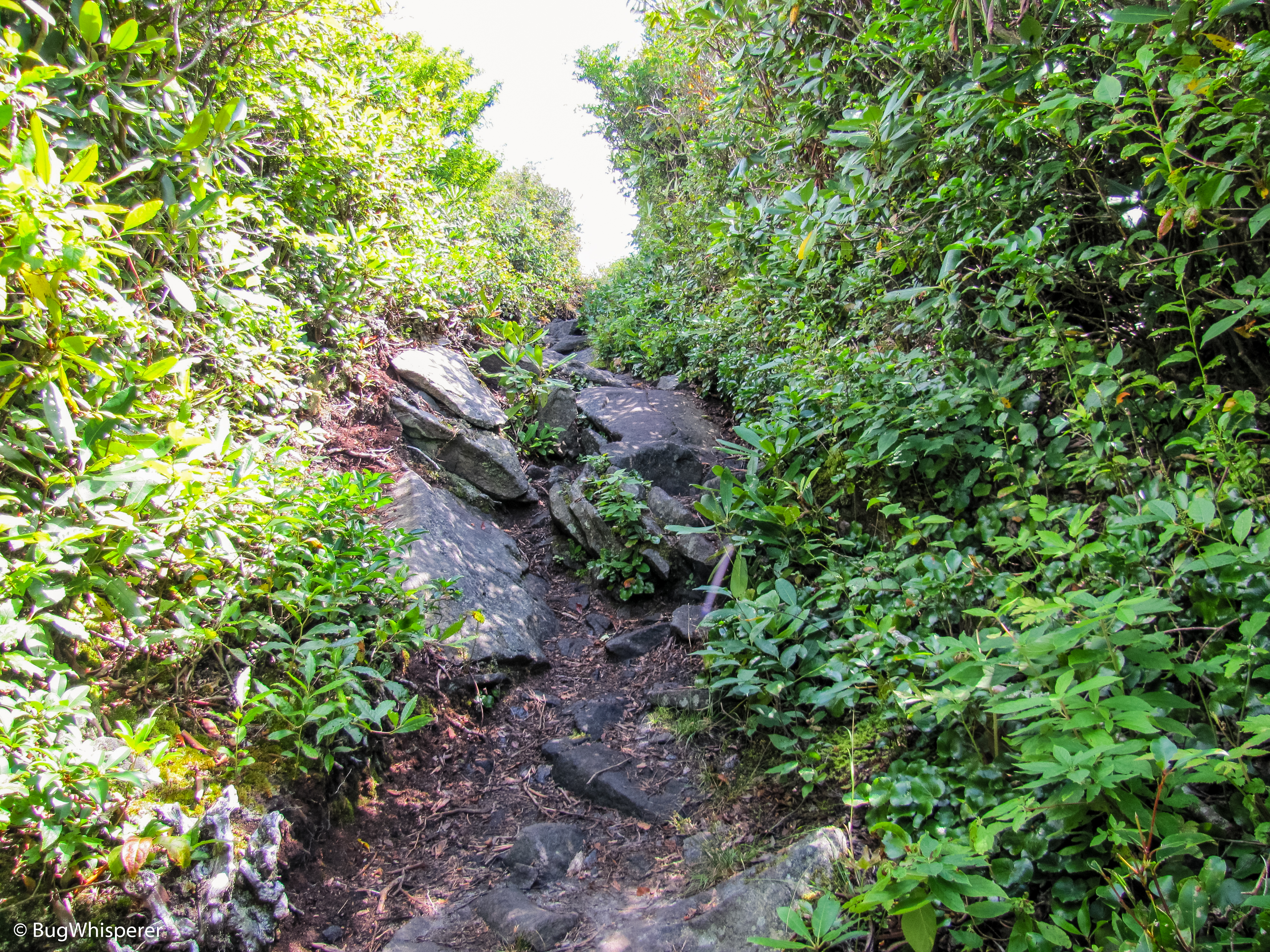
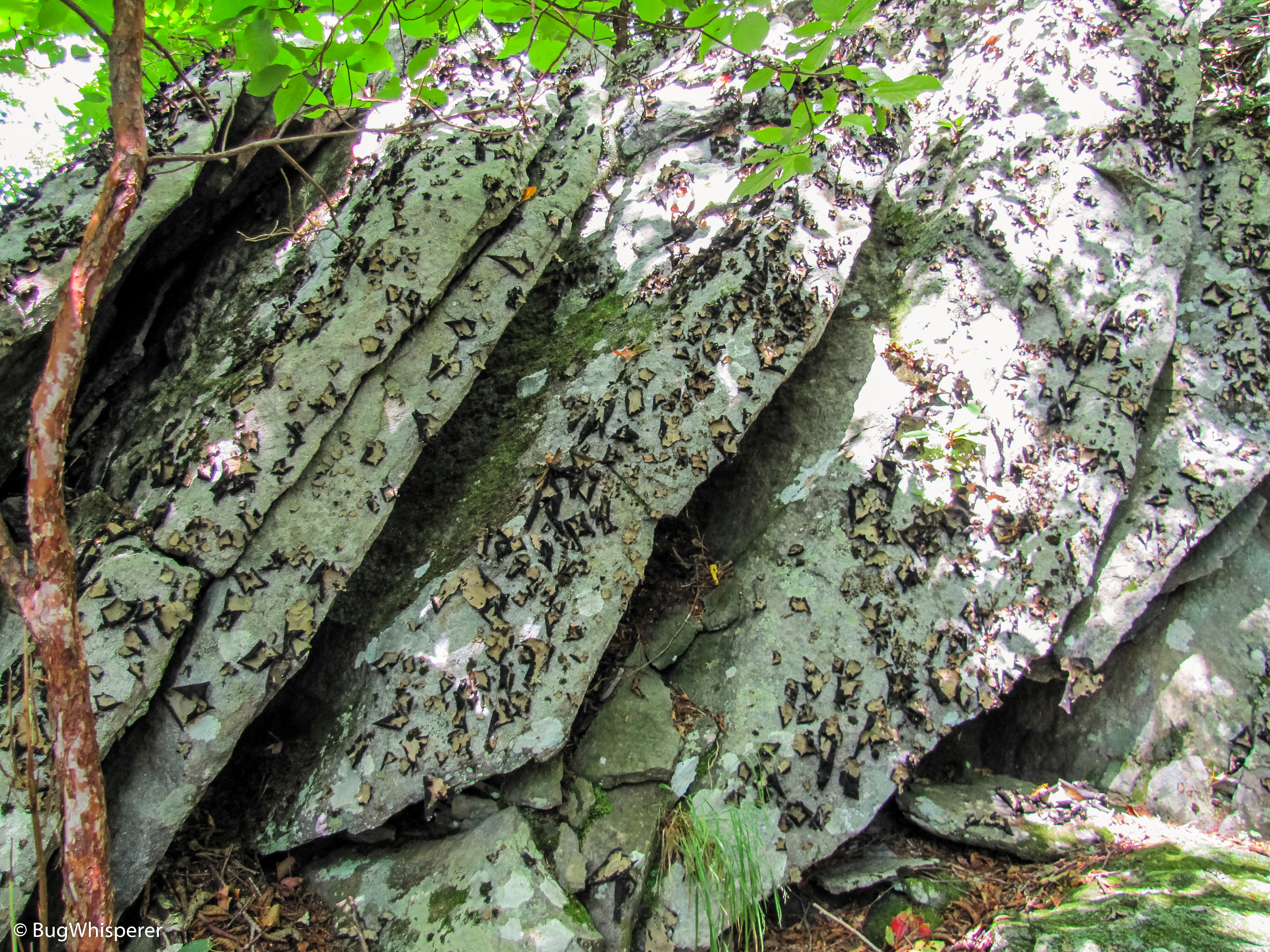
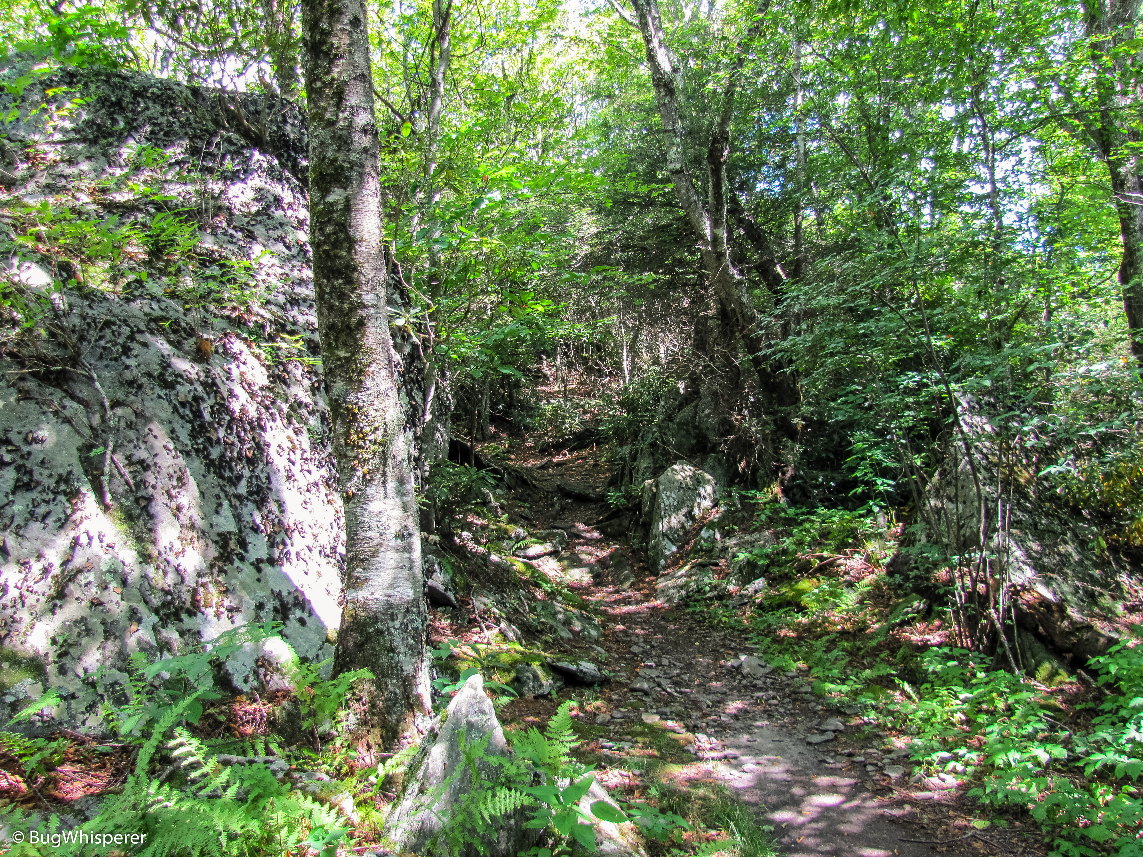
This trail is a short out and back that brings you to the Mt Cammerer Fire Tower. There is a little rock scramble and no trail markers, so stay alert and watch your step. The views on top are some the best in the park. You can enjoy a 360 degree view of the park. On clear day you can view multiple mountain ranges!
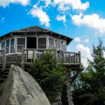
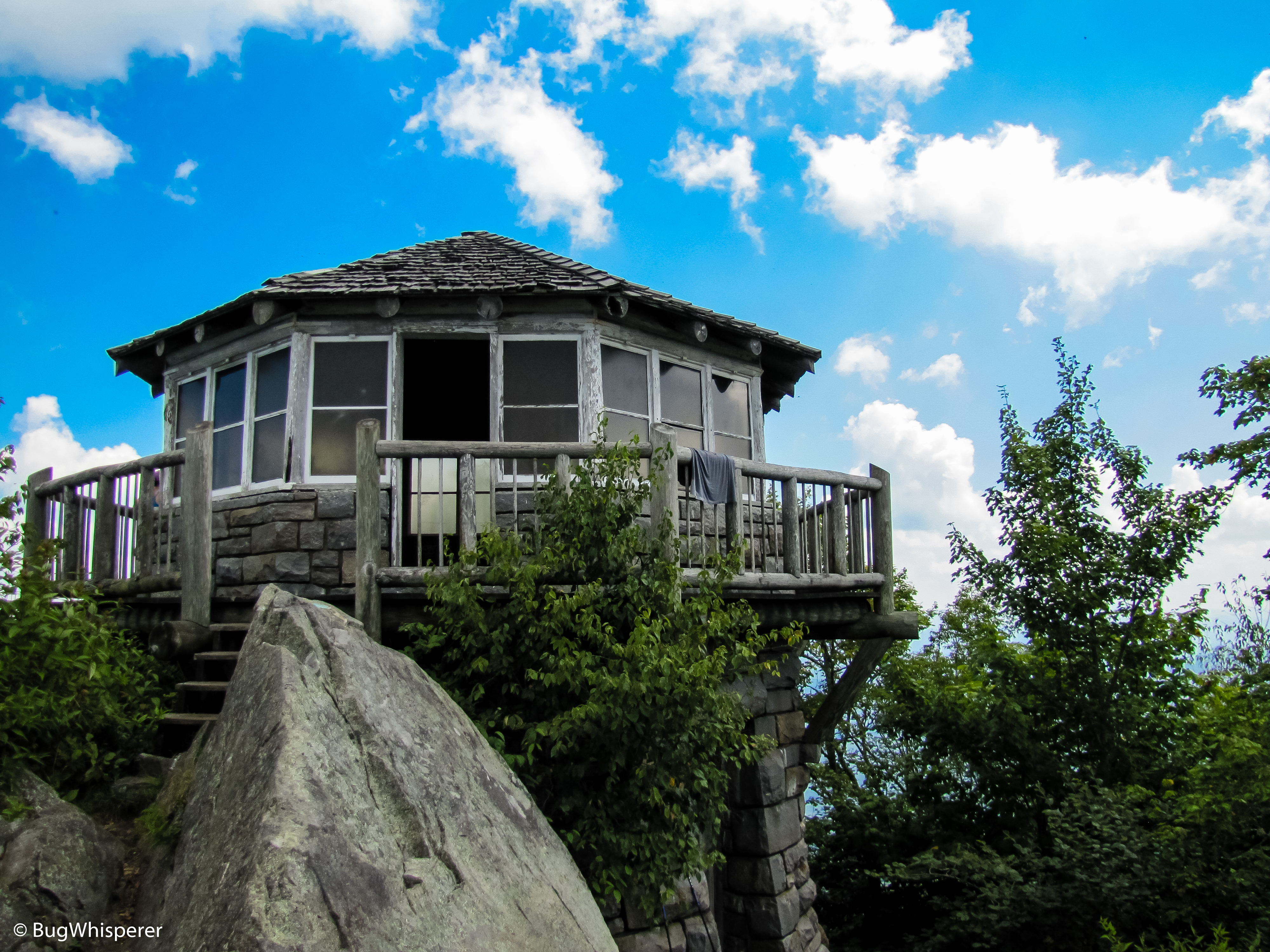
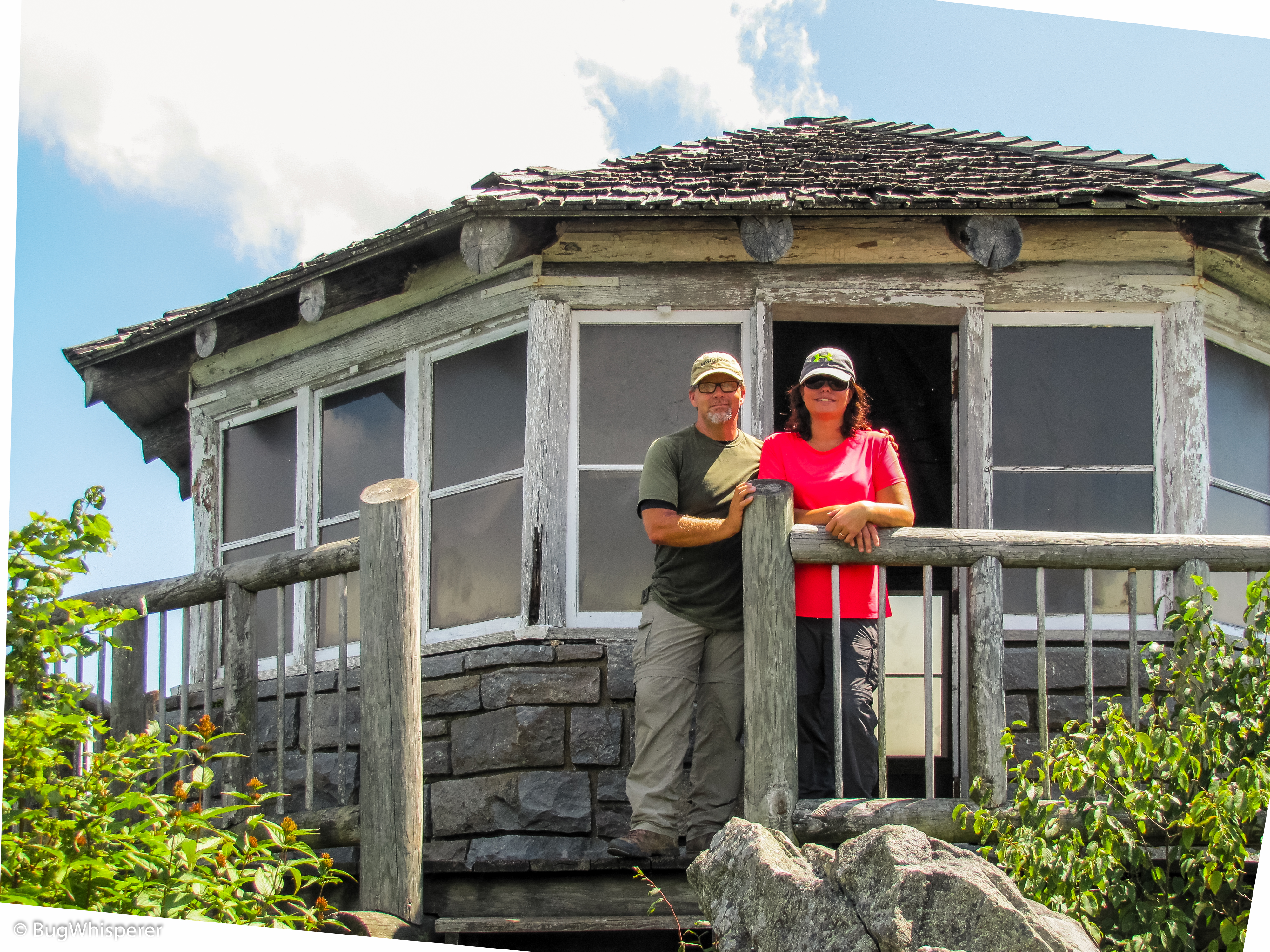
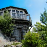
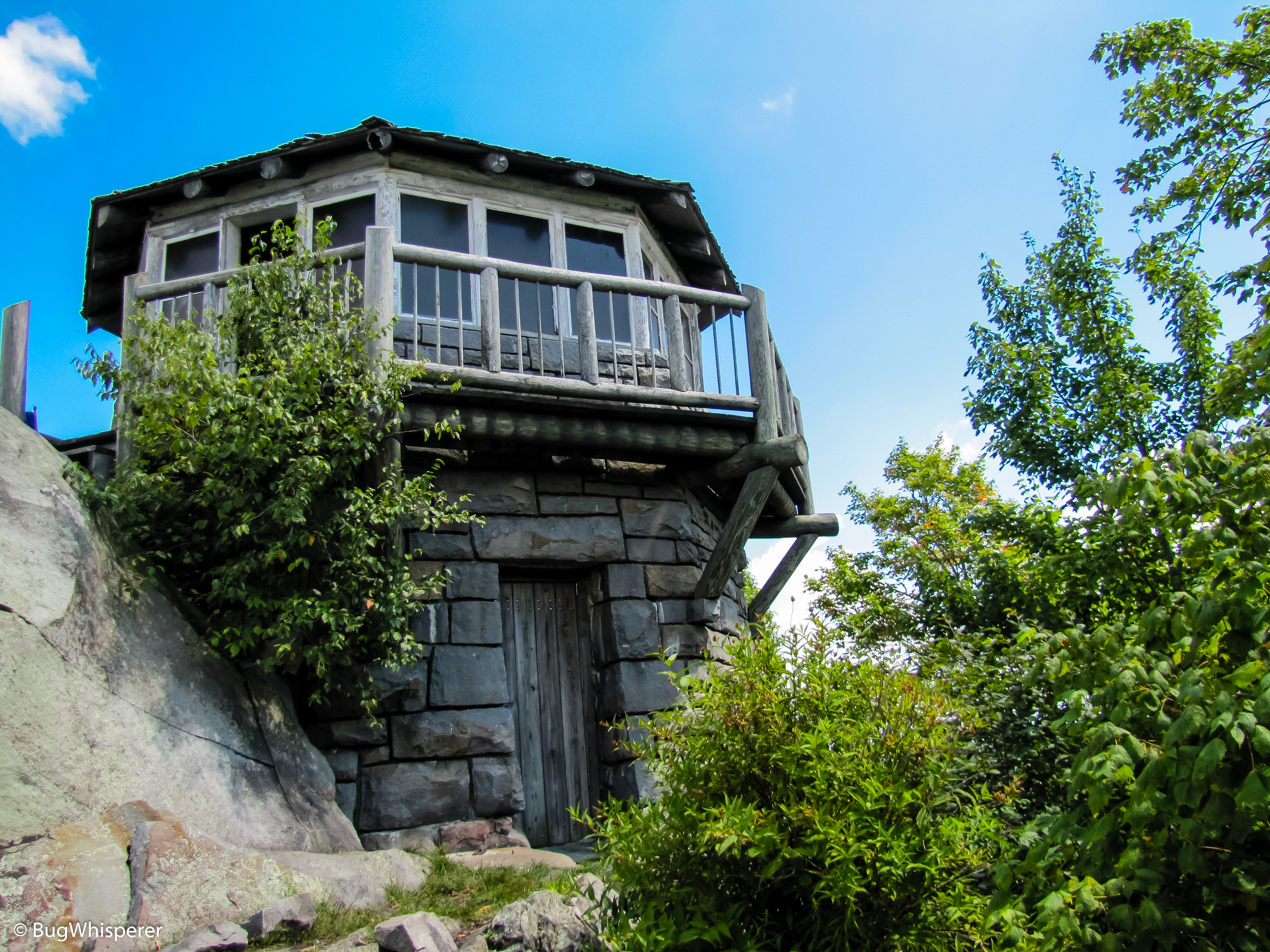
The octagonal fire lookout atop the summit of Mt. Cammerer was built by local laborers and the Civilian Conservation Corp in the late 1930s. The men who built the lookout drilled and blocked the stone from a quarry only one hundred yards downhill from the tower. Some of these stones weighed as much as 600 pounds!
The architectural style used for the lookout was called “western” because it didn’t require a raised structure to see above the trees.
Between February 15th and May 15th, and then again from October 15th through December 15th, the structure was manned by lookouts who lived on the premises on two-week tours. This lookout was operated until the 1960s when modern fire detection methods were able to replace it.
Midlife Hikers Maps and Tracks
| GPX Track File | Mt Cammerer Spur Trail OUT 1 file(s) 14.53 KB
|
| Official Park Map | Great Smoky Mountains Trail Map 1 file(s) 1.20 MB
|
Waypoints & Points of Interest
| Mt Cammerer Fire Tower | N35° 45.810′ W83° 09.682′ – Google |
| Mt Cammerer Spur Trailhead | N35° 45.427′ W83° 09.916′ – Google |
Nearby Junctions, Trails or Trips
Nearby trails and junctions include only trails that have been hiked and reviewed by Midlife Hiking Club.
| Appalachian Trail @ Low Gap Trail Junction |
| Low Gap Trail |
| Mount Cammerer Dayhike Adventure |
Midlife Hikers Comments
Best views in the Great Smoky Mountains! – BugWhisperer
One of the toughest hikes in the Smokies! – Snake Stepper
Midlife Hikers Video Review
Midlife Hikers Gallery
-

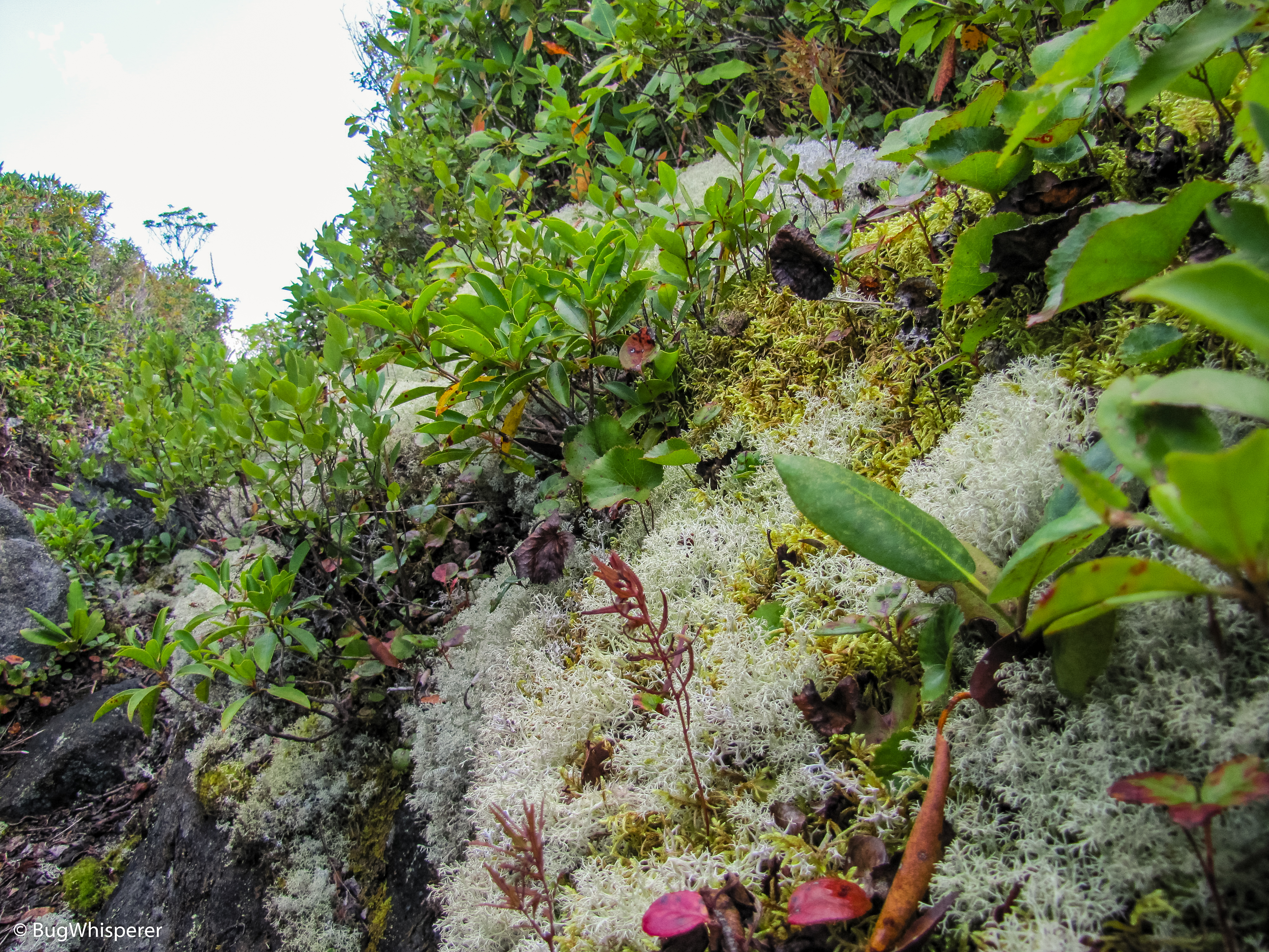
- Mt Cammerer, Cosby, Tennessee in the Great Smoky Mountains National Park
-
- Mt Cammerer, Cosby, Tennessee in the Great Smoky Mountains National Park
-
- Mt Cammerer, Cosby, Tennessee in the Great Smoky Mountains National Park
-
- Mt Cammerer, Cosby, Tennessee in the Great Smoky Mountains National Park
-

- Mt Cammerer, Cosby, Tennessee in the Great Smoky Mountains National Park
-
- Mt Cammerer, Cosby, Tennessee in the Great Smoky Mountains National Park
-

- Mt Cammerer, Cosby, Tennessee in the Great Smoky Mountains National Park
-

- Mt Cammerer, Cosby, Tennessee in the Great Smoky Mountains National Park

-
- Mt Cammerer, Cosby, Tennessee in the Great Smoky Mountains National Park
-

- Mt Cammerer, Cosby, Tennessee in the Great Smoky Mountains National Park
-
- Mt Cammerer, Cosby, Tennessee in the Great Smoky Mountains National Park
-

- Mt Cammerer, Cosby, Tennessee in the Great Smoky Mountains National Park
-

- Mt Cammerer, Cosby, Tennessee in the Great Smoky Mountains National Park
-

- Mt Cammerer, Cosby, Tennessee in the Great Smoky Mountains National Park

-

- Mt Cammerer, Cosby, Tennessee in the Great Smoky Mountains National Park

-

- Mt Cammerer, Cosby, Tennessee in the Great Smoky Mountains National Park
-
- Mt Cammerer, Cosby, Tennessee in the Great Smoky Mountains National Park
-

- Mt Cammerer, Cosby, Tennessee in the Great Smoky Mountains National Park
-
- Mt Cammerer, Cosby, Tennessee in the Great Smoky Mountains National Park
-

- Mt Cammerer, Cosby, Tennessee in the Great Smoky Mountains National Park

Pingback: Low Gap Trail – Midlife Hiking Club
Pingback: Appalachian Trail @ Low Gap Trail – Midlife Hiking Club